Vantor@vantortech
Last week in Austin, Vantor sponsored the Tectonic Defense Summit, where one of the big themes was how spatial intelligence is shaping the future of warfare, real-time intelligence, and autonomy.
A few takeaways that stood out:
➡️ The mission has evolved from data access to decision advantage. The question is no longer whether we can collect imagery—it’s how quickly we can detect change, generate insight, and act on it—and operationalize those insights at scale through platforms like Sentry.
➡️ Speed is the new differentiator. Near real-time intelligence is becoming the baseline, with commercial capabilities accelerating the path from collection to action and enabling faster, more informed decision-making across the mission.
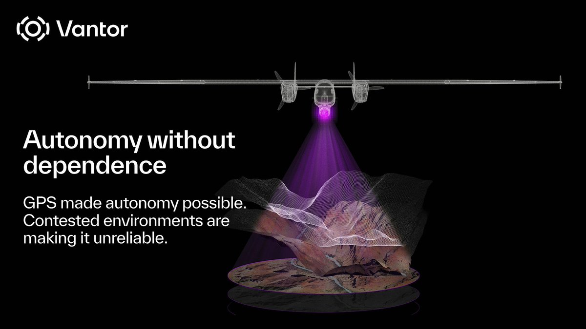
➡️ Autonomy depends on context. As systems become more autonomous, the quality, timeliness, and interpretation of geospatial data will define their effectiveness—highlighting the need for integrated, AI-enabled solutions.
➡️ Commercial and government collaboration is critical. Delivering mission impact requires tighter integration between USG and commercial partners to keep pace with evolving threats and technologies.
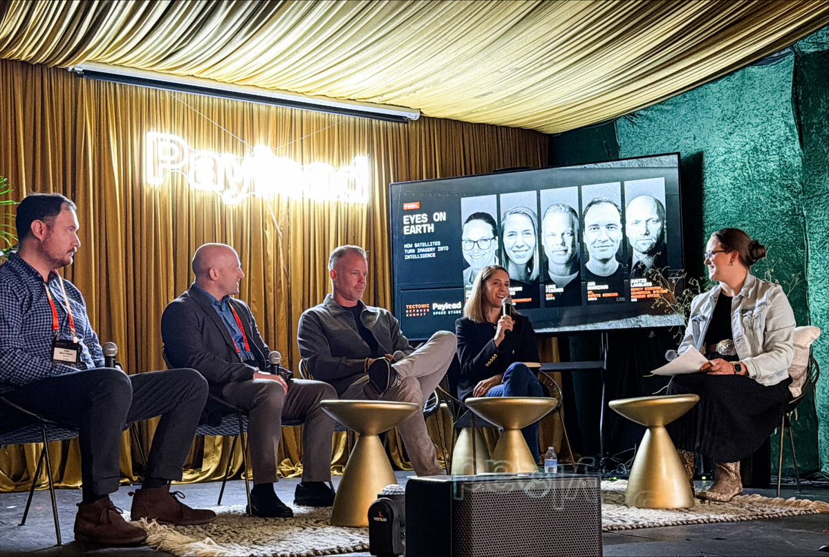
We were proud to contribute across the summit—from Susanne Hake’s panel on how satellites turn imagery into insight, to Derek Stevens talking about how operational terrain supports the warfighter, to Bill Tinney demoing our Sentry site monitoring capability.
Thank you to the Tectonic team for hosting a great event and for creating a forum for important conversations like these.