
The right level of detail depends on the mission.
Vivid Terrain provides a trusted, highly accurate, off-the-shelf 3D foundation with broad global coverage, giving you a consistent view for mapping, planning, simulation, and analysis.
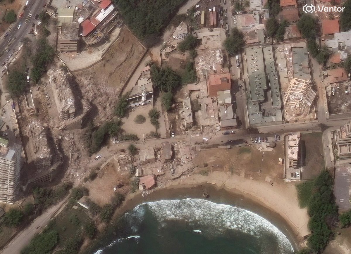
When the mission demands a closer look, WorldView 3D HD delivers an exceptionally detailed, current view of a specific area. Whether you're assessing damage after a natural disaster, analyzing changes to critical infrastructure, or planning operations where terrain detail can influence every decision, that additional level of fidelity provides the confidence to act.
The video below shows how these capabilities complement one another. One provides the broad, trusted foundation. The other delivers the additional detail when precision matters most.
Explore WorldView 3D: vantor.com/product/worldv…
English