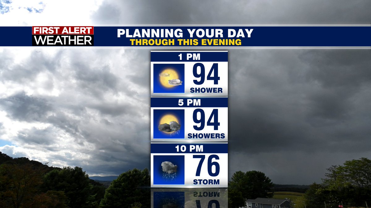
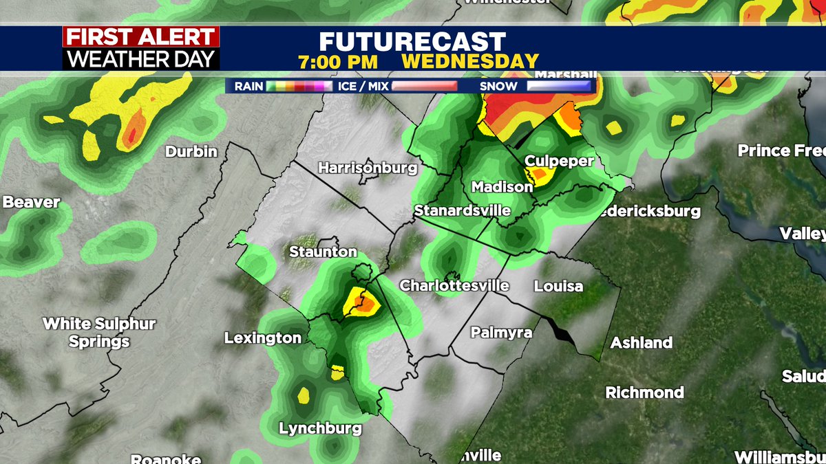
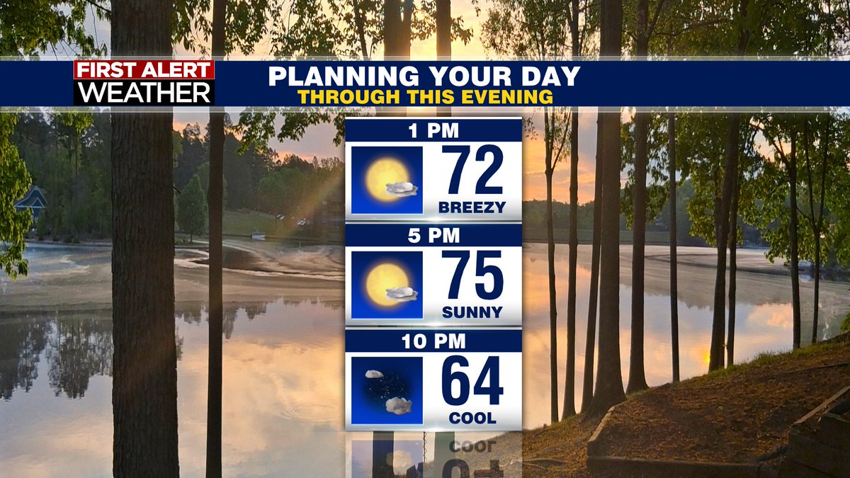
First Alert Weather Day - slight severe storm risk - highest concern would be damaging wind gusts. Showers and storms look scattered in nature. Showers fade after 10 PM. Highs will be in the low to mid 80s.
Thursday - isolated showers possible
Friday - sunny & dry
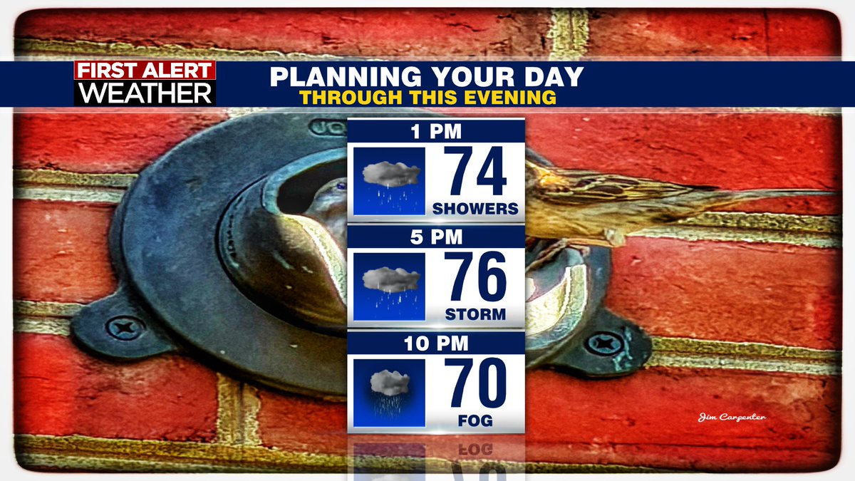
Another gloomy day…but at least we’re warm! Highs will be in the mid to upper 70s. On and off showers expected throughout the day 🌧️with storms chances in the evening ⛈️Another 1” of rain is possible into Wednesday !
Rain rain doesn’t go away!! Still gonna be cool Friday and Saturday in the lower 60s. Overcast conditions ☁️ and showers for both days. ☔️
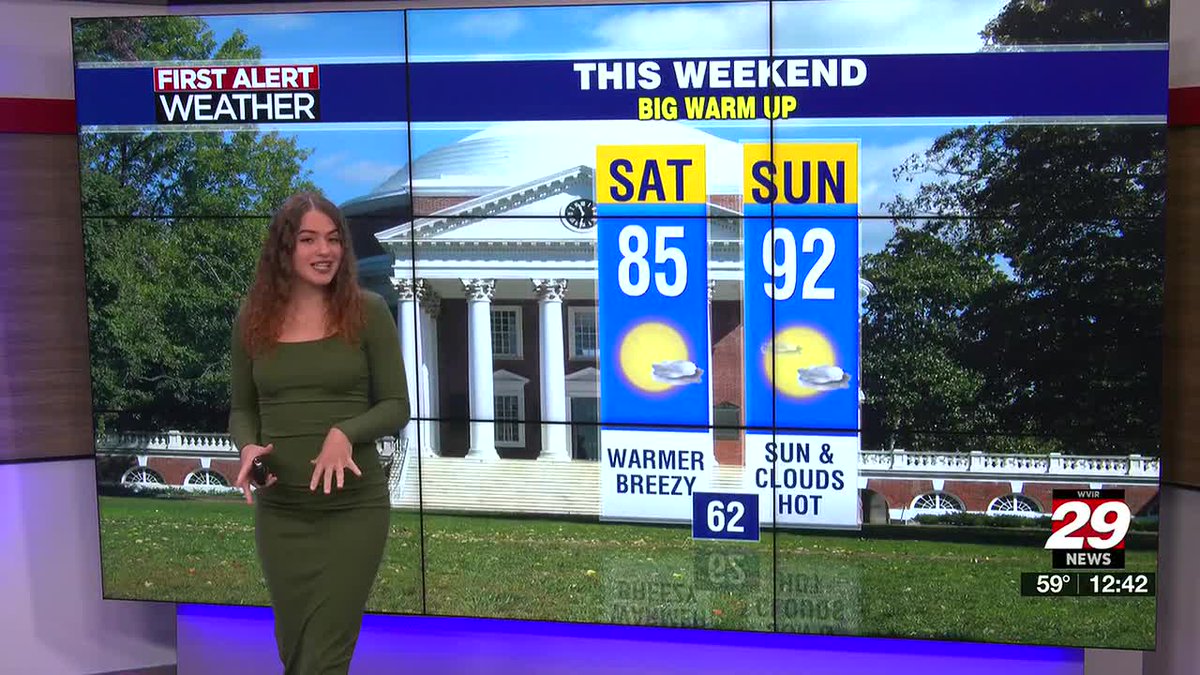
Sunday and brings has higher chances for sunshine and storms ⛈️ and warmer weather !! Have a great weekend
Don’t forget the umbrella or your jacket tomorrow - temperatures continue to fall as the front passes. Temperatures could struggle to stay in the 60s during the evening hours.
Showers and storms ⛈️ expected on Wednesday - afternoon/evening. SPC currently has us under marginal risk for severe weather (1/5). Rain totals are expected to be under 0.5".
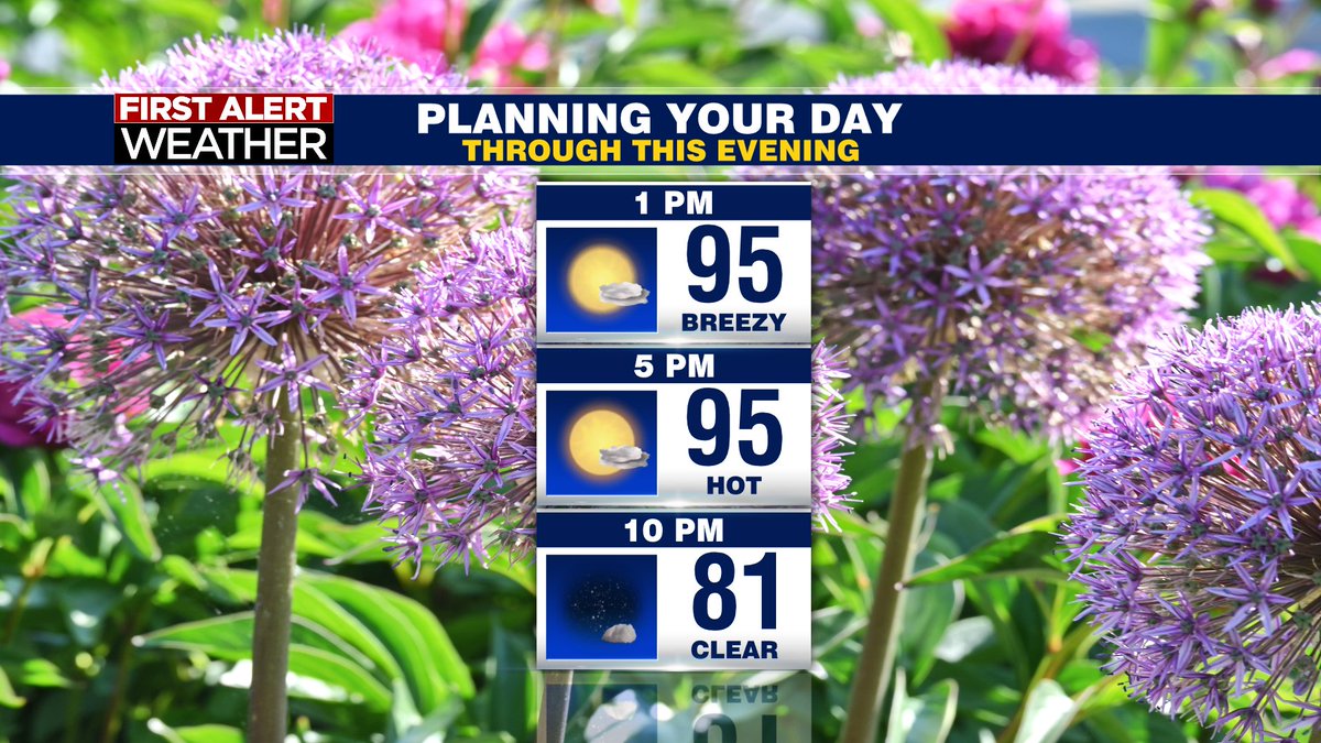
Highs today will be in the low to mid 90s - so HOT & HUMID 🥵🥵
Dewpoints in the 60s means it’s feeling a bit uncomfy and it’s gonna feel a little warmer than it actually is. On the bright side - lots of sunshine ! ☀️
Showers and storms Wednesday 🌩️
Rain showers tomorrow appear to arrive in the valley around noon - becoming scattered throughout the evening across the viewing area. Things pick up around 5 PM - 9 PM. Marginal risk for severe storms - highest concern is damaging wind gusts.
SO NICE TODAY!!! Happy Friday ☀️ Highs will be in the upper 60s, lower 70s. Plenty of sunshine and a bit breezy. Watch the video for details on the weekend!!
Showers expected on and off tomorrow, could even see a few storms. Thursday - scattered showers behind the front and temperatures drop into the 50s. Rain totals: 0.5" to 1".