Clipperman - also on other platforms, but no FB/IG
158.9K posts

Clipperman - also on other platforms, but no FB/IG
@clippersncrows
Writer. #Baltimore. Fan of: Baltimore O's, Baltimore Colts, City Knights, Baltimore Stars, Baltimore Stallions, Baltimore Ravens, Maryland Terps, et. al.

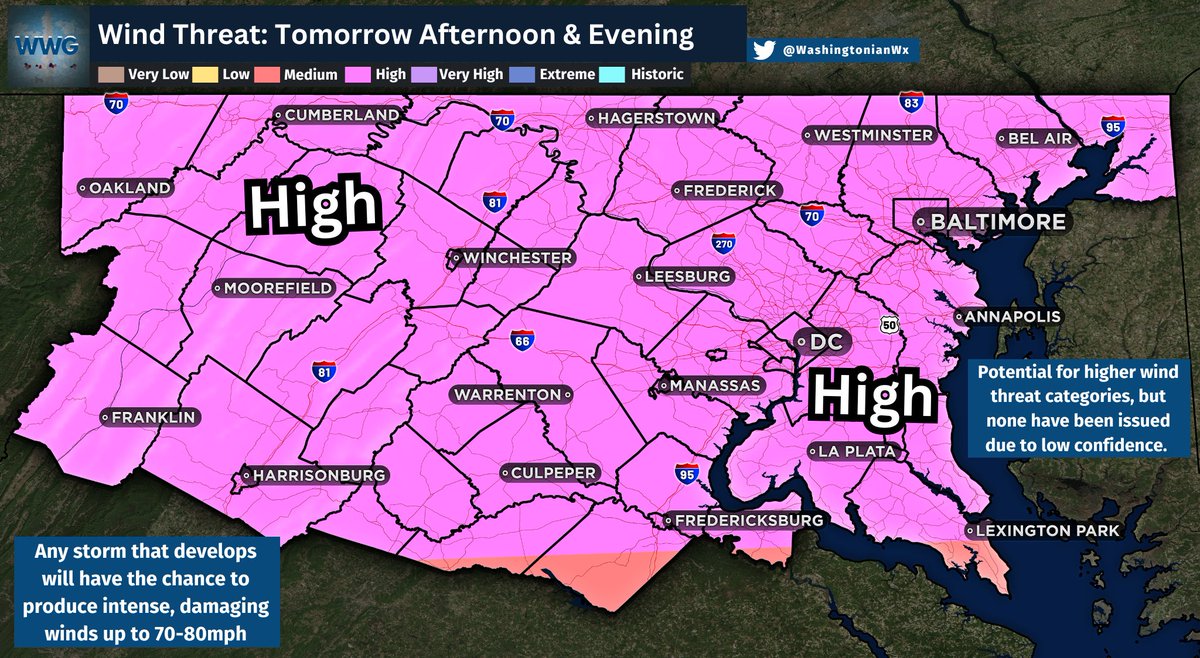
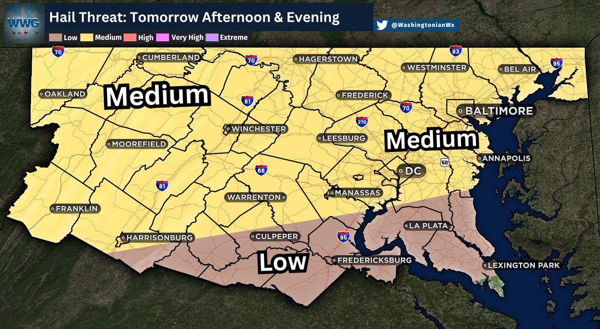
Latest KaneCast: Enhanced Risk in place for Tuesday, July 21st - Most potent environment this year for the northern Mid-Atlantic - Numerous to widespread damaging wind gusts expected - Isolated tornadoes possible (brief stronger tornado possible) - Worst of the weather: 2-8pm


‼️ ENHANCED Severe Storm Risk Tuesday July 21 👉This has the potential to be the biggest outbreak in our region of the year. 💁🏻♂️Yes, I remember the March event looked similar and didn't pan out... This event has more summer heat AND upper level dynamics to support destructive weather. We just had it over the weekend and I hope you take this seriously. 👀 Yes, this looks scary, but this is IMPORTANT: 🎲 The ODDS here are for the chance this occurs within 25 miles of any spot shaded in. It is NOT a promise for everyone. What we may see: ⛈️ Multiple Supercells May Form Over Many hours. This may include morning storms. 💪 Peak Activity will be 3 PM to 10 PM Tuesday (A resurgence OVERNIGHT t may push across Southern Maryland and Delmarva to the Beaches) 💨 Winds 60 to 80 mph 🧊 Hail 1 to 2 inch dimater 🌪️ A few tornadoes possible 💦 Flash Flooding with rainfall rates 2"/Hour at times. ⚠️ A Watch may be issued for a 6 hour Window over a large area when chances increase. ‼️ A Warning will be issued when conditions are active and tracked through individual towns and counties. #SevereWeather #hail #tornado


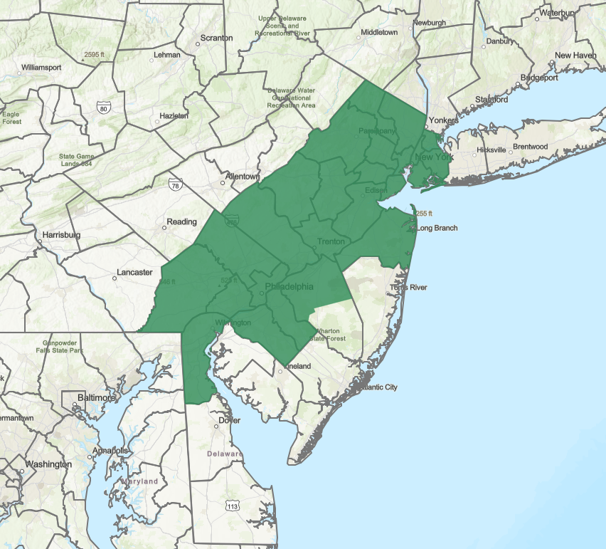
ngl new jersey my country is so beautiful #gardenstate