Dylan

15 posts

Dylan

Dylan

@dslschool2021

Katılım Mayıs 2022
1 Takip Edilen0 Takipçiler
Dylan
Dylan@dslschool2021·
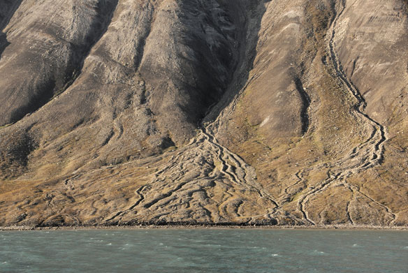
@GEO101SUNY This image here shows the hanging valley glacial landscape at Bridalviel Fall in Yosemite National Park in California. This is a glacial valley that is incised into the upper part of a U-shaped glacier valley, higher than the floor of the main valley.
Dylan tweet media
English
0
0
0
57
Dylan
Dylan@dslschool2021·
@GEO101SUNY This photo here shows an alluvial fan. It is located in Kazakhstan. An alluvial fan happens when a fast-moving mountain stream empties out onto a relatively flat plain.
Dylan tweet media
English
0
1
2
320
Dylan
Dylan@dslschool2021·
@GEO101SUNY Here is a photo of a floodplain. This one is on the Yellow River in Sichuan, China. This river is surrounded by a floodplain as many are. A floodplain is an area of land next to the river that is able to take and withstand a flood when it occurs.
Dylan tweet media
English
0
0
0
24
Dylan
Dylan@dslschool2021·
@GEO101SUNY Here is a photo of a shield volcano. It is located in Mauna Kea in Hawaii on the Ring of Fire. The last eruption it had of any sorts was just a few months ago in November of 2022.
Dylan tweet media
English
0
0
0
126
Dylan
Dylan@dslschool2021·
@GEO101SUNY This photo here shows the layering of metamorphic rock at the Grand Canyon in Arizona. You can tell with the crystals foiled in bands. The rocks were formed from a combination of high heat with high pressure and rich fluids.
Dylan tweet media
English
0
0
0
33
Dylan
Dylan@dslschool2021·
@GEO101SUNY This is the second picture of the damn in California after the drought that took place. You can tell how much everything dried out and it even went on to effect the look and color of the water.
Dylan tweet media
English
0
0
0
13
Dylan
Dylan@dslschool2021·
@GEO101SUNY This is of a damn in California. The picture on the left is from 2011 before the drought took place. It is easy to tell just how much more lively this location was with so much more green in the pictures.
Dylan tweet media
English
0
0
0
7
Dylan
Dylan@dslschool2021·
@GEO101SUNY Houses being built like this are a major harm to the soil.People may not think of it because building new things is a normal occurrence but all that heavy machinery digging into the soil hurts it. The picture below shows it with the foundation of a house being put in.
Dylan tweet media
English
0
0
0
16
Dylan
Dylan@dslschool2021·
@GEO101SUNY This here is an image of Lake Urmia in Iran. This image here shows you just how bad climate change effects things like this. The cause of this is the continuous greenhouse gases being put into the atmosphere doing things like pollution and increasing temperatures.
Dylan tweet media
English
0
0
0
17
Dylan
Dylan@dslschool2021·
@GEO101SUNY The dark green and light blue area of this map represent the Csa climate portion of Texas. As the key tells us, over a 30 year period this area got a good amount of rain like Csa climates do. Not as much as the dark blue or purple portion, but an above average amount.
Dylan tweet media
English
0
0
0
20
Dylan
Dylan@dslschool2021·
@GEO101SUNY youtu.be/3Z-cDlCUBp0 This here is a video of crazy lightning at a Yankee game in May of 2017. In baseball, when lightning is seen like this they are required to take a 30 minute break for protection of the players. A heavy thunderstorm was to follow here.
YouTube video
YouTube
English
0
0
0
19
Dylan
Dylan@dslschool2021·
@GEO101SUNY This image here shows the damage El Nino caused to Peru in 2017. The storm ended up killing over 80 people and caused over $1B dollars in damage. The storm ended up being the most costly flood ever and was a result of extreme rain coming all at once in a dry terrain.
Dylan tweet media
English
0
0
0
35
Dylan
Dylan@dslschool2021·
@GEO101SUNY This map here is of New York from 2016 on Valentine's Day. A cool part of the map is that the coldest place, Monticello, is also the closest to us so we for sure felt it! A good indicator as to just how cold it is is that no temperature on the map is above 0 degrees.
Dylan tweet media
English
0
0
0
38
Dylan
Dylan@dslschool2021·
@GEO101SUNY Here is a video explaining the greenhouse effect. The many different models the video shows does a great job of making the understanding more simple. A simple defenition would be that it is the trapping of heat inside Earth's surfaces. youtu.be/ZlKWZmrNms4
YouTube video
YouTube
English
0
0
0
15
Dylan
Dylan@dslschool2021·
@GEO101SUNY This map shows the population density in each county of the US from 2020. I find this map interesting as it is cool to see how different big areas of the country are. The east coast is so much more filling compared to the Midwest.
Dylan tweet media
English
0
0
0
36