Sabitlenmiş Tweet
Felt
3.6K posts

Felt
@felt
A better way to work with maps. @Bluesky: https://t.co/TJfGQsZH6l
37°48'26.9"N 122°16'03.2"W Katılım Ocak 2008
137 Takip Edilen11K Takipçiler
This isn't just another feature update – it's a fundamental shift in how teams can work with spatial data.
Felt SQL queries work across all your cloud sources including PostGIS, Snowflake, Databricks, Redshift, BigQuery and Microsoft SQL Server.
No more context switching, no more data silos, no more compromises. Connect, query and share.
English
We're thrilled to introduce SQL queries in Felt, putting the full power of your database directly at your fingertips. ✌️
For years, teams have trusted Felt to build maps, apps, and dashboards that bring spatial insights to life.
Now, we're taking that capability to the next level. With SQL queries, you can tap directly into your data warehouse and craft custom queries within the Felt environment you already know and love.
English
@SustGeoLove Love to hear you’ll be taking advantage of this in your workflows!
English

@felt Felt's update is a significant step forward for collaborative GIS! New data-associated comments feature will enhance our project workflows.
English
The best collaborative GIS tool just got even better. 🚀
Data-associated comments are live in Felt! You can now comment directly on vector and raster features, move your comments around by dragging, open features from comments, and create comments from clicked features.
#gis
English
Tired of rigid admin boundaries? Use H3 for a more precise spatial analysis!
Visualize your data in H3 bins in a few simple steps:
• Upload to Felt
• Select H3
• Done!
See it in action ⤵️
#SpatialAnalysis #DataVisualization #GIS
English
Exploratory spatial data analysis tools are essential for visualizing and analyzing spatial data, helping uncover valuable insights. For instance, our table view feature enables users to thoroughly examine a dataset, sort attributes, and choose features to display on the map. 🗺️
English
Do your New Year's resolutions include trying out our new JavaScript SDK?
Here are five fun ideas to get the juices flowing before January:
- Take a map and remove the UI, then build a branded experience
- Finally integrate a map into that dashboard you've been building
- Filter data from a dashboard and apply those filters to a map
- Create an interactive scrolling experience that's never been seen before
- Flip through the dev docs with a cup of cocoa and dream ✨
English

English
Traveling for the holidays? Don't leave town without optimizing your route for proximity to @tacobell with this deeply technical analysis from our own super fan and cartographer @mamataakella 🌮 🌯
Message us and we will send you the link :)

English
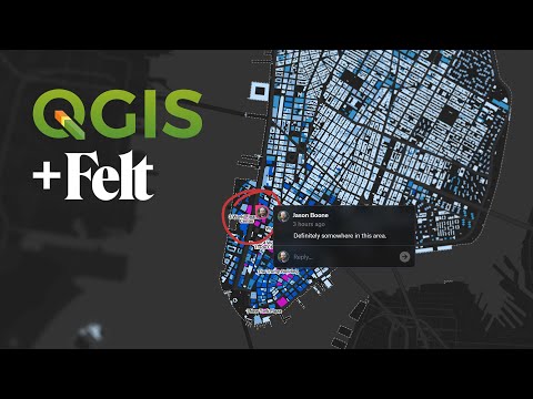
Show us your EOY toolbar, QGISers!
If it doesn't have Felt's plugin, you've been missing out! We want QGIS users to have best-in-class tools at their fingertips, and that's why we built the lightning fast plugin with our friends at @northroadgeo to instantly visualize your #QGIS maps on the web.

English
Our H3 tiles render instantly and it’s all thanks to Tippecanoe – Felt's open-source geodata pre-processing tool that optimizes visual appearance across data densities and zoom levels to deliver fast web map tiles.
Tippecanoe dynamically assigns points to H3 bins as tiles are served, calculating aggregate statistics for each point at every zoom level. This eliminates static binning, enabling lightning-fast, real-time summary calculations across all zoom levels.
Learn more: github.com/felt/tippecanoe
English