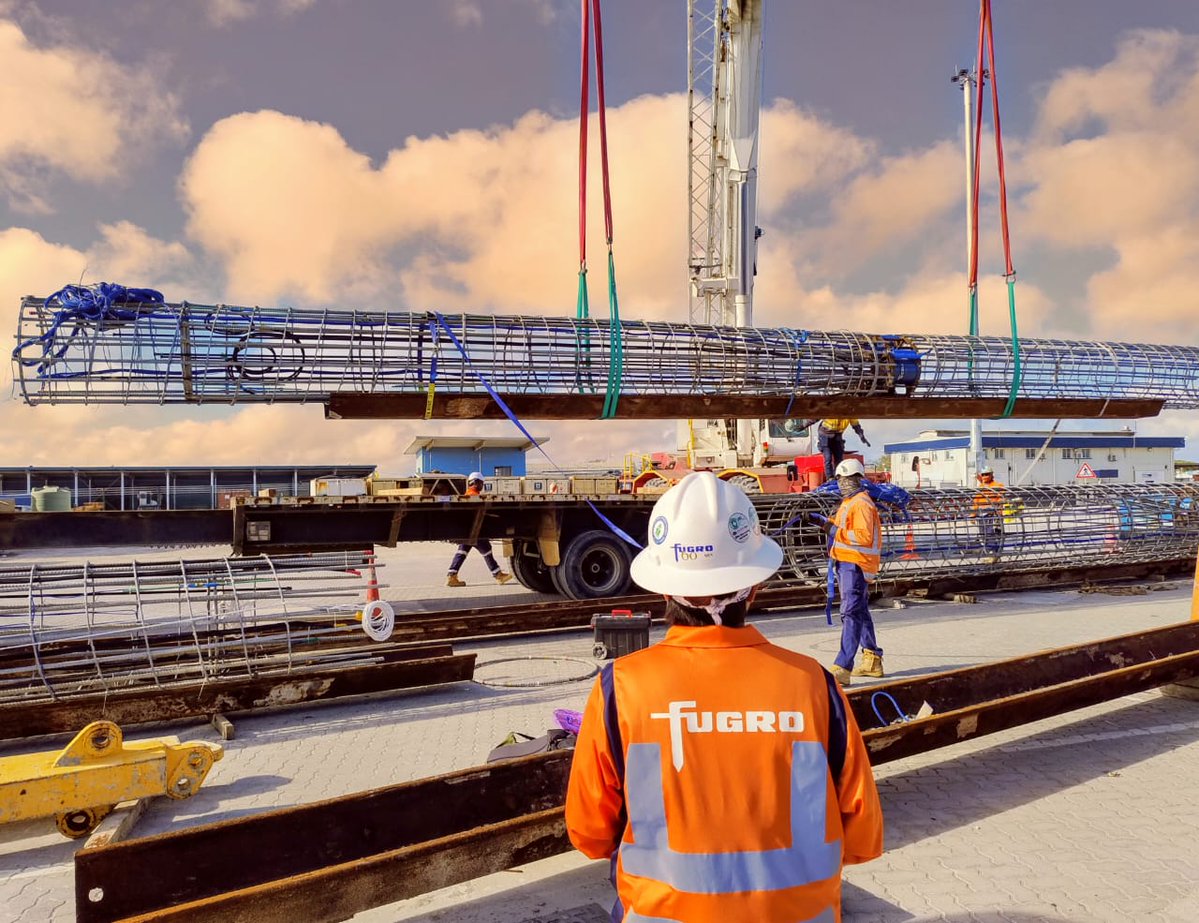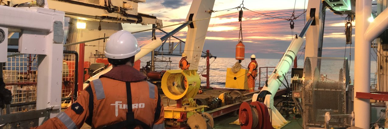

🔋 How do you build the foundations for one of the UK's most important clean energy projects?
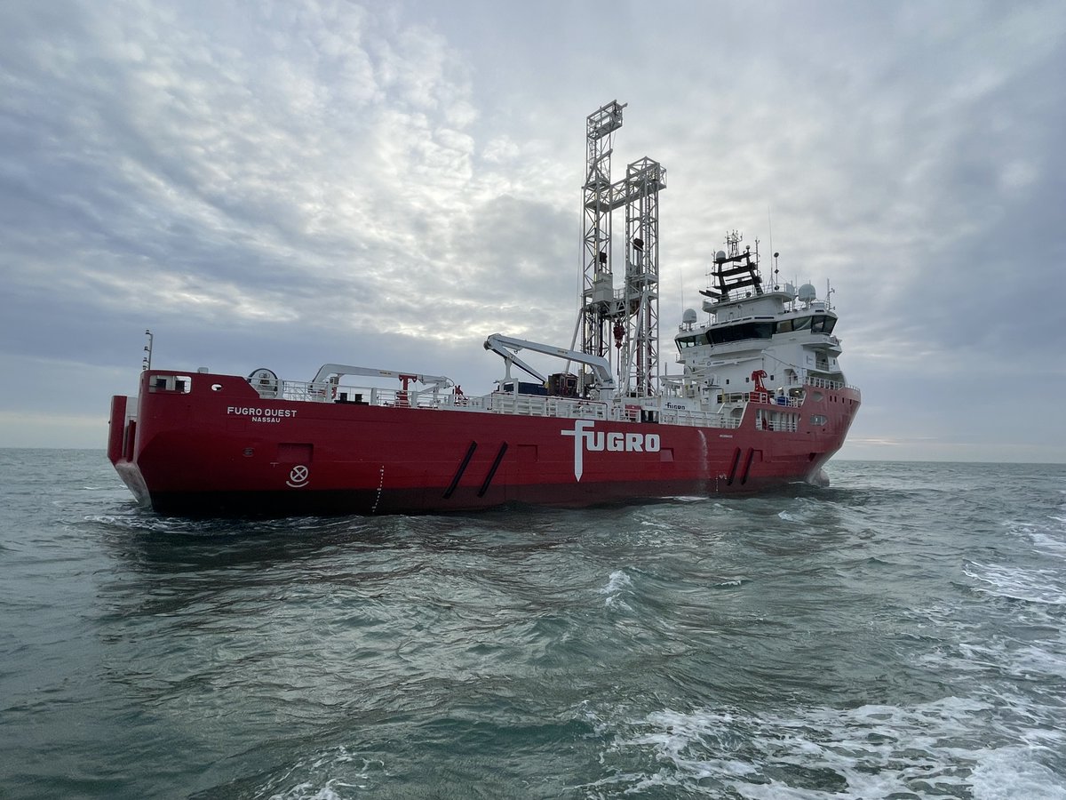
Our 10+ year partnership with Sizewell C has delivered critical Geo-data across land, coastal and marine environments, supporting the development of a nuclear power station that could supply power to 6 million homes and avoid 9 million tonnes of CO₂ annually.
📖 Read more: fugro.com/expertise/case…
#CleanEnergy #Nuclear #Infrastructure #GeoData #EnergyTransition #Fugro

English