GeoSmart
159 posts


GeoSmart
@geosmartspace
Making use of advanced space & geospatial tech to model future scenarios & provide info that can improve efficiencies, reduce risk & inform better decisions.
Stellenbosch, South Africa Katılım Eylül 2017
25 Takip Edilen32 Takipçiler

Mining is one of the most extreme forms of human-induced mass movement. This GIF shows how surrounding landscapes remain largely stable while the active mine continuously transforms over time, highlighting the value of geospatial change detection & environmental monitoring.
GIF
English
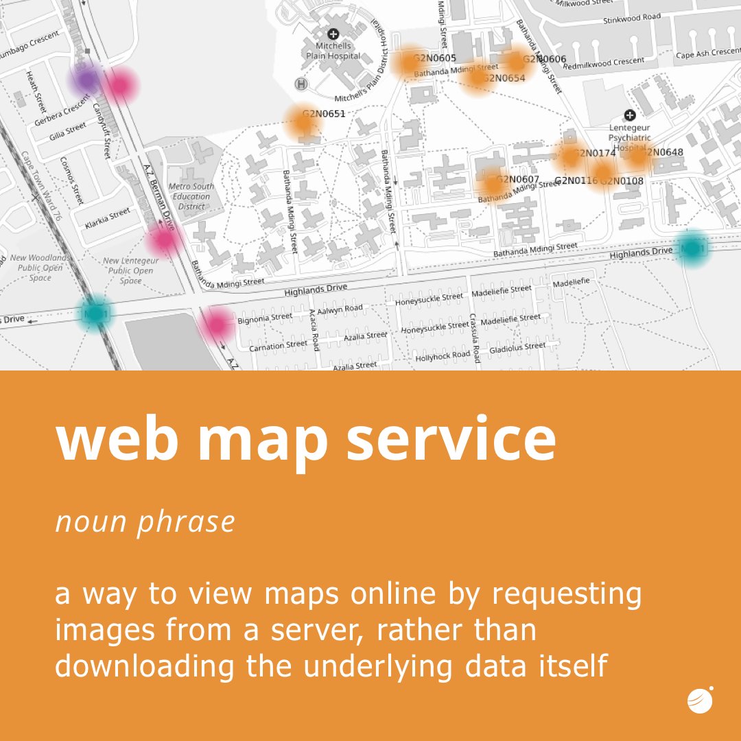
A Web Map Service (WMS) is a standard protocol used in geographic information systems (GIS) for delivering map images over the internet.
It is defined by the Open Geospatial Consortium, which sets rules to ensure different geospatial systems can communicate effectively.
English
SUDEM+: A New Standard for Accurate and Reliable Elevation Data
Digital Elevation Models (DEMs) are essential tools for understanding the Earth’s surface. In South Africa, one of the most widely used datasets is...
Want to read more? geosmart.space

English
Located in Tanzania, Mount Kilimanjaro is Africa’s highest mountain & the world’s tallest freestanding mountain. Uhuru Peak reaches 5 895 m. A young stratovolcano (~750 000 years old), its highest point lies on the crater rim of Kibo.
Info: climbing-kilimanjaro.com
Photo: @NASA


English
Seamless integration. Instant #access.
#Elevation data now integrates directly into @civildesigner_ via the GeoSmart API, giving instant access to our #latest elevation model, FUSEDEM. High-quality data in real time, without disrupting your #Workflow.
English
FUSEDEM: a seamless, reliable 5m Digital Terrain Model for all of #SouthAfrica. 🇿🇦 Built by fusing the best available elevation #data into one continuous surface. Designed for real-world planning, modelling, and geospatial decision-making where accuracy matters.

English
Need a quick cost estimate for your next geospatial project?
Try GeoSmart’s updated cost calculator for an instant estimate.
Large AOIs may qualify for #discounts. Get in touch and put in your order #today.
geosmart.space/estimate-reque…
English
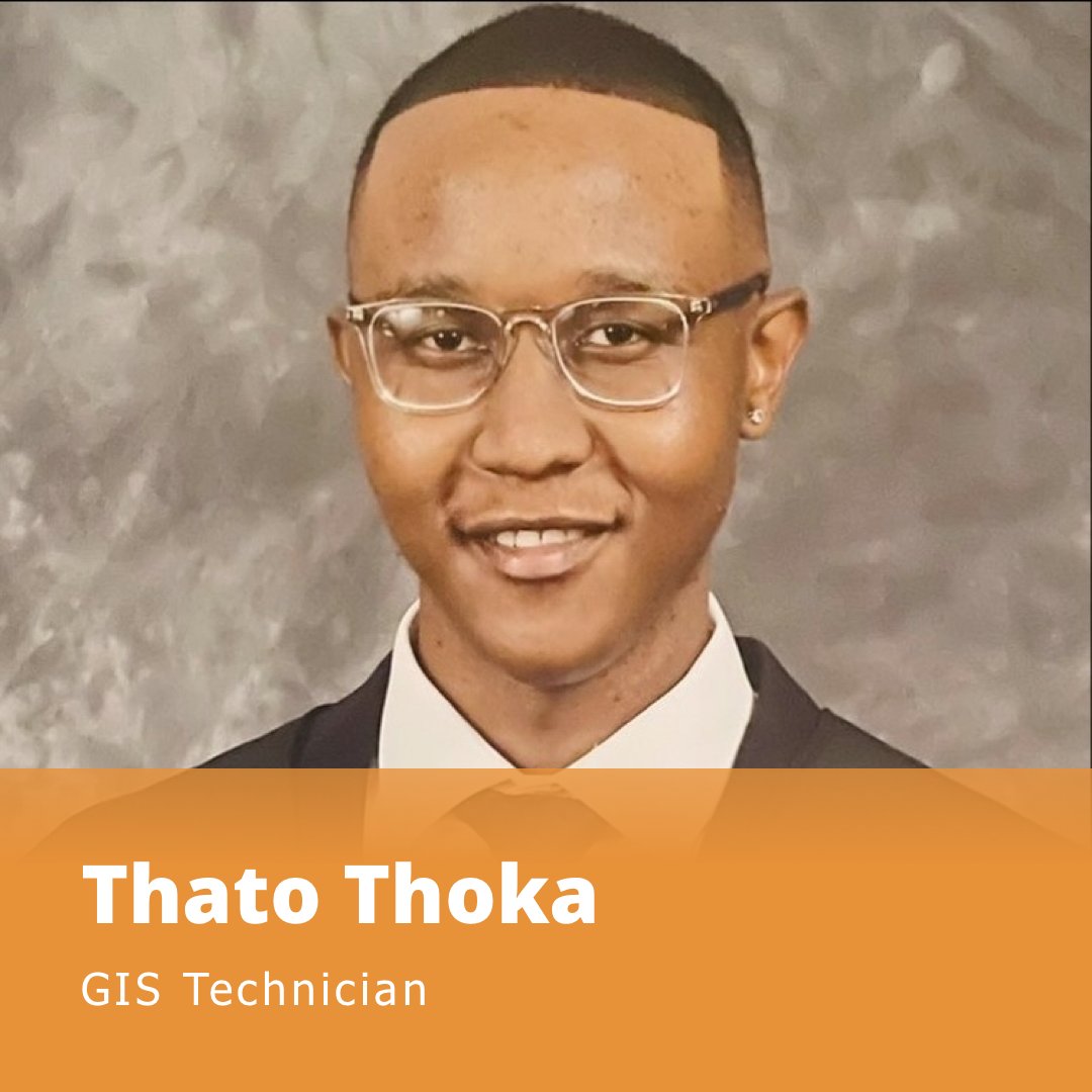
#welcome2026 As we step into the year ahead, we’re excited to welcome Thato to the core GeoSmart team!
English
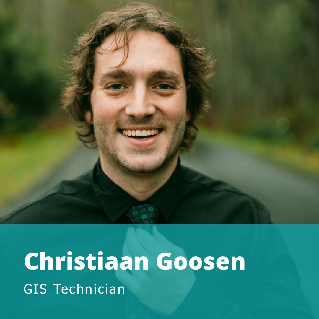
#Welcome2026 We’re kicking off the year with great #energy and are thrilled to welcome Christiaan to the core GeoSmart team.
English

What an incredible year with an amazing team 🙌
2026 is already looking brighter than ever ✨
Huge thanks to everyone who made it all possible 🎉
Wishing you a wonderful festive season 🎄
#teamworkmakesthedreamwork #hardworkpaysoff

English
🛰️ From space, Negaunee tells a story.
Rust-orange water from iron mining, scarred land, and a lone green island of forest reveal how industry reshapes Earth. And how satellites help us track the impact.
#Observing #Earth #PlanetPicture

English

📍 Geospatial data relates information to specific locations, revealing patterns and insights that help us plan, protect, and improve our world. 🌍
#SpatialData #GeoInsights

English

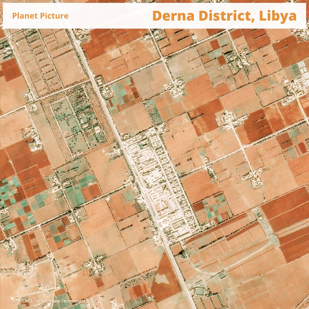
A striking view of cultivated land meeting desert terrain, where geography and human activity intersect.
Photo: Google Earth View
#picture #art #geographyfun
English
🌍 Today on #iddrr2025, we recognise the power of #data in reducing disaster risk.
GeoSmart’s GeoDataPack equips you with vital layers, from HAND & soil types to runoff, slope, and FHI, for smarter, data-driven resilience planning.
🔗 geosmart.space/market-solutio…

English