
IW Met Service

1.5K posts

IW Met Service banner
IW Met Service

IW Met Service

@iwmetservice

A local weather forecasting service covering the Isle of Wight. We have daily written updates along with detailed maps and charts.

Katılım Şubat 2013
87 Takip Edilen637 Takipçiler
IW Met Service
IW Met Service@iwmetservice·
@loki_weather Not necessarily. You first need a decent strength El Niño for any notable impacts and that's only if it manages to override other background signals. This year looks like neutral ENSO conditions to ever so slightly positive, so as a driver, it will have negligible impact.
English
0
0
1
15
Skies Of The UK
Skies Of The UK@SkiesOfTheUK·
@iwmetservice El Nino causes a build up of humidity and warm air across the Med and the Bay of Biscay. Just need one trough to pull all of it up across France into the UK
English
1
0
0
35
Skies Of The UK
Skies Of The UK@SkiesOfTheUK·
Cant wait to see stuff like this again ⚡️ Im thinking we could see a very good import year this year with El Nino presence
Skies Of The UK tweet media
English
8
5
73
13.6K
IW Met Service
IW Met Service@iwmetservice·
@GunnerMatt91 That is literally the biggest outlier! Why won't you mention this, yet when it's even barely a mild outlier you call it out as being wrong and an outlier! It doesn't make sense. Unless we get a decent Strat pattern, I just don't see the trop providing the goods.
English
1
0
0
775
IW Met Service
IW Met Service@iwmetservice·
@GunnerMatt91 @TWOweather For the NAO, High pressure over Greenland means you have a negative NAO, Polar vortex over Greenland IS a positive NAO, it isn't a sign of it, it is actually it, its just another way to describe it, so having a + or - AO or NAO means nothing more than what the synoptics show.
English
0
0
1
123
IW Met Service
IW Met Service@iwmetservice·
@GunnerMatt91 @TWOweather Im afraid you don't seem to understand what the NAO and AO really is. It isn't a driver that leads to an outcome, but rather indicative of a pattern, in other words when you have high pressure over the pole, thats a negative AO, when the PV sets up over it, thats a positive AO
English
1
0
3
184
IW Met Service
IW Met Service@iwmetservice·
@some_maps Supercell? Maybe. Tornado? No! Majority of what is showing is elevated.
English
1
0
0
90
Leo
Leo@some_maps·
An early (and uncertain) lookout for the supercell and tornado indices (<-improvised) for next week. GFS.
GIF
English
1
7
23
1.4K
IW Met Service
IW Met Service@iwmetservice·
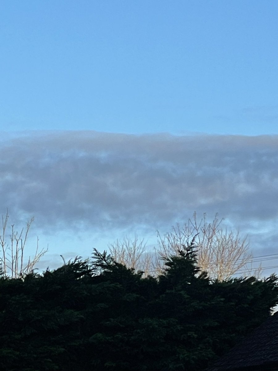
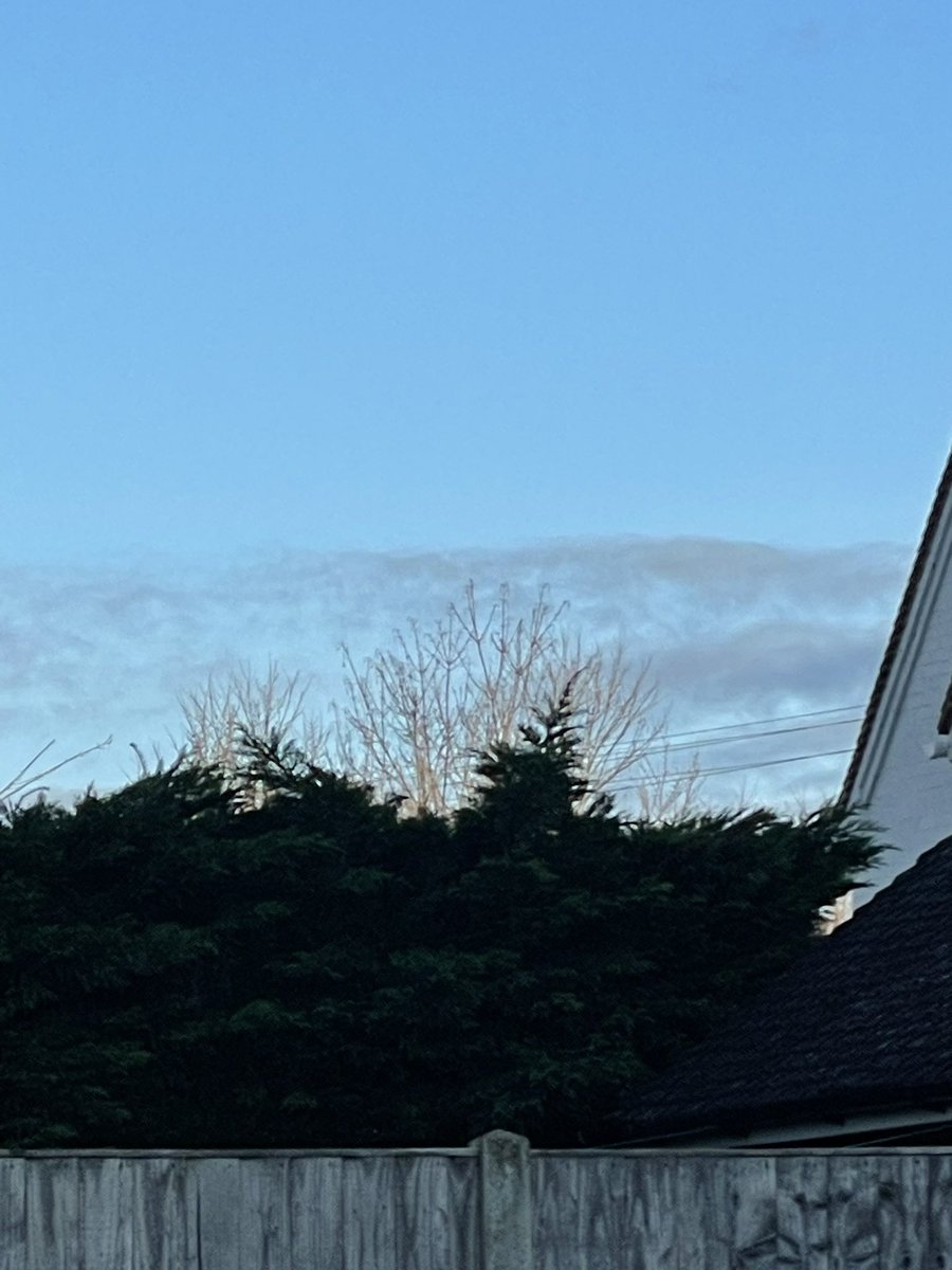
@WindsorDebs What are you seeing that isn't normal? I dont understand! I see some Stratocumulus and a bit of weak Cumulus poking through the top at sunset. I have seen this type of sky hundreds if not thousands of times in my life!
English
0
0
6
289
Debs
Debs@WindsorDebs·
Not normal and neither are you if you think it is 🤷‍♀️
Debs tweet media
English
116
29
105
14.7K
IW Met Service
IW Met Service@iwmetservice·
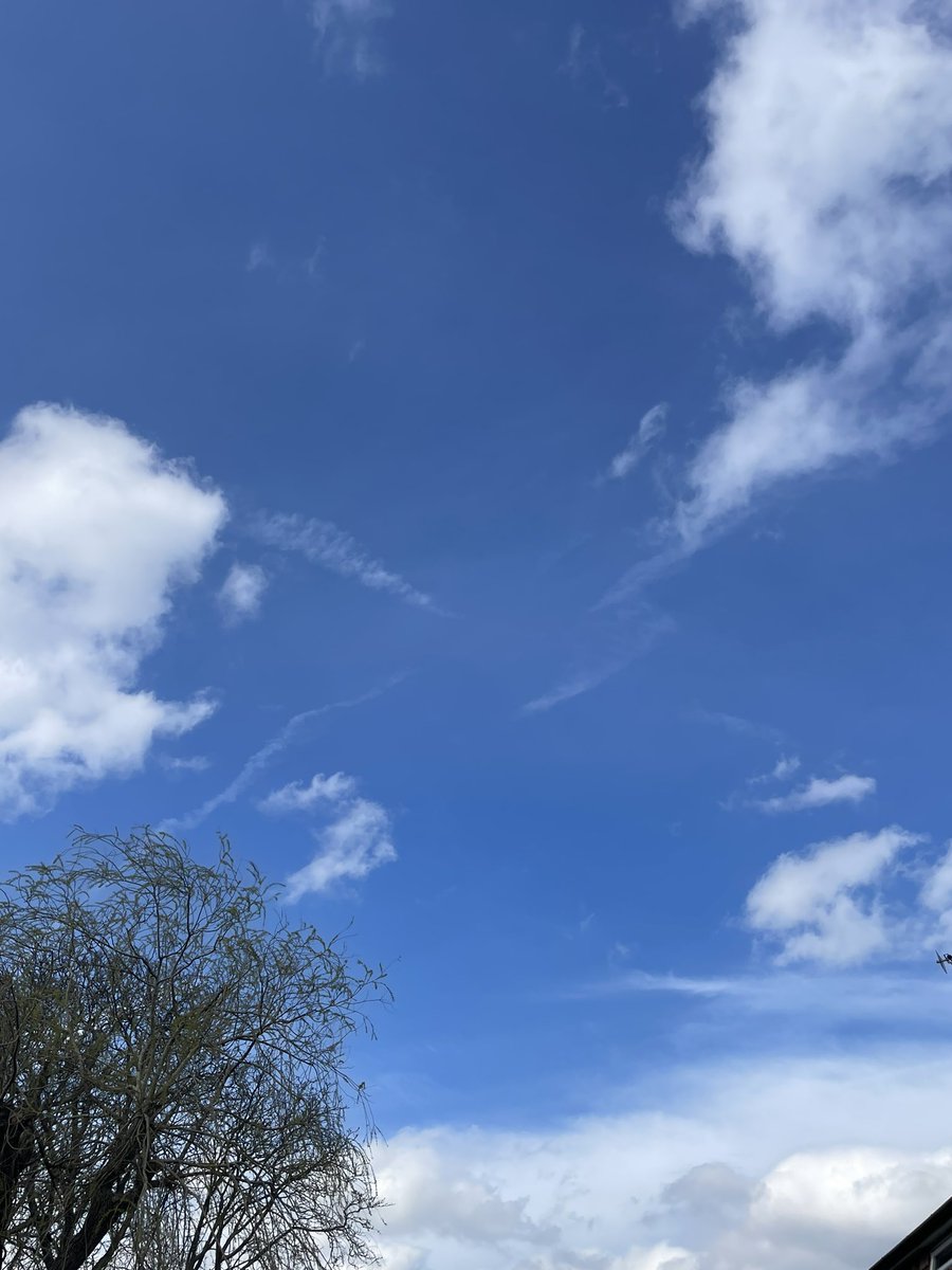
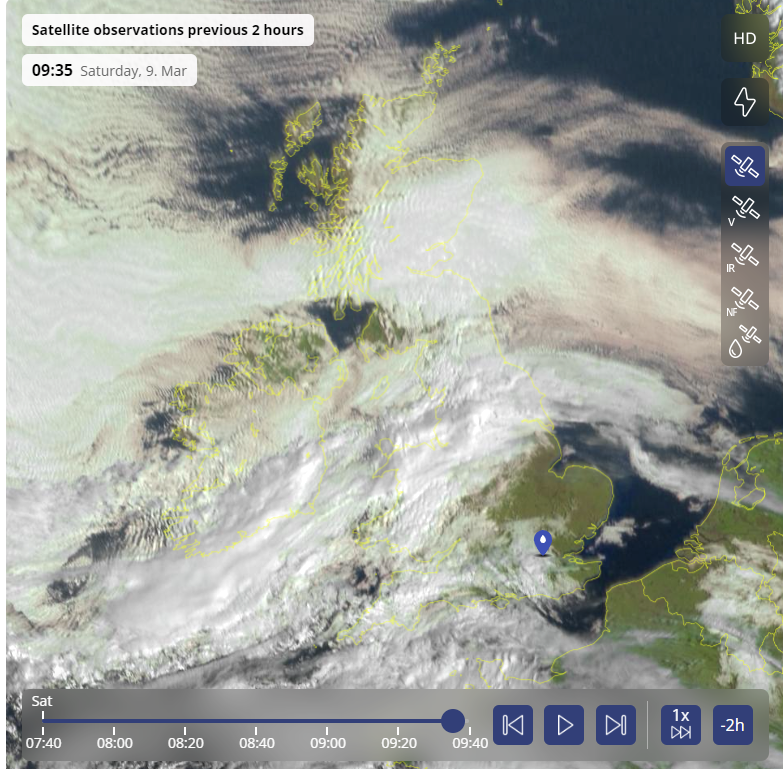
@WindsorDebs @metoffice @DefraUKAir @GOVUK After looking more closely I can see the clouds are moving away from you to the NW and evaporating too. These look to be about 5000ft and moving around 25-35mph, so that speed at that height would show slow movement due to distance from surface. You can see that here very well.
IW Met Service tweet media
English
1
0
0
61
Debs
Debs@WindsorDebs·
@iwmetservice @metoffice @DefraUKAir @GOVUK These man made clouds don’t move though. They appear and evaporate. These photos from start to finish this morning took 4 minutes. No movement. They just evaporated into the atmosphere 🤷‍♀️
Debs tweet mediaDebs tweet mediaDebs tweet mediaDebs tweet media
English
2
0
0
255
IW Met Service
IW Met Service@iwmetservice·
@WindsorDebs @metoffice @DefraUKAir @GOVUK This morning the airflow was slow moving over your area (at that cloud height) cloud can develop and evaporate on the spot, it all depends how much lift there is. It isn't very often clouds dont move though, usually happens during settled weather (high pressure).
English
0
0
0
42
IW Met Service
IW Met Service@iwmetservice·
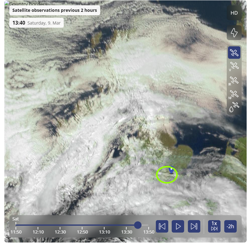
@WindsorDebs @metoffice @DefraUKAir @GOVUK Lets try this way, the sun is currently in the south-southwest, the cloud is coming from the south, covering the sun with clearer sky to the northwest to northeast which is clearly where your blue sky is/was. You can see it very well on the satellite image. Green= your location.
IW Met Service tweet media
English
0
0
0
20
IW Met Service
IW Met Service@iwmetservice·
@WindsorDebs @metoffice @DefraUKAir @GOVUK Just looking at some of your tweets, it seems you dont quite understand a few things. The height that these planes are at (30,000ft or higher) the wind is often over 200mph so by the time the "spray" reaches the level the cloud is forming, it would be over Norway!
English
0
0
1
45
IW Met Service
IW Met Service@iwmetservice·
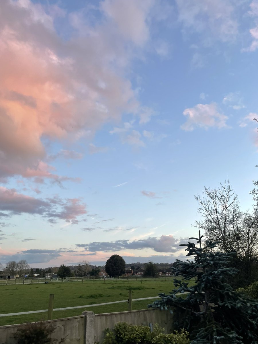
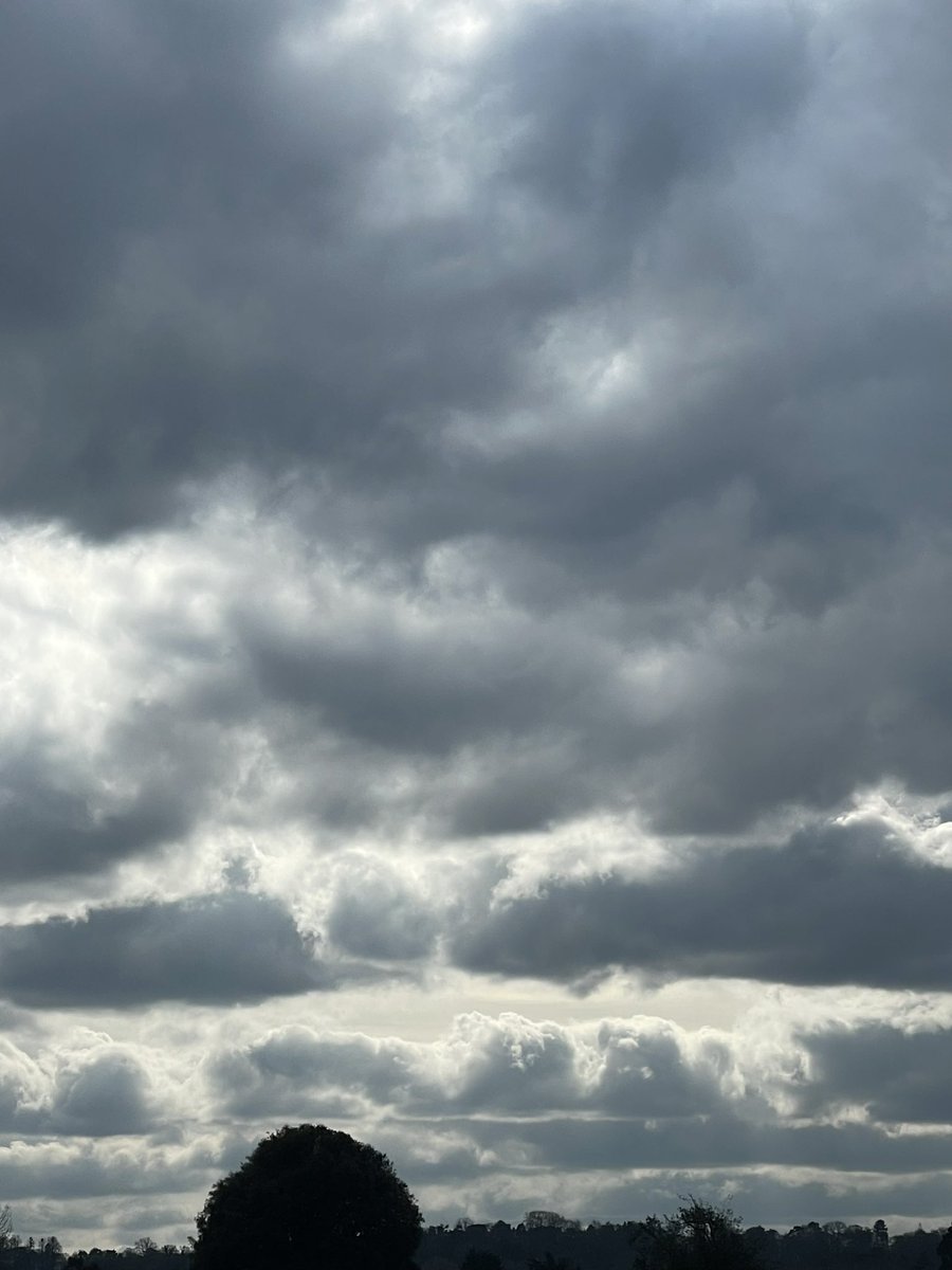
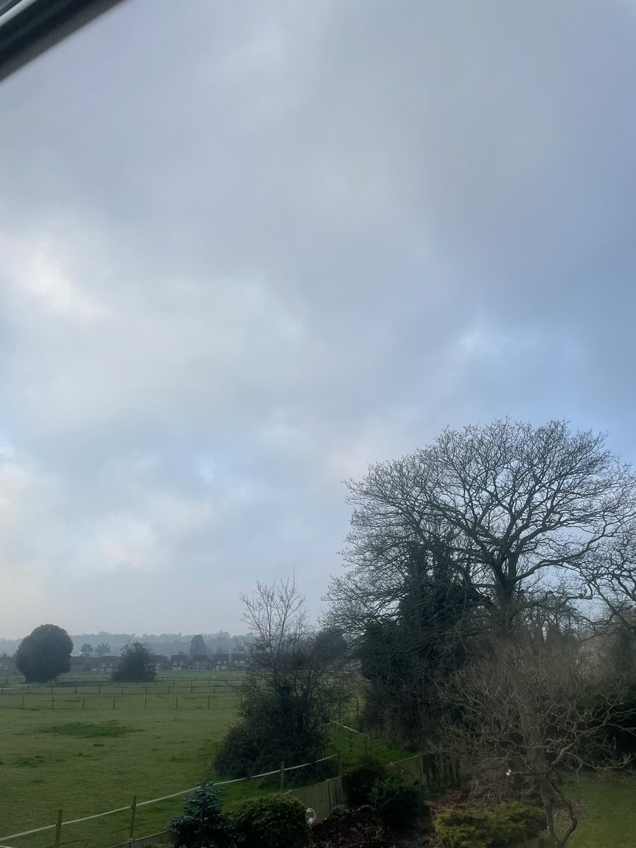
@WindsorDebs @metoffice @GOVUK These are Stratocumulus, I dont understand the fear you have of them? They wont do much. This lot is spreading up from the South due to the Low pressure area to the Southwest. They will probably start to develop little towers and "bubbles" on later as they become more unstable.
IW Met Service tweet media
English
4
0
4
248
IW Met Service
IW Met Service@iwmetservice·
@WindsorDebs They are over the sun from your position, but a mile up the road they wont be, this is just perspective. The same thing happens when you look out the window of a moving vehicle, the closest building move past fast, the more distant much slower.
English
1
0
2
410
Debs
Debs@WindsorDebs·
Game over folks! Sun totally obliterated. Those man made clouds are right over the sun. Nowhere else. Just blocking the sun! Spraying going on up above. It only stops when you acknowledge it’s happening 🤷‍♀️#chemtrails #HAARP
English
98
249
566
22.4K
IW Met Service
IW Met Service@iwmetservice·
@WindsorDebs Ahh yes, low level moisture. This is the result of fairly cold, stable but rather moist air. It happens a heck of a lot in winter (some more than others), sometimes gets thick enough for drizzle, but usually just makes it grey and depressing. 😑
English
1
0
1
186
Debs
Debs@WindsorDebs·
Another complete white out. It’s kind of iridescent. Day after day it’s not natural. Will this continue through the summer? Will people then take notice 🤔 #GeoEngineering
Debs tweet media
English
114
115
369
14.5K
IW Met Service
IW Met Service@iwmetservice·
@GhostofGoose2 @WindsorDebs Stuff? What stuff? I see clouds that are the result of moisture and a little surface heating. Is that what you are referring to? Other than that I see nothing.
English
0
0
0
11
IW Met Service
IW Met Service@iwmetservice·
@Handry_Outlook The only other places that might see sleet would be in the far East and Southeast of the island with a slightly longer sea fetch, but a mile or two inland it would be the same temps as mainland.
English
0
0
2
71
Handry Outlook- UK Weather Forecast
@iwmetservice Temperature is slightly higher across IOW as it is surrounded might slightly warmer sea water, which might reduce the risk of snow, but wintry precipitation is still possible across IOW.
English
3
0
2
385
Handry Outlook- UK Weather Forecast
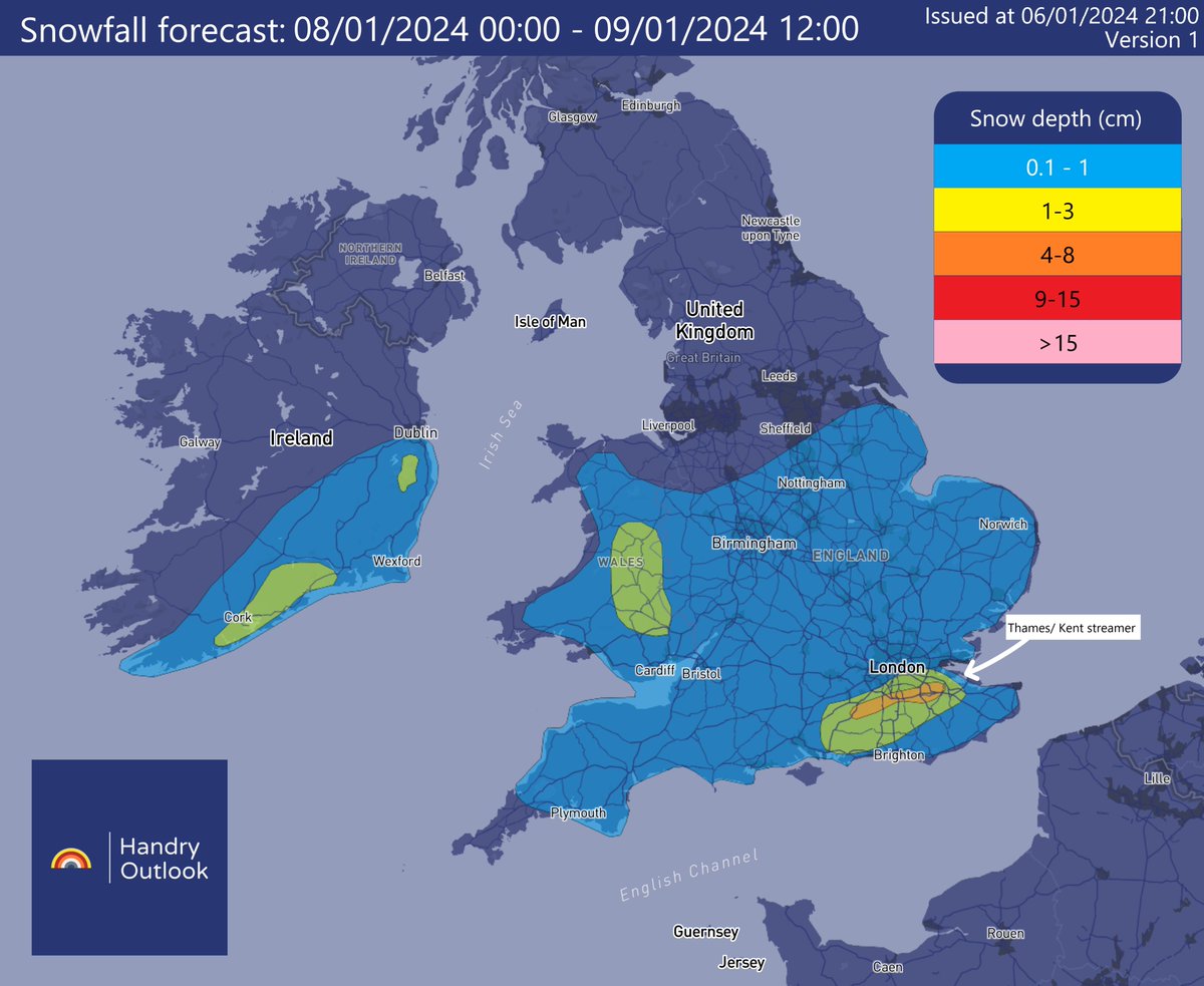
Wintry showers are likely to develop across many parts of England, Wales as well as southern parts of Ireland during Monday - Tuesday. A Thames/Kent streamer is likely to develop late Monday, bringing accumulation in places. The graphic will be likely to be updated tomorrow.
Handry Outlook- UK Weather Forecast tweet media
English
7
10
47
17.2K