Jason McClellan

578 posts

Jason McClellan banner
Jason McClellan

Jason McClellan

@jk_mcclellan

Member of the Web and Comms team at @NASAEarthData My strange alter ego is at @acecentric

Tempe, AZ Katılım Temmuz 2019
166 Takip Edilen100 Takipçiler
Jason McClellan retweetledi
NASA Science
NASA Science@NASAScience_·
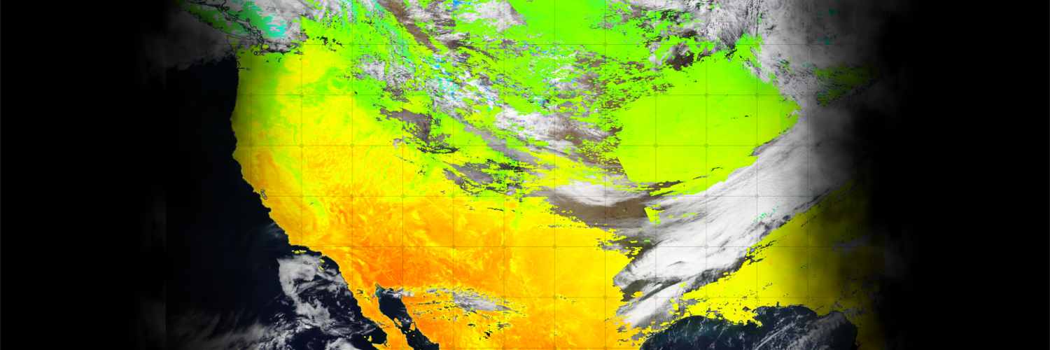
This week's #Worldview Image: Typhoon Ragasa in Yangjiang, China. This image was captured by the VIIRS instrument aboard the joint @NASA/@NOAA NOAA-21 platform. Learn more + interact with the image: go.nasa.gov/46oFWQp
NASA Science tweet media
English
6
31
125
12.4K
Jason McClellan retweetledi
NASA Science
NASA Science@NASAScience_·
Join #NASAScience’s Dr. Nicky Fox and mission experts this Wednesday, Sept. 10 at 11am ET to hear an update on the analysis of a Martian rock sample collected by the Perseverance rover in July 2024, nicknamed “Sapphire Canyon.” 🔗 go.nasa.gov/4pgcUJX
GIF
English
9
50
259
17.6K
Jason McClellan retweetledi
NASA Science
NASA Science@NASAScience_·
Need to plot Earth science data with ease? NASA Earthdata's new tutorial shows how to combine Giovanni + Panoply to generate line plot cross-sections from satellite datasets. Explore the guide: go.nasa.gov/4lU98TJ
GIF
English
11
53
157
10.5K
Jason McClellan retweetledi
NASA Science
NASA Science@NASAScience_·
🗓️ Aug. 21: Learn how to use Python & Xarray to access @NASA's virtualized, analysis-ready ocean datasets. Register: go.nasa.gov/4oK6imZ
NASA Science tweet media
English
4
29
110
8K
Jason McClellan retweetledi
NASA Science
NASA Science@NASAScience_·
What if we could forecast the Sun’s activity with AI? Meet Surya, @NASA's latest AI model trained on 9 years of solar data to predict solar flares, wind, and irradiance with incredible precision: go.nasa.gov/41fPw55
GIF
English
42
123
491
23.1K
Jason McClellan retweetledi
NASAEarthdata
NASAEarthdata@NASAEarthData·
NASA’s new ICESat-2 bathymetric dataset uses laser altimetry to map shallow coastal zones—previously data-sparse regions. Learn more at earthdata.nasa.gov/news/new-globa…
NASAEarthdata tweet media
English
0
5
15
1.1K
Jason McClellan retweetledi
NASAEarthdata
NASAEarthdata@NASAEarthData·
🌏 Worldview Image of the Week 🌍 The VIIRS instrument captured Icebergs A23A and A23C below South Georgia Island, Antarctica, on May 3. View before-and-after imagery to see A23C break from A23A at earthdata.nasa.gov/news/worldview…
NASAEarthdata tweet media
English
0
3
12
961
Jason McClellan retweetledi
NASAEarthdata
NASAEarthdata@NASAEarthData·
If you want to access all of NASA's Earth science data, your first step is to obtain an Earthdata login. Watch this video to learn how easy it is to get started. youtu.be/8Ji1XfKZ78c?si…
YouTube video
YouTube
English
0
12
38
2.3K
Jason McClellan retweetledi
NASAEarthdata
NASAEarthdata@NASAEarthData·
Looking to stay up to date with the latest NASA Earth science data news, products, webinars, and more? If you're not already, consider subscribing to our free monthly newsletter - earthdata.nasa.gov/subscribe
NASAEarthdata tweet media
English
0
7
23
1.2K
Jason McClellan retweetledi
NASAEarthdata
NASAEarthdata@NASAEarthData·
🌎 Worldview Image of the Week 📸 The VIIRS instrument aboard the Suomi NPP platform captured this image, which shows heavy rains and snow over Central Europe. See more and interact with the image at earthdata.nasa.gov/news/worldview…
NASAEarthdata tweet media
English
0
4
13
734
Jason McClellan retweetledi
NASAEarthdata
NASAEarthdata@NASAEarthData·
The GLIMS Glacier Database offers detailed satellite data on 200,000+ glaciers, providing key insights into global and regional climate trends, hazard risk detection, sea level rise, freshwater resources, and ecosystem health and stability. Learn more at earthdata.nasa.gov/news/feature-a…
NASAEarthdata tweet media
English
0
7
14
1.3K
Jason McClellan retweetledi
NASAEarthdata
NASAEarthdata@NASAEarthData·
🌎 Worldview Image of the Week 🌎 Flooded rivers and landscapes across the Midwest and Southeastern U.S. captured by the MODIS instrument aboard the Terra platform. Get more details and interact with this week's image at earthdata.nasa.gov/news/worldview… #flooding #EarthScience
NASAEarthdata tweet media
English
1
8
24
1.2K
Jason McClellan retweetledi
NASAEarthdata
NASAEarthdata@NASAEarthData·
NASA's #LAADSDAAC continues to provide critical Level-1 data from NOAA-21 VIIRS. Check out the latest updates to NOAA-21 VIIRS Level-1 geolocation and calibrated radiance data products. go.nasa.gov/4ieS0Gu
NASAEarthdata tweet media
English
1
5
23
876
Jason McClellan retweetledi
NASAEarthdata
NASAEarthdata@NASAEarthData·
Would you like to learn how to use NASA’s Worldview satellite imagery mapping tool to support your scientific work through an easy-to-access satellite imagery archive? Join us Wed., April 16, at 2 p.m. EDT (-04:00 UTC) to learn how. Get more info and register at go.nasa.gov/4jiCMkR
NASAEarthdata tweet media
English
0
13
44
1.9K
Jason McClellan retweetledi
NASAEarthdata
NASAEarthdata@NASAEarthData·
New Data Alert! 🛰️ VIIRS BRDF/Albedo Version 2 Products are now available in the Application for Extracting and Exploring Analysis Ready Samples #AppEEARS. Visit the Data Alert released by NASA’s #LPDAAC to learn more: earthdata.nasa.gov/data/alerts-ou…
NASAEarthdata tweet media
English
0
6
7
744