Sabitlenmiş Tweet
Mapillary
4.7K posts


Mapillary
@mapillary
Mapillary, a Meta company, is the street-level imagery platform that scales and automates mapping using collaboration, cameras, and computer vision.
Katılım Ağustos 2013
489 Takip Edilen11K Takipçiler

#EsriUC2026 : Creating a more intelligent world 🌎
Wishing everyone a fantastic and inspiring week at ESRI UC26!!
Access 3billion Mapillary images now live in the ArcGIS Living Atlas! 🤝
👉 Explore the new layer here: esri.com/arcgis-blog/pr…
#Mapillary #gis #esri #arcgis

English
Mapillary Top 20 Contributors : June 2026🌎
Huge thanks to our Top 20 Contributors for June 2026 for braving the summer sun to map the world. 🌎📸
The Camera Grant 2026 program is also still live! Apply here: forms.gle/n5By4zLS1iPJes…
#Mapillary #GIS #Geospatial

English
Mapillary API Update: Start getting your steps in with our new on_foot addition! 🚶♂️
Filter pedestrian pathways with ~90% accuracy. Instantly isolate sidewalk/trail data. Live in the API & web app!
Try it today : 👉 forum.mapillary.com/t/new-image-fi…

English
🌍 Mapillary is officially available in the Esri ArcGIS Living Atlas!
You can now access over 3 billion street-level images directly inside your ArcGIS workflows.
Start integrating it into your projects today: esri.com/arcgis-blog/pr…
#Mapillary #Esri #ArcGIS #LivingAtlas


English
Announcing Mapillary Camera Grant Program 3.0!🌎
Better maps are built together, so we’re supporting our community with the gear to capture high quality 8K 360° imagery
Apply to receive a GoPro MAX 2 bundle & put your city on the map: blog.mapillary.com/update/2026/06…
#Mapillary #GIS

English
The Latest of Mapillary Community Forum is now live on Mapillary.com
• Catch up on global discussions
• Discover unique street-level captures
• Track open data contributions
Check it out: Mapillary.com
#Mapillary #GIS #Geospatial

English
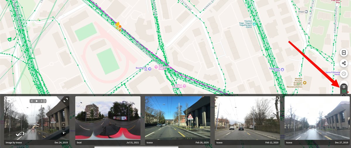
Mapillary Update: Captures Nearby 📍
Powered by our radius API, a new counter on mapillary.com opens a carousel of surrounding imagery.
Easily find alternative views, track historical changes & discover new coverage.
Try: mapillary.com/app
English
Mapillary: May Top 20 Contributors 🌎
A big thanks to our community for turning global roads green this May! 🗺️
Check out our top 20 contributors!
Ready for June’s World Cup tours? ⚽️ Get out and map!
#GIS #Mapillary #StreetImagery

English
Mapillary API Update : Radius Search 📍 🕛
We are excited to share that you can now instantly search for images near any geographic coordinate using latitude, longitude, and a radius, complete with smart filtering
Give it a try: #image-radius-search" target="_blank" rel="nofollow noopener">mapillary.com/developer/api-…
#Mapillary #Developers
English
Faster, Smarter, Better: Mapillary Uploader 5.1.1 is here! 💻
We’ve optimized the upload process to save power users critical time. Plus, enjoy enhanced camera compatibility with mapillary_tools v0.14.6 and bug fixes.
#Mapillary #GIS #Geospatial

English
🌍 Mapillary Blog: Giving AI a Sense of Place with @zephrxyz 📍
Using @mapillary imagery + @OvertureMaps data to cut POI position error by 67% and ground AI in a real sense of place.
Read here: blog.mapillary.com/update/2026/05…
#SpatialAI #Mapillary #OvertureMaps
GIF
English
Community Spotlight: Mapping the unmapped in Uganda 🌍
Using the Mapillary app, Joseph is capturing vital street-level imagery, bringing remote regions onto the global map.
See Joseph's contributions here: mapillary.com/app/user/jozef…
Download Mapillary (iOS/Android)!
#GIS

English
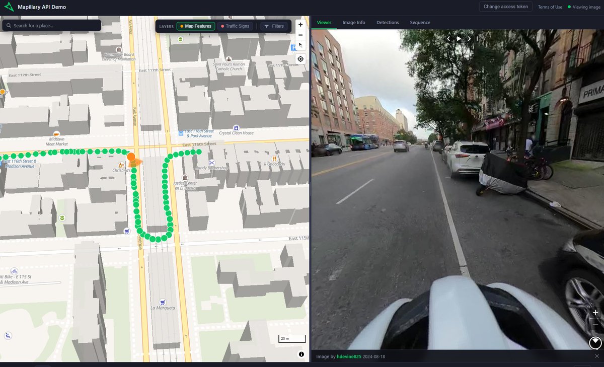
Introducing the Mapillary API Demo! 🌐
An interactive web app to test our API’s capabilities. Source code included.
Blog: blog.mapillary.com/update/2026/04…
GitHub: github.com/mapillary/api-…
#Mapillary #GIS #OpenSource #Geospatial

English
Mapillary Update - MUTCD Codes are Live on the Mapillary API
We're excited to share that you can now extract traffic sign data from Mapillary’s street-level imagery using official MUTCD through our API.
Get started : mapillary.com/developer/api-…
#Mapillary #GIS #DOT #MUTCD

English
🌍 Mapillary March: Top Mappers 🏅
Congrats to this month's top contributors!
From veterans to newcomers, your imagery supports maps around the world.
Amazing work to our community!
Happy Mapping! 📸
#GIS #Mapillary #Geospatial #OSM #Maps

English
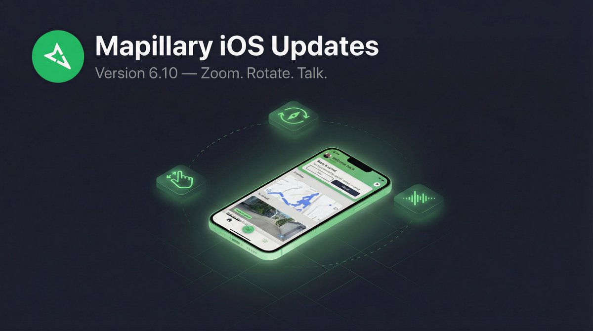
Zoom, Rotate, and Talk: What’s New in Mapillary for iOS 6.10 📱
We’ve added new tools to give you more control and a safer capture experience:
📍 Pinch to Zoom
🤏 Two Finger Rotation
🗣️ Siri Integration
Read the blog today!
blog.mapillary.com/update/2026/04…
English
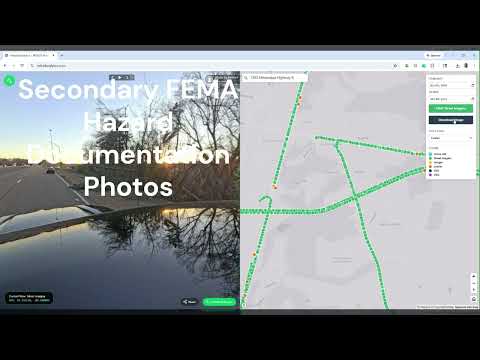
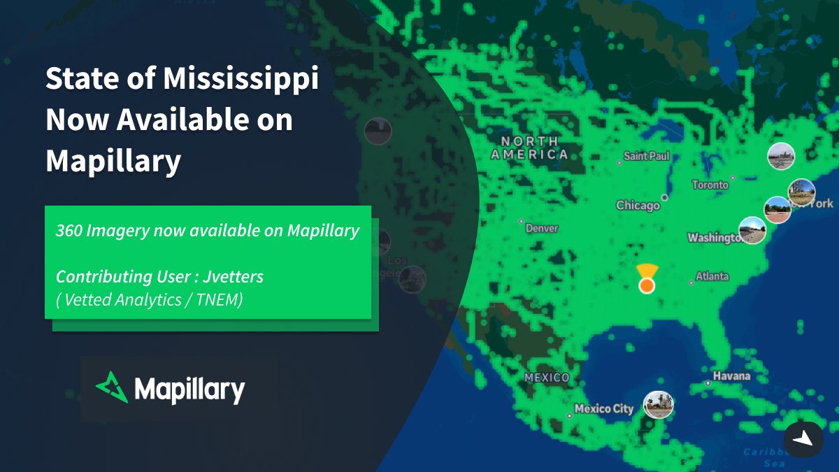
1.5M images. 4 vehicles. 1 mission. 🛣️
Check out our latest Spotlight: Josh Vetters & Vetted Analytics - @mapillary + @GoPro to secure FEMA funding for MS & TN DOTs.
Providing a "driver’s eye view" for disaster recovery.
Watch: youtube.com/watch?v=h6YMLm…
#GIS #Mapillary #FEMA
YouTube
English
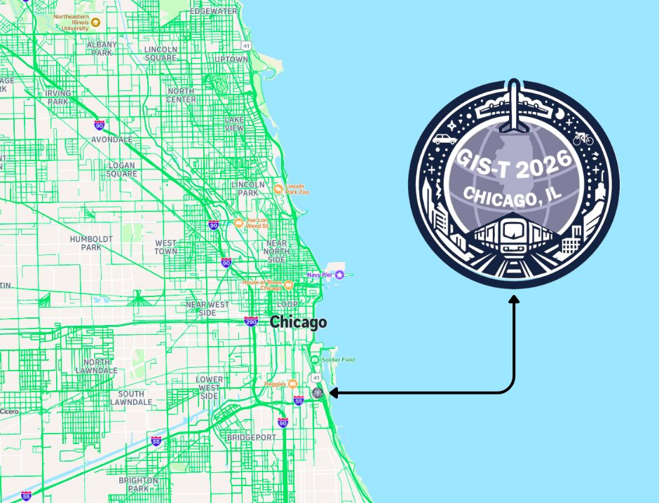
Next stop: Chicago!
The Mapillary team is headed to #GIST2026.
We’re ready to talk all things street-level imagery and transport innovation. Stop by our booth to see how we’re scaling GIS workflows with the community.
See you there! 🌎
#GIST2026 #Mapillary #GIS #Chicago
English
But that's just the start. Here's what's new:
📷 Pinch-to-zoom on camera:
🔍 Zoom & pan on captured images
🧭 Map rotation
🗣️ Siri & Shortcuts integration
Whether you're mapping by car or bike, this update makes capturing street-level imagery on iOS easier than ever.
GIF
English