MARACOOS
1.3K posts

MARACOOS
@maracoos
The Mid-Atlantic Regional Association Coastal Ocean Observing System, part of the @usioosgov system, powers understanding and prediction of the ocean and coasts
Mid-Atlantic Bight Katılım Haziran 2011
436 Takip Edilen761 Takipçiler
Did you know that the lower part of the Hudson River is a tidal estuary that runs from the New York Harbor 153 miles north to Troy, NY? Learn how estuaries form this #TerminologyTuesday
English
Happy #WorldWildlife Day! Did you know that when environmental data is turned into practical tools it can support efforts to protect the endangered species, like the Atlantic Sturgeon? #oceandata #oceanobserving
maracoos.org/2025/05/22/pro…
English
Working with neighboring IOOS Regional Associations: SECOORA and NERACOOS, MARACOOS, engages stakeholders to ensure BioTracks data products are practical, accessible, and valuable for decision-making in conservation, fisheries, and ocean management.
youtube.com/watch?v=39pzn1…
YouTube
English
As Winter Storm Hernando continues to impact the mid-Atlantic and Northeast, here is a look at near-real-time wave height and wind speed predictions from MARACOOS' OceansMap through February 24 2400. @NWS
#WeatherReady #OceanData #CoastalData #IOOS #StormHernando #NWS
English
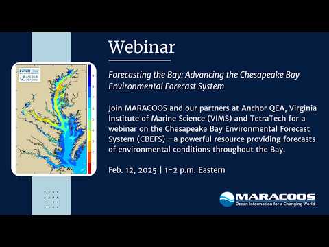
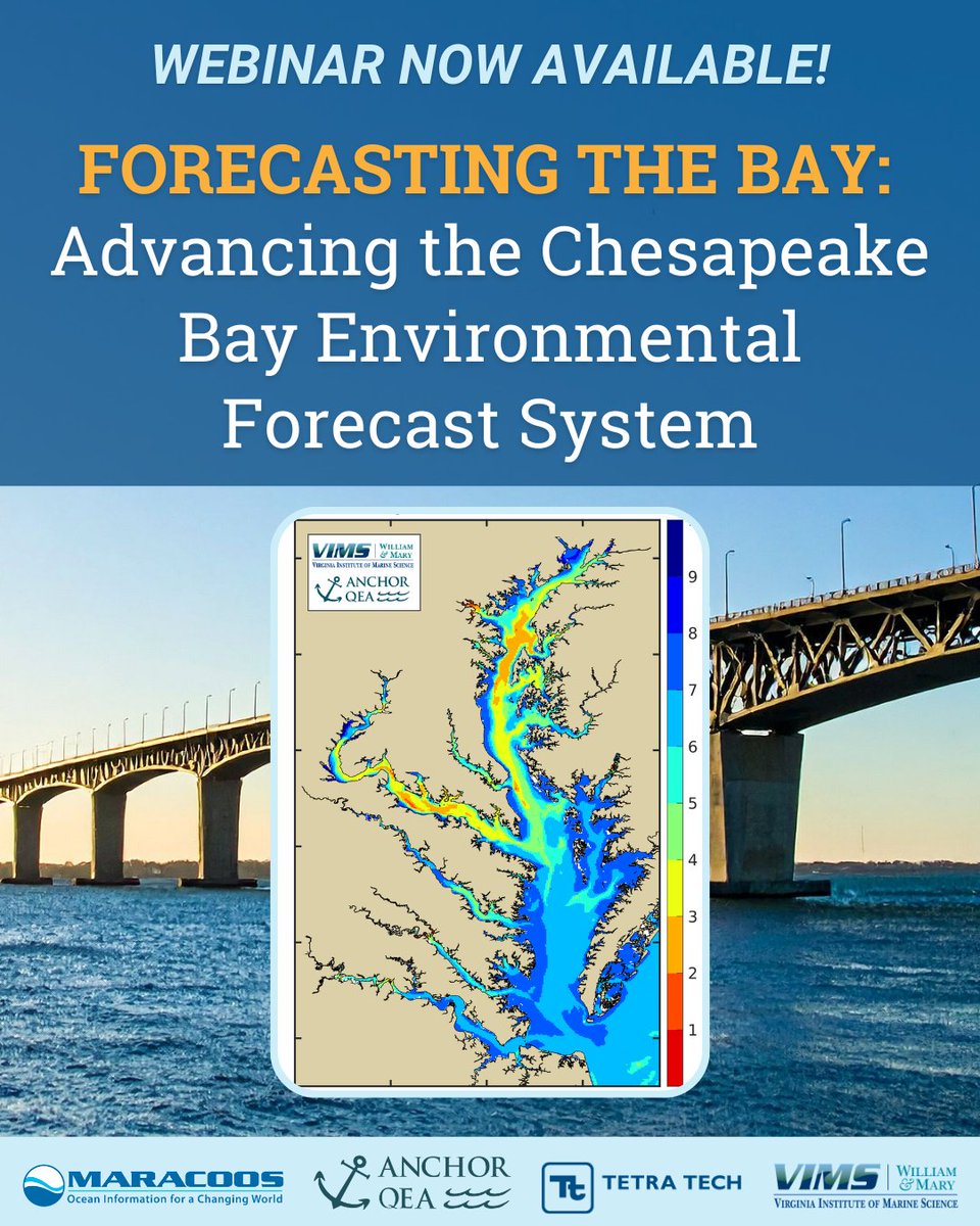
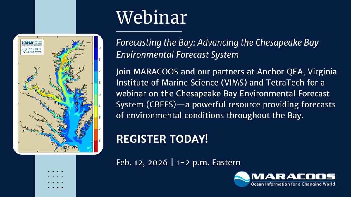
#FeatureFriday Missed our webinar on Forecasting the Bay: Advancing the Chesapeake Bay Environmental Forecast System (CBEFS) last week?
Stay current (pun intended😉 🌊 ) by viewing the webinar made with @anchorqea, @VIMS_News, and @tetratech!
youtube.com/watch?v=mSahek…
YouTube
English
From near-real-time ocean data to webinars and workshops to coastal insights, the MARACOOS newsletter keeps you connected to what matters in the Mid-Atlantic.
📩 Subscribe today: maracoos.org/get-our-newsle…
--
#OceanObserving | #IOOS | #MARACOOSUpdates

English
Reminder! Join us on Zoom Feb. 12 (1–2 p.m. ET) for a webinar on the Chesapeake Bay Environmental Forecast System (CBEFS)—a tool delivering forecasts for oxygen, salinity, HABs, pathogens & more.
🔗 Register: us02web.zoom.us/webinar/regist…

English
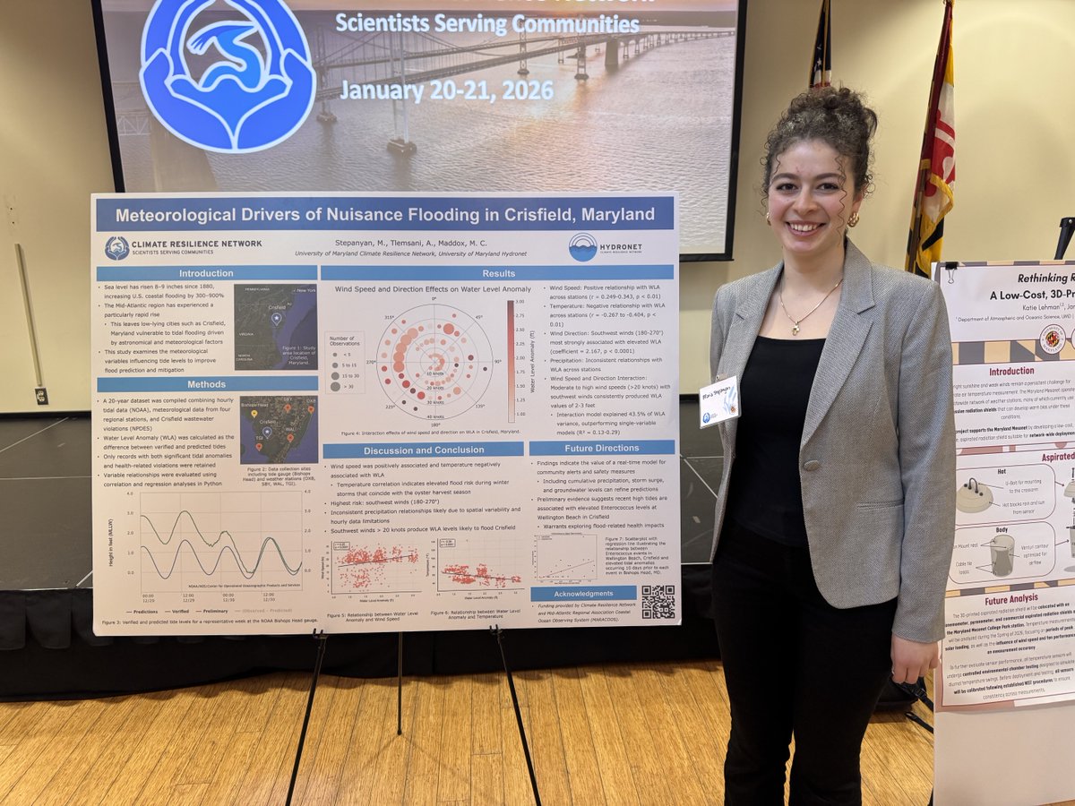
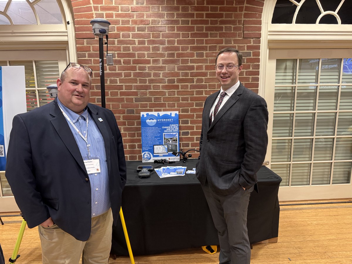
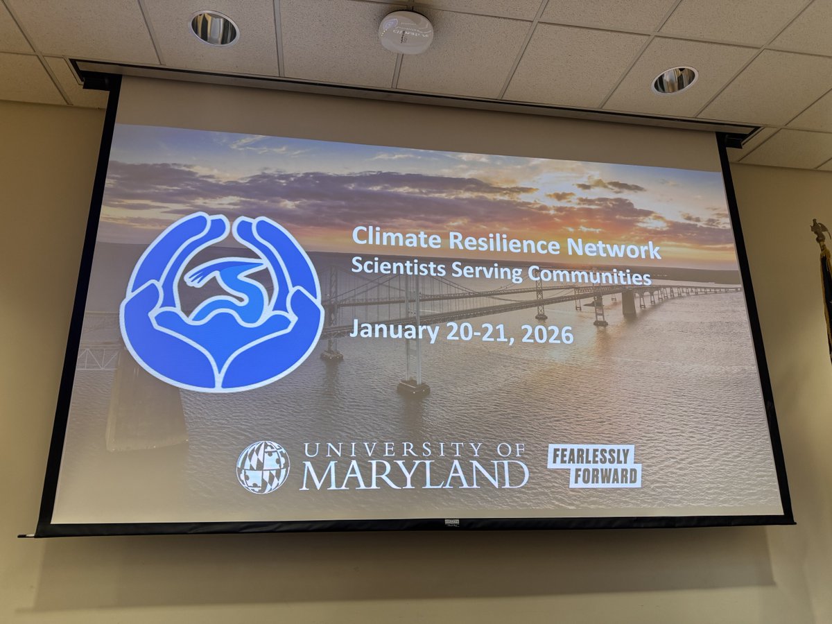
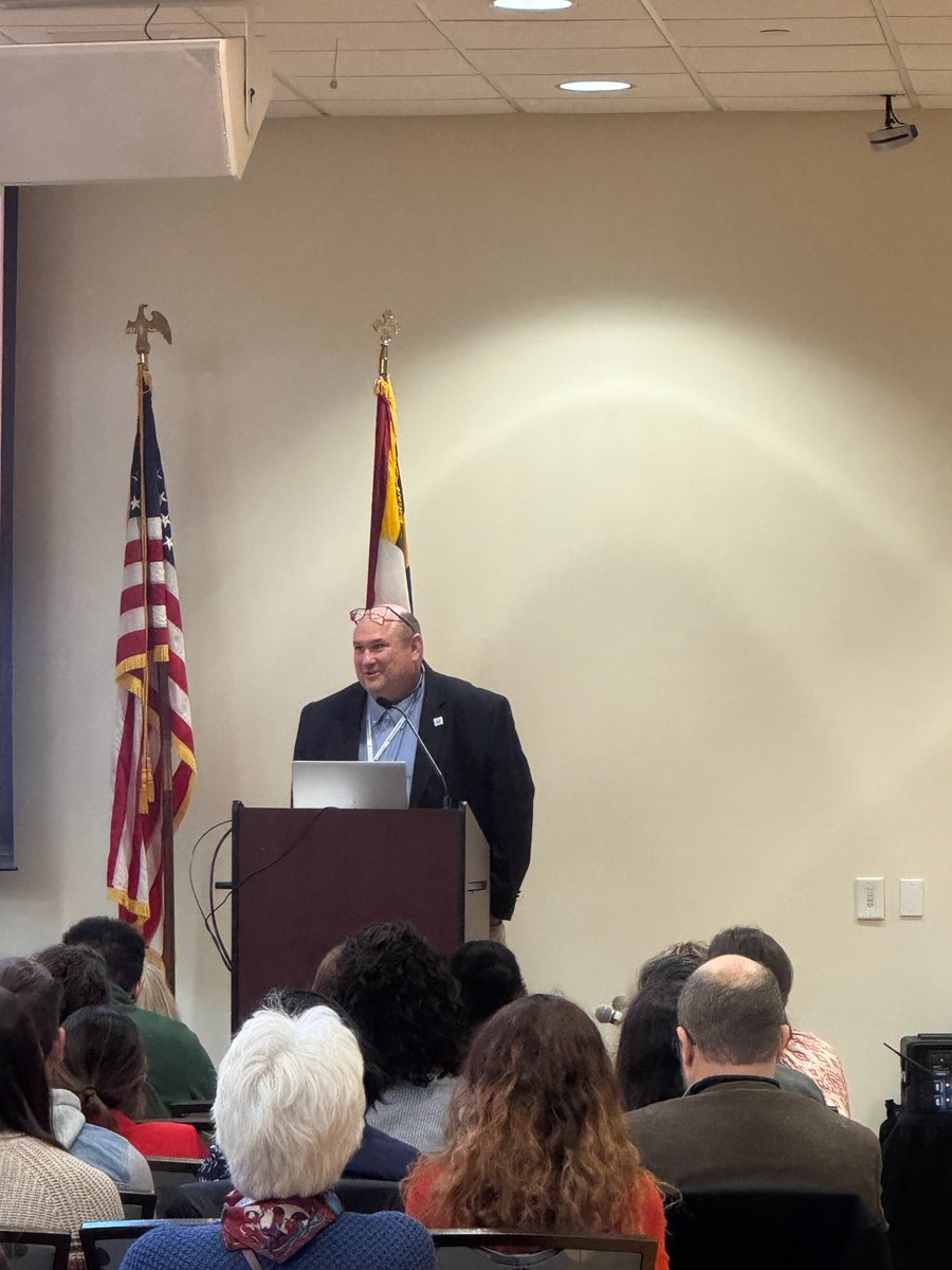
Recently, the Climate Resilience Network held the annual Scientists Serving Communities workshop at the @UofMaryland. We left feeling empowered by various community stakeholders sharing their research, community needs, and collaborative opportunities.

English
🌊 Join us on Zoom Feb. 12 (1–2 p.m. ET) for a webinar on the Chesapeake Bay Environmental Forecast System (CBEFS)—a tool delivering forecasts for oxygen, salinity, HABs, pathogens & more.
🔗 Register: us02web.zoom.us/webinar/regist…
English
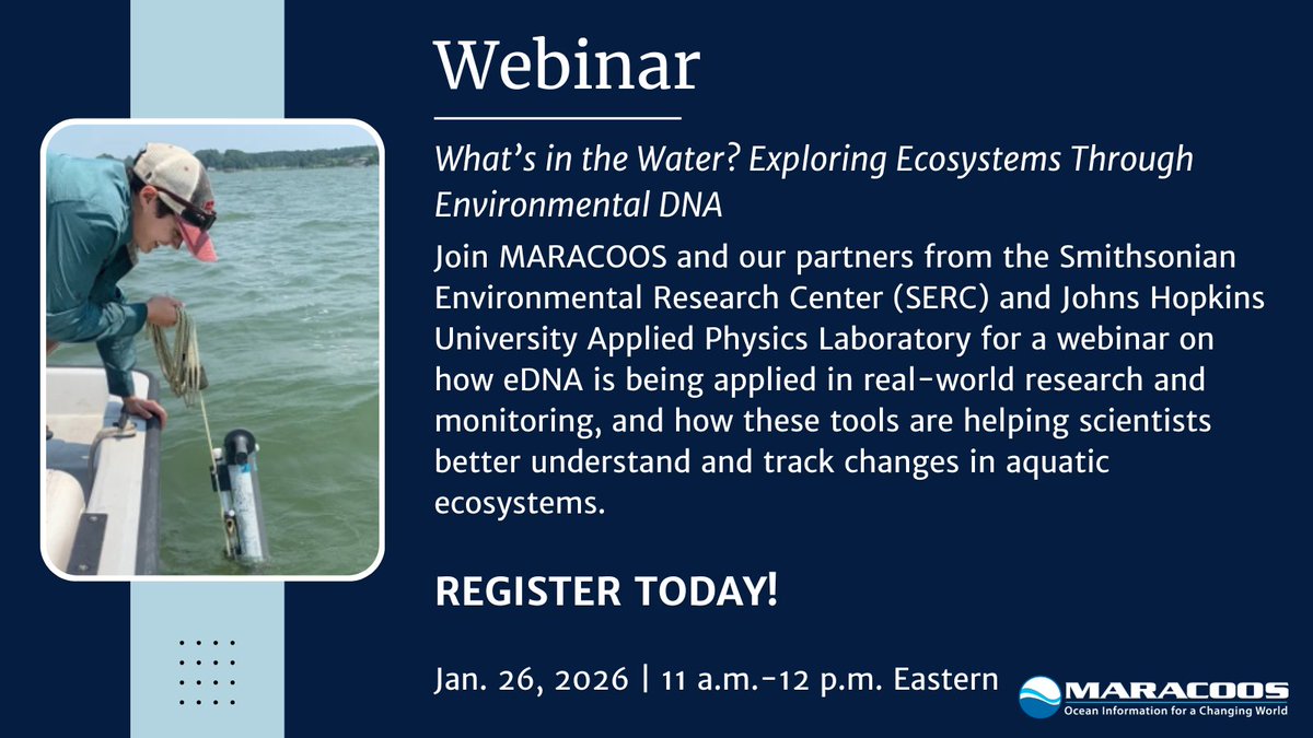
Webinar reminder! 📅 Jan. 26 | 11–12 PM ET
Join this webinar to learn how environmental DNA (eDNA) is being used to study aquatic ecosystems.
🔗 Register: us02web.zoom.us/webinar/regist…
English
What can a water sample tell us about fish, habitats, and biodiversity? A lot.
📅 Jan. 26 | 11–12 PM ET
Join this webinar to learn how environmental DNA (eDNA) is being used to study aquatic ecosystems.
🔗 Register: us02web.zoom.us/webinar/regist…

English
The 2025 MTS ROV Photo Challenge finalists are here!
128 submissions. Global participation: flickr.com/photos/matecen…
English
From all of us at MARACOOS, we wish you a joyful holiday season & a bright start to the new year. We look forward to continuing our work together in 2026 as we power understanding and prediction across the ocean, coasts, and estuaries of the Mid-Atlantic. maracoos.org

English
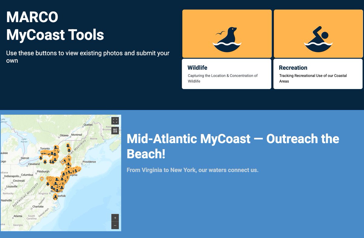
#FeatureFriday: MARCO + MyCoast.org are teaming up to collect recreation + wildlife observations across the Mid-Atlantic.
Your photos + reports help shape future coastal planning and feed into the 2027 Ocean Data Portal updates. Submit here ➜ mycoast.org/marco
English
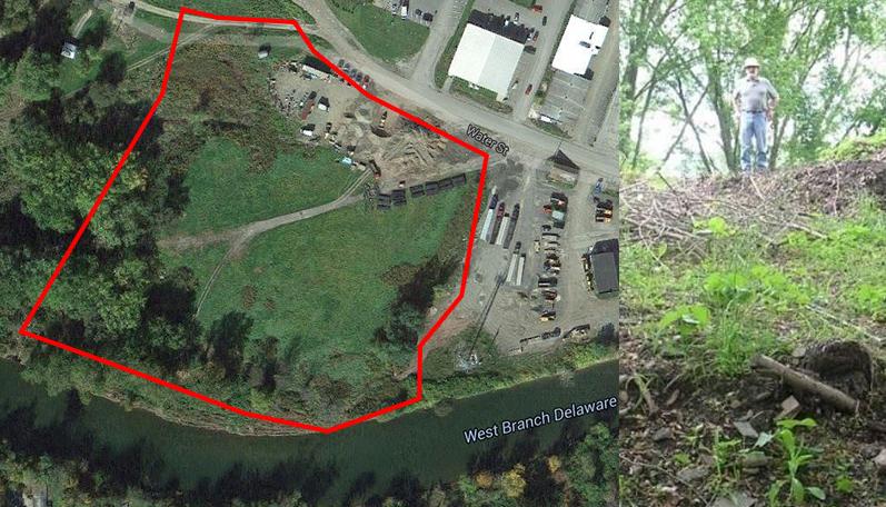
Floods are costly, but smart planning pays off. Walton, NY is reducing flood impacts & saving on insurance through restored floodplains. Learn more: coast.noaa.gov/digitalcoast/t…
--
#FloodMitigation #ClimateReady #NOAA
English
Coastal communities rely on long-term data to plan and respond to change. The System-Wide Monitoring Program tracks water quality and weather in nearly 300 stations nationwide. 🌊
Learn more: coast.noaa.gov/states/stories…
--
#CoastalMonitoring #SWMP #EstuaryData #FloodPreparedness
English
#FeatureFriday: Dive into this StoryMap to explore how climate change and ocean acidification are transforming coastal waters from Long Island to Virginia: storymaps.arcgis.com/collections/30…

English

Last week we attended #MACAFS2025 in Dewey Beach! 🌊 We connected with fisheries stakeholders, showcased OceansMap, and learned how to better support sustainable Mid-Atlantic fisheries. Partners from Rutgers, Monmouth, & UD shared research too.


English