@GEO101SUNY This is an image of a the Mammoth Cave, known to be the longest cave system in the world. As shown in the picture, it developed stalactites and stalagmites by the dripping of water from the ceiling.
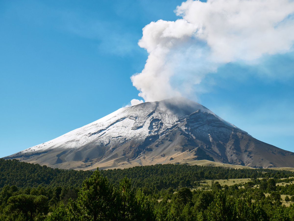
@GEO101SUNY an image of the Popocatépetl in Mexico. It is an active volcano located on a convergent plate boundary between the North American Plate and Cocos Plate.
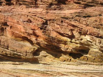
@GEO101SUNY an image of cross-bedding patterns of The Navajo Sandstone found in Zion National Park, Utah. These cross-bedded sedimentary layers were formed by windblown sand dunes.
@GEO101SUNY Human activities, along with natural factors, contribute in the loss of vegetation and causes soil to become vulnerable against rainfall. These gullies are created by running water and soil erosion
@GEO101SUNY Madagascar and Mozambique were recently hit by Tropical Cyclone Freddy. With the worsening of climate change, storms are becoming a lot more frequent and destructive on the environment news.un.org/en/story/2023/…
@GEO101SUNY this article talks about the two storms that will travel this week throughout the US, expecting to bring heavy rain and snow as well as high winds
foxweather.com/weather-news/s…
@GEO101SUNY What’s interesting to see from this image is that in 2020, it went down by only a little which may have resulted from the covid lockdowns. However, it has probably gone back up since then.