
Jose M. Cordero
85 posts

@gemar_ieo @FdezSalasLM @IEOoceanografia @V_Olganica Ya nos dirás cómo os va. Ahora trabajo en Kongsberg como responsable de la familia EM2040.
Español

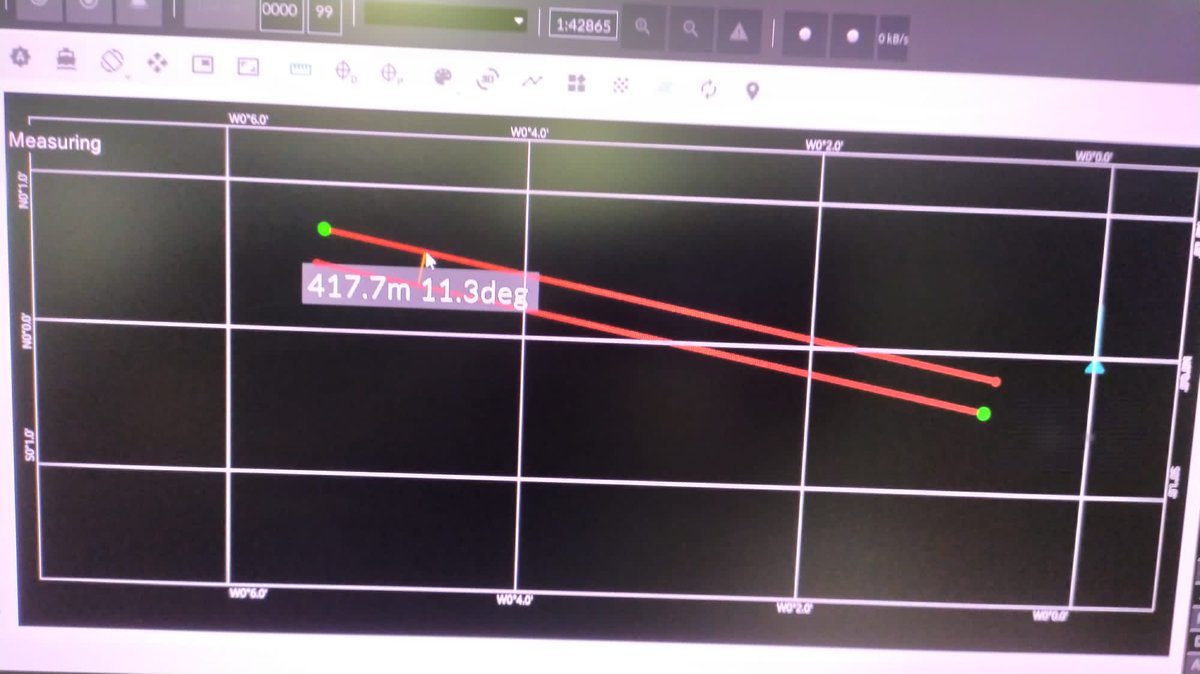
Bicheando el nuevo programa de adquisición de la ecosonda multihaz EM712 👩💻👨💻
🖥️ Hay mejoras a simple vista en los módulos de medida de distancia y plan de trabajo, lo que nos va a permitir planificar los transectos con mucha más facilidad
Deseando probarla ya en la mar 🌊🚢
Español
English

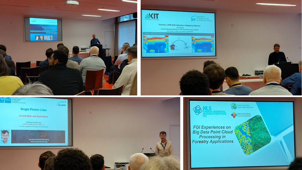
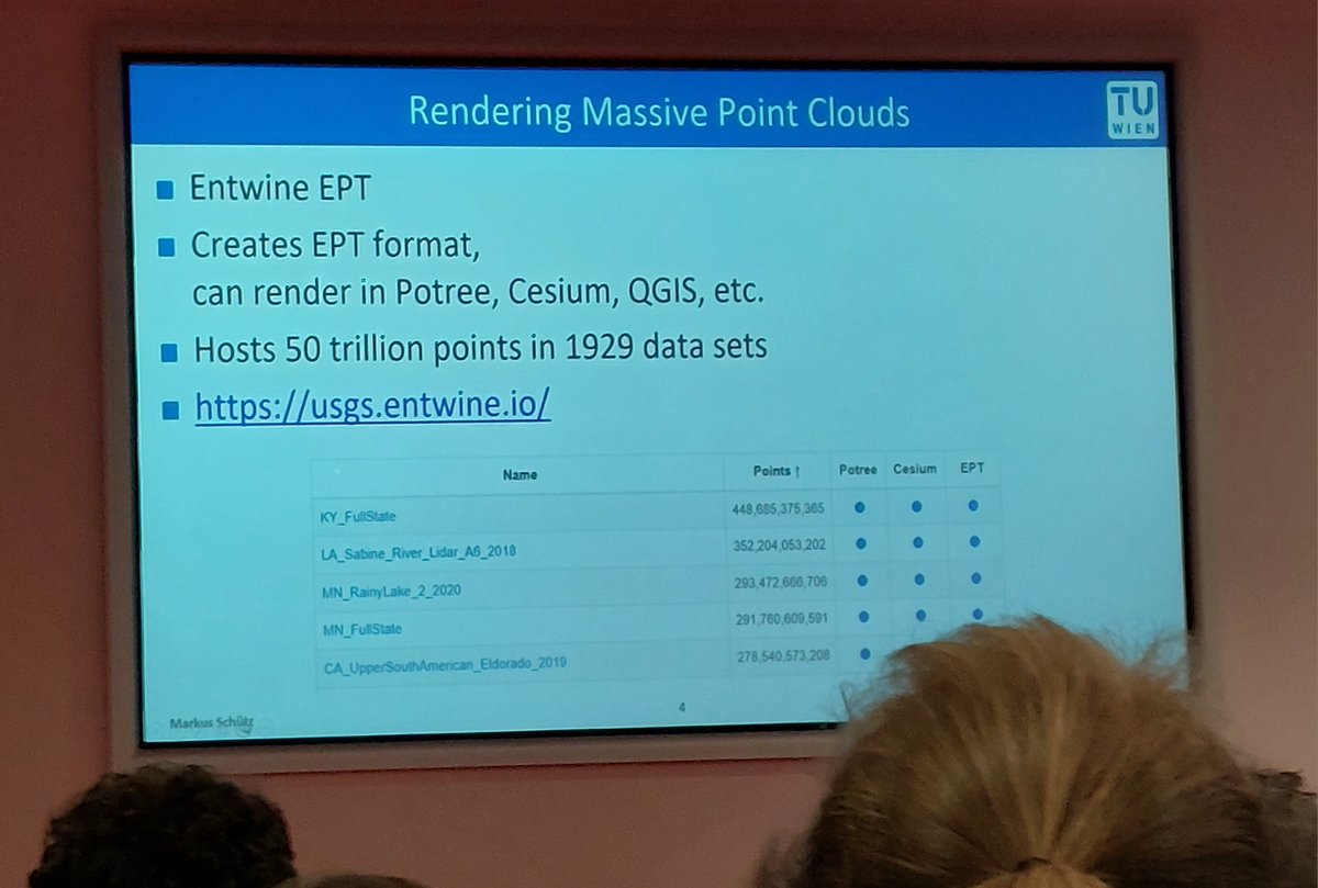
2 interesting and successful days in the @EuroSDR workshop on Point Cloud Processing
pcp2023.ifp.uni-stuttgart.de
#AI #3D #classification #pointcloud #semantic #LiDAR #photogrammetry #geospatial #mapping #NMCA @IfpStuttgart @nframes


English

Everyone’s using ChatGPT.
But most marketers are using it like BEGINNERS.
That's why I built this 104 growth hacking prompt swipe file.
And for the next 24 hours, it's free!
To get it, just:
1. Follow me @agarwal__gaurav
2. RT this tweet
3. Reply "SWIPE"
GIF
English
@OFI_BEcoME @OceanFrontier @DalhousieU Is it possible to attend the sessions online or to access the presentations afterward?
English

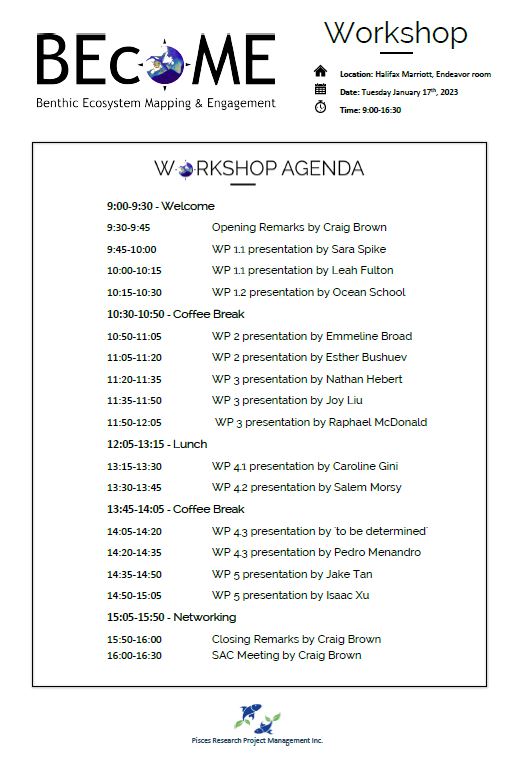
The BEcoME Workshop is fast approaching!
Tuesday January 17th | 9:00am to 4:30pm | Halifax Marriott #OFI_BEcoME @OceanFrontier @DalhousieU
…6-4cc8-8659-1418febf2b23.filesusr.com/ugd/0a8825_e3c…
English

After 150 hours of using ChatGPT, here it is:
👉 MASTERING GPT PROMPTS 👈
🔥 A Complete Guide to Writing Prompts
🔓UNLOCK Full Potential
✅Formula to create prompts for anything
✅Landing Page, Blogs, Tweets, Copywriting etc
FREE today!
Like & Comment "chatgpt"
I'll DM you
English
@fwrnke It is not that terribly noisy. There are many tools to (not manually) clean these point clouds.
English
@jonstephens85 Yeah, but can the resulting mesh be exported? It seems that you can only visualize it.
English

NeRF Mesh vs Photogrammetry Mesh Reveal! twitter.com/i/broadcasts/1…
English

Historically, in recent centuries at least, it's been the "garden" invading/imperialising/colonizing the "jungle".
A very randomly selected case in point: the Spanish "garden" imperialized the Latin American "jungle" and wreaked havoc on it for centuries.
English
Josep Borrell: "Europe is a garden. Most of the rest of the world a jungle. The jungle could invade the garden. The Jungle has a strong growth capacity.'
Dear Mr. @JosepBorrellF
This is the WORST ANALOGY of all time, for the following reasons:
a thread🧵 1/7
English
For those interested in ocean mapping, I have just created this public repo listing interesting resources github.com/monocilindro/A…
English
@tylermorganwall Tyler, is it possible to use a Lidar point cloud (in "las" or any other commonly used format for point clouds) as the input data for the 3d visualization?
English

5/n Moral of the story: open source is not a zero-sum game! Parallel efforts can result in improvement of the ecosystem as a whole, even if the other efforts just show you where your blind spots were. #RStats
Rayvertex website:
rayvertex.com
English
1/5‼️New update: rayvertex v0.4.5 has been released! This vastly speeds up 3D scene construction and adds a `scene_from_list()` function to do all the slow 3D scene parsing once at the end. #RStats #rayvertex
GH:
github.com/tylermorganwal…
Fun anecdote: this update was inspired...
English
@FdezSalasLM I am setting the clock alarm for this event...can´t miss it
English

It will be available right now. Only 1 day left.

English
@DahnJahn Great repository...what about adding some bathymetry datasets? GEBCO and Emodnet, at least...
English
⛰️ Awesome-DEM
Overview of Digital Elevation Model datasets
github.com/DahnJ/Awesome-…
Just created this, feedback is most welcome! 🙏
English

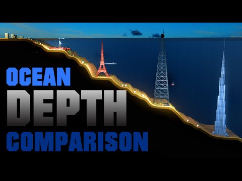
#Bathymetry data helps us understand the dynamic of our oceans and unveil mysteries of the deep.
Me: can't stop panning back and forth on my #GeoMapApp screen and imagining what type of creatures could one find there 🤔#seafloormapping

English
Sunrise simulation over the submarine canyon Valencia (Spain) using multibeam bathymetry and #aerialod
English
Jose M. Cordero retweetledi

En este levantamiento hidrográfico, en el que participan efectivos del #InstitutoHidrográficoDeLaMarina y del #RealObservatorioDeLaArmada, se aprecia la existencia de volcanes y cañones submarinos más de 2000 metros bajo la superficie del mar

Español
@hbecerraGIS ¿Como visualizas las nubes de puntos en VR? ¿Que software/hardware usas?
Español
@MartinHTrauth This is not an answer to your question, but what about including the GEBCO bathymetric model in your DEM chapter?
English
@ccom_jhc It seems that the link is broken. Could you check it?
English

As promised, here is the link to register for the broadcast of Luciano Fonseca's talk, "A Statistical Approach for Analyzing and Modeling MBES Backscatter," on Friday. Remember, we go live at 3:10 p.m. EDT. All are welcome! bit.ly/3rWlGRI #oceanseminar #sciencefriday

English