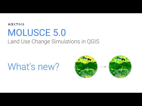
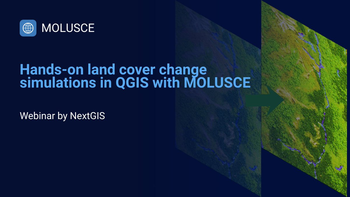
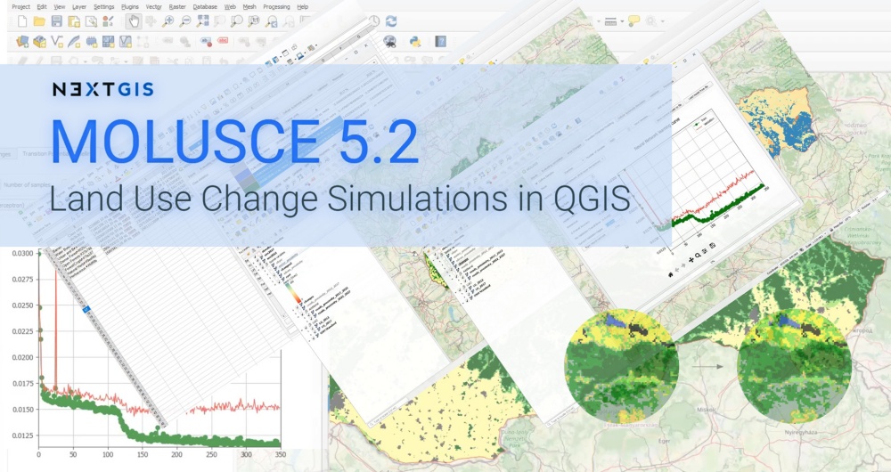
NextGIS

1.3K posts

NextGIS banner
NextGIS

NextGIS

@nextgis

Complete solution for your company mapping needs. Enterprise-ready QGIS collaboration across teams.

Estonia Katılım Ekim 2010
18 Takip Edilen1.1K Takipçiler
NextGIS
NextGIS@nextgis·
For you PMTiles fans! Fresh QTiles for QGIS can now output to PMTiles pretty much anything you can open in QGIS. #qgis #nextgis #pmtiles #qtiles
NextGIS tweet media
English
0
9
35
1.5K
NextGIS
NextGIS@nextgis·
QGIS + version control Track edits. Review history. Roll back mistakes. Demo ↓
English
0
5
17
727
NextGIS
NextGIS@nextgis·
Over 400 research papers used @QGIS #MOLUSCE plugin +22 more in 2026 😱🎇 New 5.2 version adds: (1) save/load models and (2) using different versions of environmental factors at the training vs. prediction stages nextgis.com/molusce/
NextGIS tweet media
English
1
34
173
7.4K
NextGIS
NextGIS@nextgis·
💥 NEXTGIS CYBER FRIDAY: 50% OFF EVERYTHING! Geodata and cloud subscriptions at 50% off! Get unlimited Web Maps, data collection, GPS tracking, QGIS integration and processing tools. Access basemaps, buildings, roads, elevation, POIs. ⏰ Dec 1-5 only! nextgis.com/black-friday-2…
NextGIS tweet media
English
0
1
6
236
NextGIS
NextGIS@nextgis·
QGIS + VS Code = DevTools. Debug your @qgis scripts directly in VS Code using the new version of the #QGIS DevTools plugin🌎🧑‍💻🙋 #newrelease
English
0
1
7
174
NextGIS retweetledi
MappingGIS 🚀🌍
MappingGIS 🚀🌍@MappingGIS·
Desarrollar plugins de #QGIS ya no es un dolor de cabeza: llega DevTools de @nextGIS QGIS DevTools es un complemento de QGIS que permite una integración fluida con Visual Studio Code, uno de los entornos de desarrollo más utilizados y completos. mappinggis.com/2025/11/desarr…
MappingGIS 🚀🌍 tweet mediaMappingGIS 🚀🌍 tweet mediaMappingGIS 🚀🌍 tweet media
Español
0
18
55
1.9K
NextGIS
NextGIS@nextgis·
NextGIS Web 5.2 is here with expanded Web Map editing, ultra-detailed zoom, and faster performance! The update is now available in the cloud and for installation on your own server. We've prepared a detailed overview: nextgis.com/blog/ngw-5-2/
NextGIS tweet media
English
0
0
7
118
NextGIS
NextGIS@nextgis·
What's NextGIS really❓🤔 Here’s the deal: * Store, manage, and publish your spatial data * Seamless QGIS integration * Access ready-to-go spatial data packages for any area on 🌍 * ... ... wait, there's more. Welcome to our brand new nextgis.com!
English
0
1
6
146
NextGIS
NextGIS@nextgis·
Data for Business Intelligence and Geoanalytics We are pleased to introduce a new dataset available through NextGIS Data – points of interest. Use this dataset to get insights for market analysis, site selection, planning and development. Learn more: nextgis.com/blog/poi/
NextGIS tweet media
English
1
29
148
8.3K
NextGIS
NextGIS@nextgis·
Painless QGIS plugin development with a new DevTools plugin for QGIS. Connect and debug with VSCode or Visual Studio github.com/nextgis/qgis_d…
English
0
4
17
1K
NextGIS
NextGIS@nextgis·
Create mobile forms in your web browser With the recent NextGIS Web update you can choose between several ways to create a data collection form for your mobile app: — Build a form directly in Web GIS — Upload a NGFP file — Create a form+new layer from desktop Formbuilder
NextGIS tweet media
English
0
0
7
245
NextGIS
NextGIS@nextgis·
NextGIS Web 5.1 We're excited to introduce the latest version of NextGIS Web! We invite you to explore the new features and would love to hear your feedback and suggestions. Learn more: nextgis.com/blog/ngw-5-1/
NextGIS tweet media
English
0
1
4
158
NextGIS retweetledi
Paco Martínez
Paco Martínez@PacoMartNT·
Today, it's fast and easy to access building footprint data using AI-mapped solutions. One quick and affordable option is offered by @nextgis at a very low cost: data.nextgis.com/es/region/cust… #OpenData #AI #DisasterResponse #GIS #HumanitarianTech
OCHA Centre for Humanitarian Data@humdata

Following recent flooding in Mokwa, central Niger State, Nigeria, @hotosm is sharing building footprint data covering approx. 15,700 buildings. Based on AI-mapped estimates, this represents about 85% of the total buildings in the area. Explore on HDX: data.humdata.org/dataset/hotosm…

English
0
1
5
175
NextGIS
NextGIS@nextgis·
MOLUSCE 5 released! We have updated MOLUSCE – QGIS tool to analyze and predict land cover changes. The most important update in MOLUSCE 5.0 is the ability to use different spatial variable layers during the training and prediction stages. youtu.be/GVrk_uLJbuA
YouTube video
YouTube
English
0
2
13
327
NextGIS
NextGIS@nextgis·
🌎 Global Landcover Data on NextGIS Data! Three high-resolution (10m) global landcover datasets are now available on NextGIS Data. Choose from ESRI Land Cover, ESA WorldCover, or Dynamic World. Learn more: nextgis.com/blog/landcover…
English
0
1
5
105
NextGIS
NextGIS@nextgis·
Wurman Dots 2.0 for QGIS We added a new mode that generates a grid based on cell count. Now you have two options how to create a grid: — define the size of a cell; — or define the number of cells (along the shorter side of the input point layer's extent).
NextGIS tweet media
English
0
0
1
143
NextGIS
NextGIS@nextgis·
Projects for ArcGIS Pro on NextGIS Data Now you can get a ready-to-go project for ArcGIS Pro when you order OSM basemap data in Geodatabase format. Soon this option will be available for the other data set types too. Order data: data.nextgis.com/en/
NextGIS tweet media
English
0
0
4
121