
Pelican Mapping
123 posts
Pelican Mapping
@pelicanmapping
The best Open Source 3D Mapping software in the whole entire galactiverse!
Washington DC Katılım Aralık 2009
0 Takip Edilen317 Takipçiler
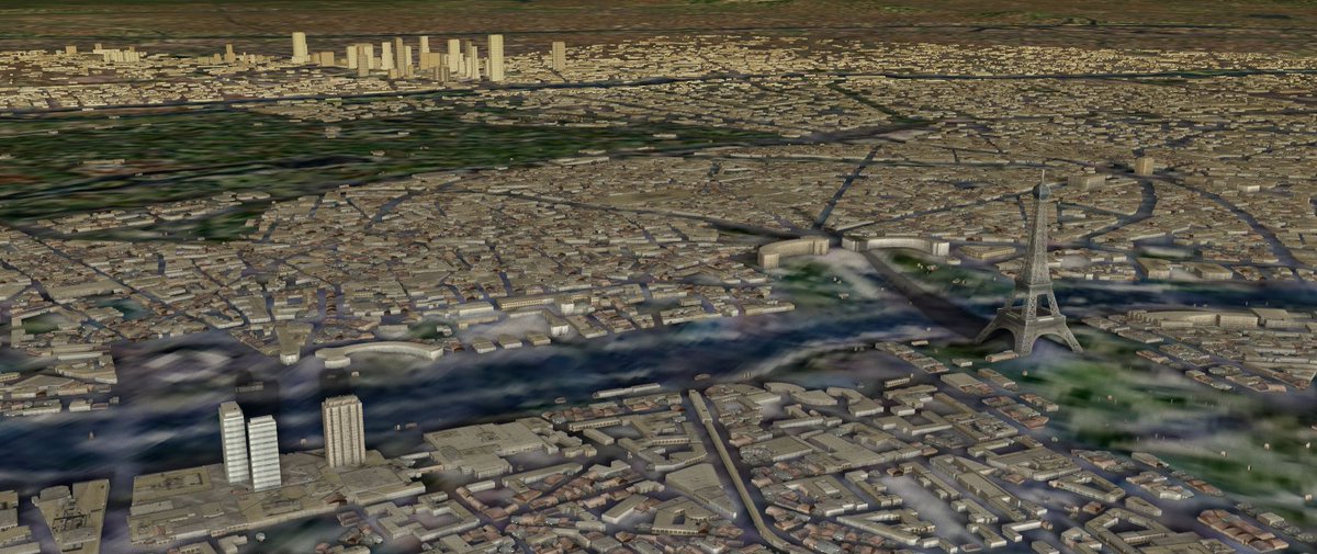
Paris from OpenStreetMap, rendered with the new Buildings module.
English
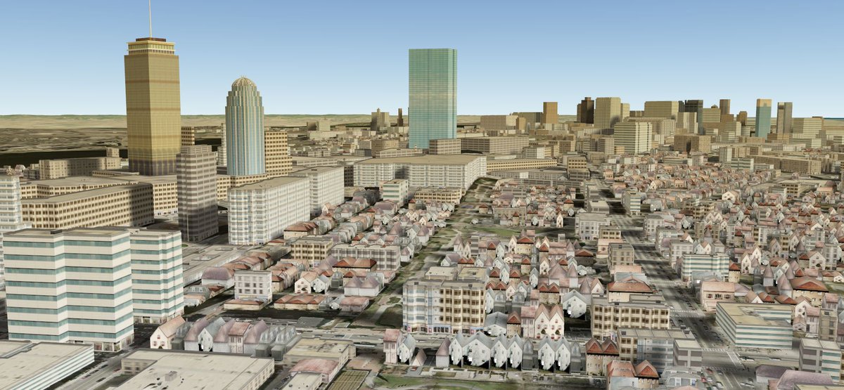
The new Buildings module features nicer looking structures, real-model substitution, and instanced mass buildings.
English
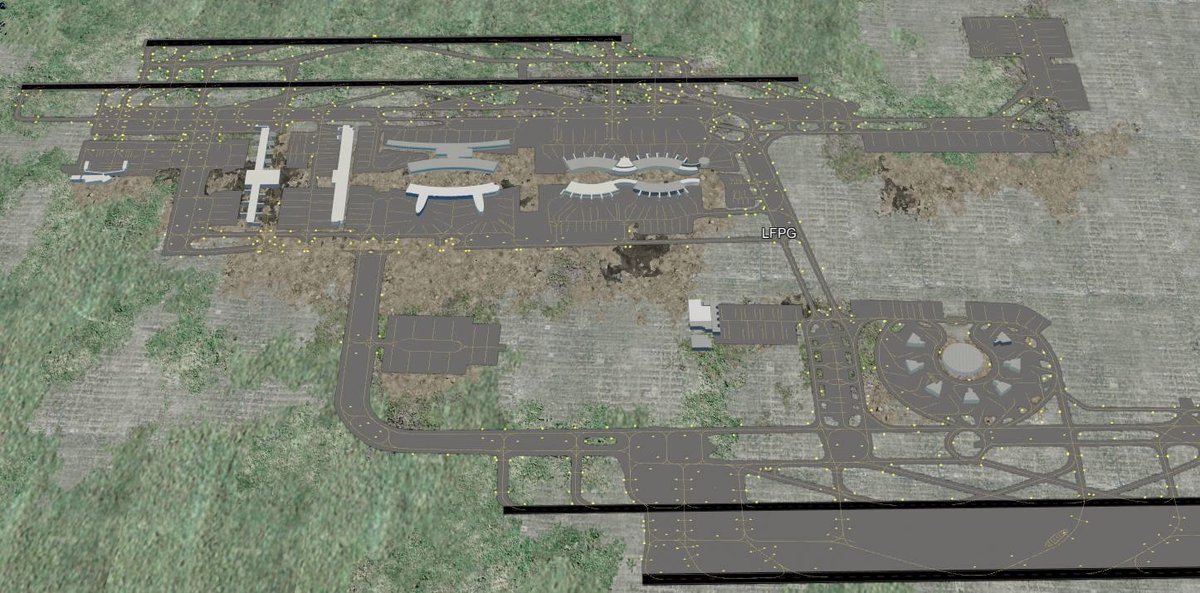
We've been doing some work on aerodrome generation. Here is a quick shot of CDG airport outside of Paris.
English
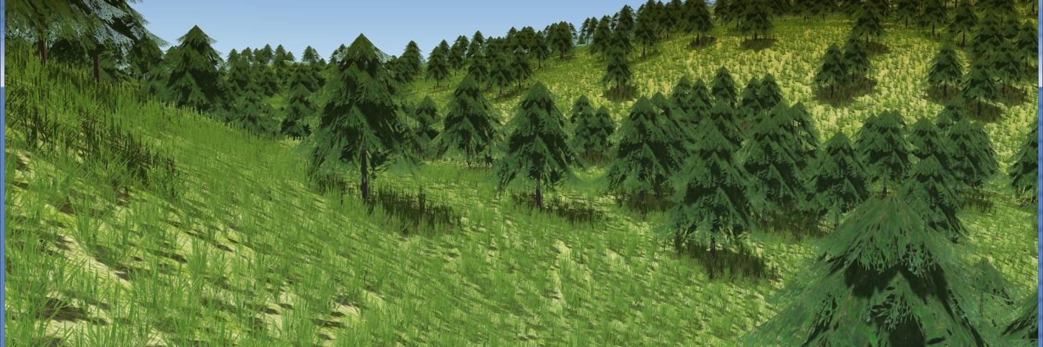
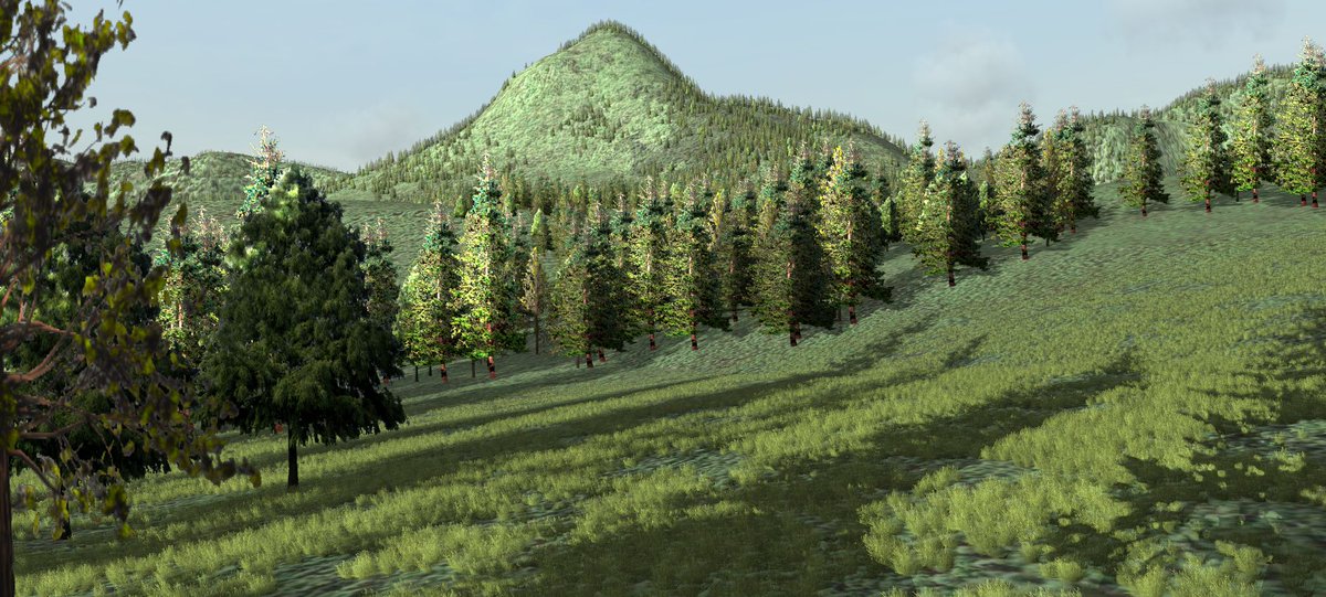
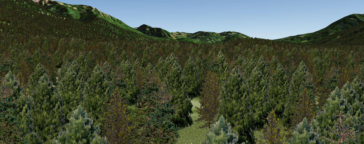
More work on flora lighting. We set the corner normals on the tree billboards to respond a little more realistically
English
Khronos Finalizes glTF 1.0 Specification for Efficient, Interoperable Transmission of 3D Scenes and Models buff.ly/1LlGuFC
English
Pelican Mapping retweetledi

Announcing EarthViewer for web hhmi.org/biointeractive… and chromestore chrome.google.com/webstore/detai… built with @CesiumJS by @pelicanmapping
English


Beauty. RT @ToninoTarsi: Live 14th FAI World Paragliding Championships Day 6 @osgearth @airsports_fai goo.gl/29TIAL
English
OSGEarth PFD and new QML ModelView WIP buff.ly/1DBNHiM #openpilot
Deutsch


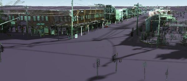
Been working with point could data in #osgEarth - a bit surprised that the shadowing just worked, not gonna lie fb.me/2v8yNVJmK
English
Been working with point could data in #osgEarth - a bit surprised that the shadowing just worked, not gonna lie
English
#osgEarth now has read/write support for GeoJSON features in JavaScript, so you can do cool things like this. fb.me/6MK58izeQ
English
#osgEarth now has read/write support for GeoJSON features in JavaScript, so you can do cool things like this.
English