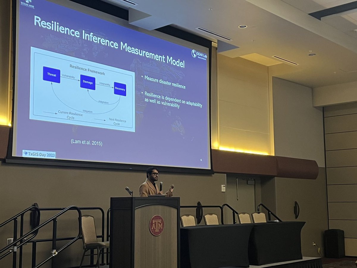

Debayan Mandal retweetledi

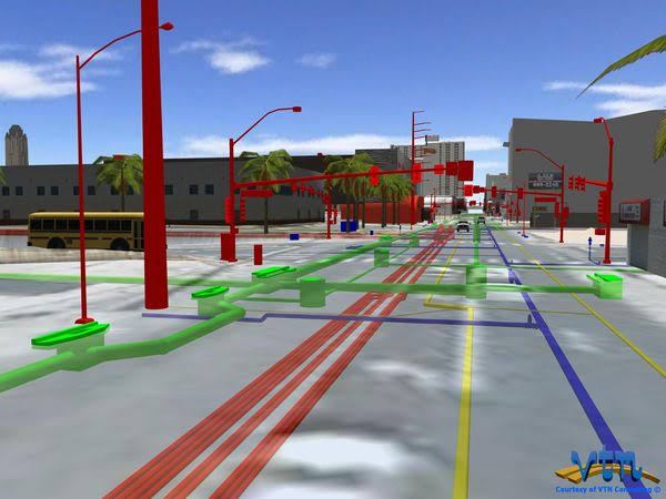
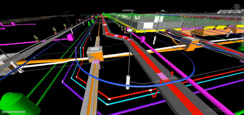
Could we see floods 🌊 evolve on streets in immersive 3D before damage happens?
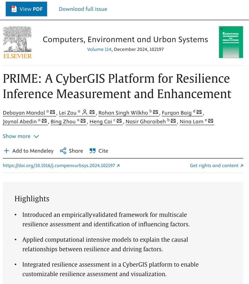
📰Our new paper published in CEUS led by Dr. @rohan_debayan introduces a 4D geospatial flood digital twin to address this challenge: doi.org/10.1016/j.comp…
English