Ted McCormack retweetledi

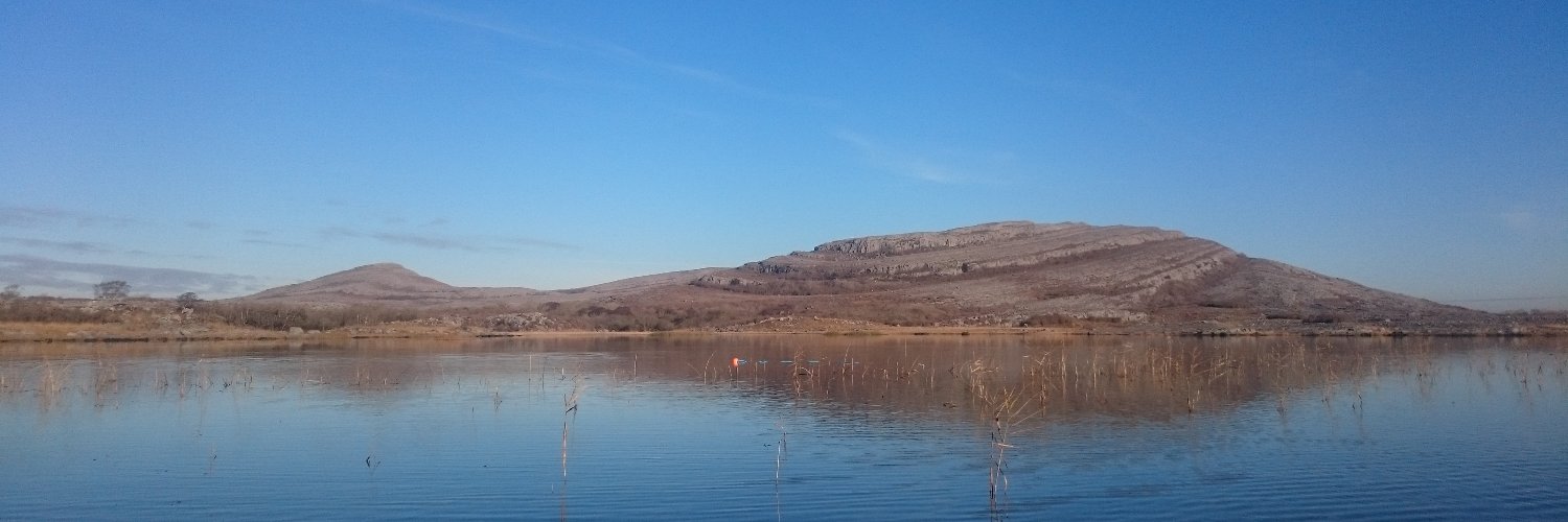
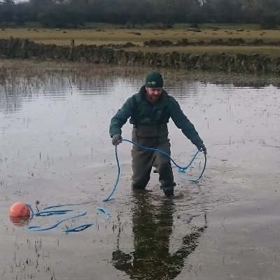
New research by @GeolSurvIE and @SETUIreland Ireland just released. We used @CopernicusEU Satellite Imagery to map annual maximum flood extents at a national scale. Access the research paper here: authors.elsevier.com/a/1fq8e7qzSxc5E (1/3)
English