June 5, 2020 - Crawford, NE
Sunset mothership northeast of town. Love chasing the high plains. #newx

English
Atmospheric Chaos
4K posts
@ColtForney
Documenting wild weather🌪️⛈️| OU Meteorologists & an MPA, passionate about severe weather education 🎓 | https://t.co/EnomelwVTd

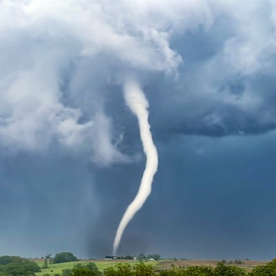
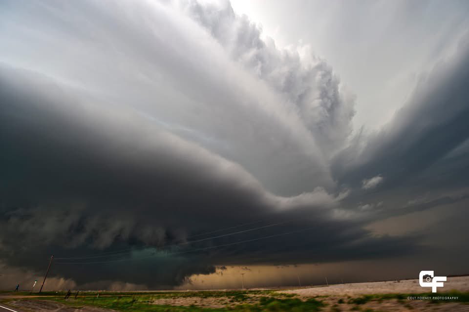
Show me a better cloud pic than this


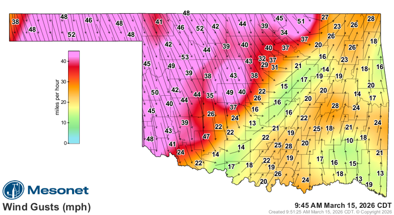


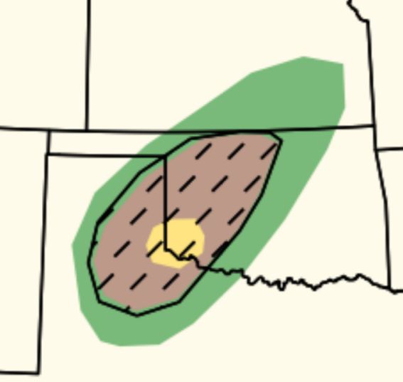
If a storm can stay isolated into southwestern Oklahoma tonight, watch out.
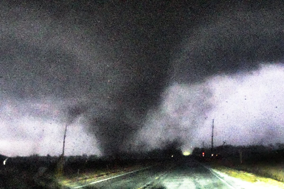
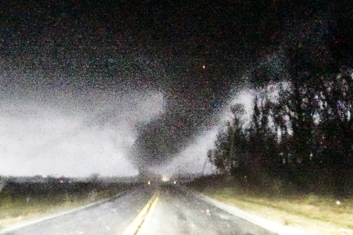
Also — word to the wise. If you’re chasing tonight, watch out for occlusions. Tornadoes, if they happen, could deviate *hard*.