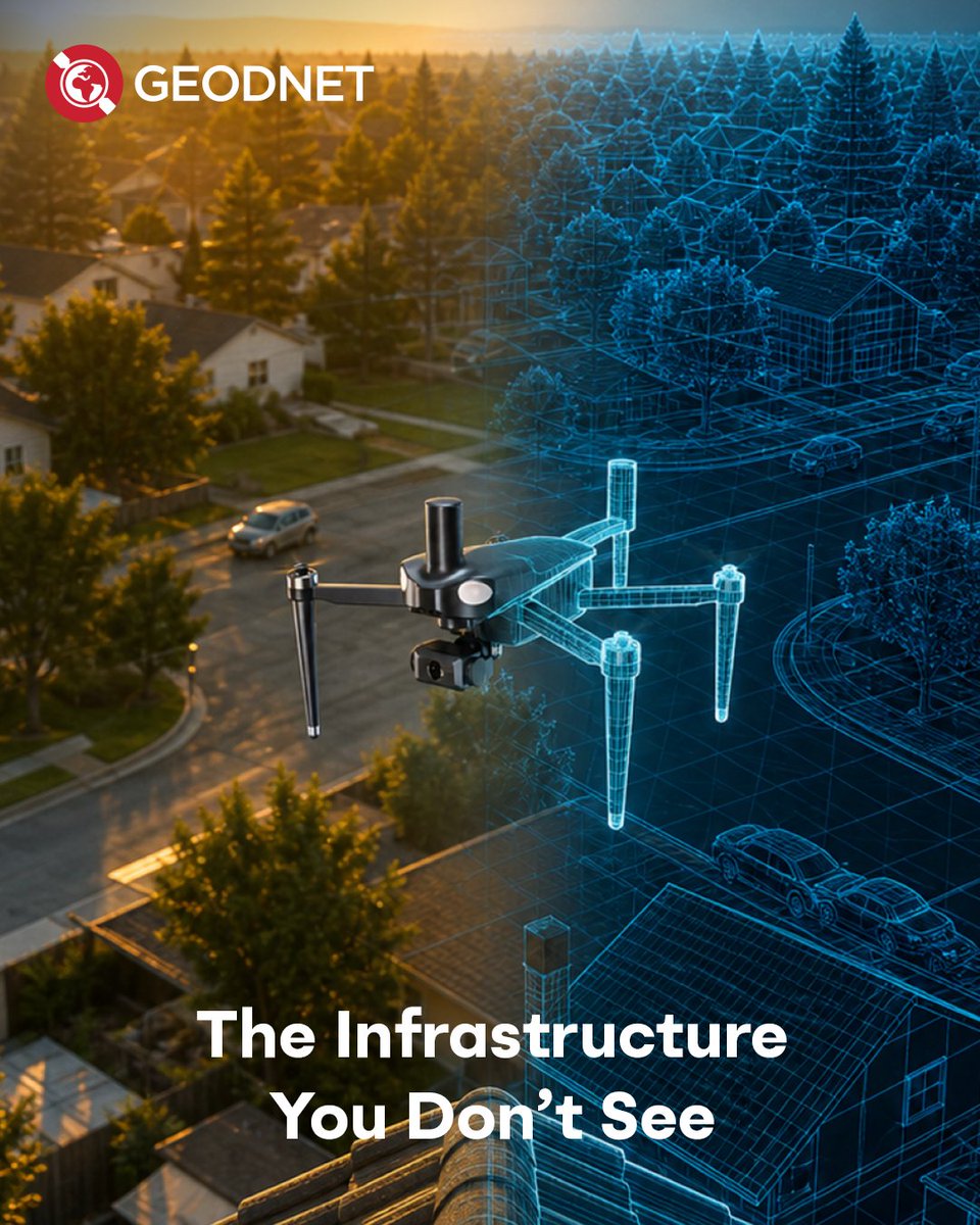
Most people never think about the infrastructure behind accurate positioning.
But behind drone flights, mapping systems, machine automation, and field surveying is a
massive amount of positioning data working in real time.
GEODNET helps make that possible.