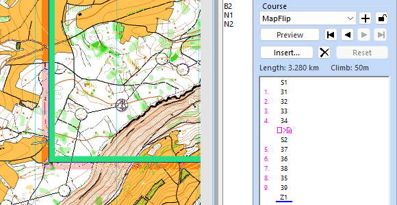
On the website 'GPS in Orienteering Map Map Making', you’ll find a summary of useful information about GPS and instructions on how to use GPS with OCAD.
shop.ocad.com/knowledge/arti…
English
OCAD AG
317 posts
@OCADAG
OCAD is a worldwide spread software programme for drawing maps of all types, such as orienteering maps, city maps and topographic maps.