Capital Weather Gang@capitalweather
Big warmup starting in about a week, 60s and 70s possible
Yes, snow is in the forecast on Monday. But after that wintry system passes on Tuesday, the weather pattern is poised to shift in a radical way. The jet stream dip that has allowed repeated bouts of frigid air to plunge southward will retreat to the north. This will allow much milder air to surge in from the south and west.
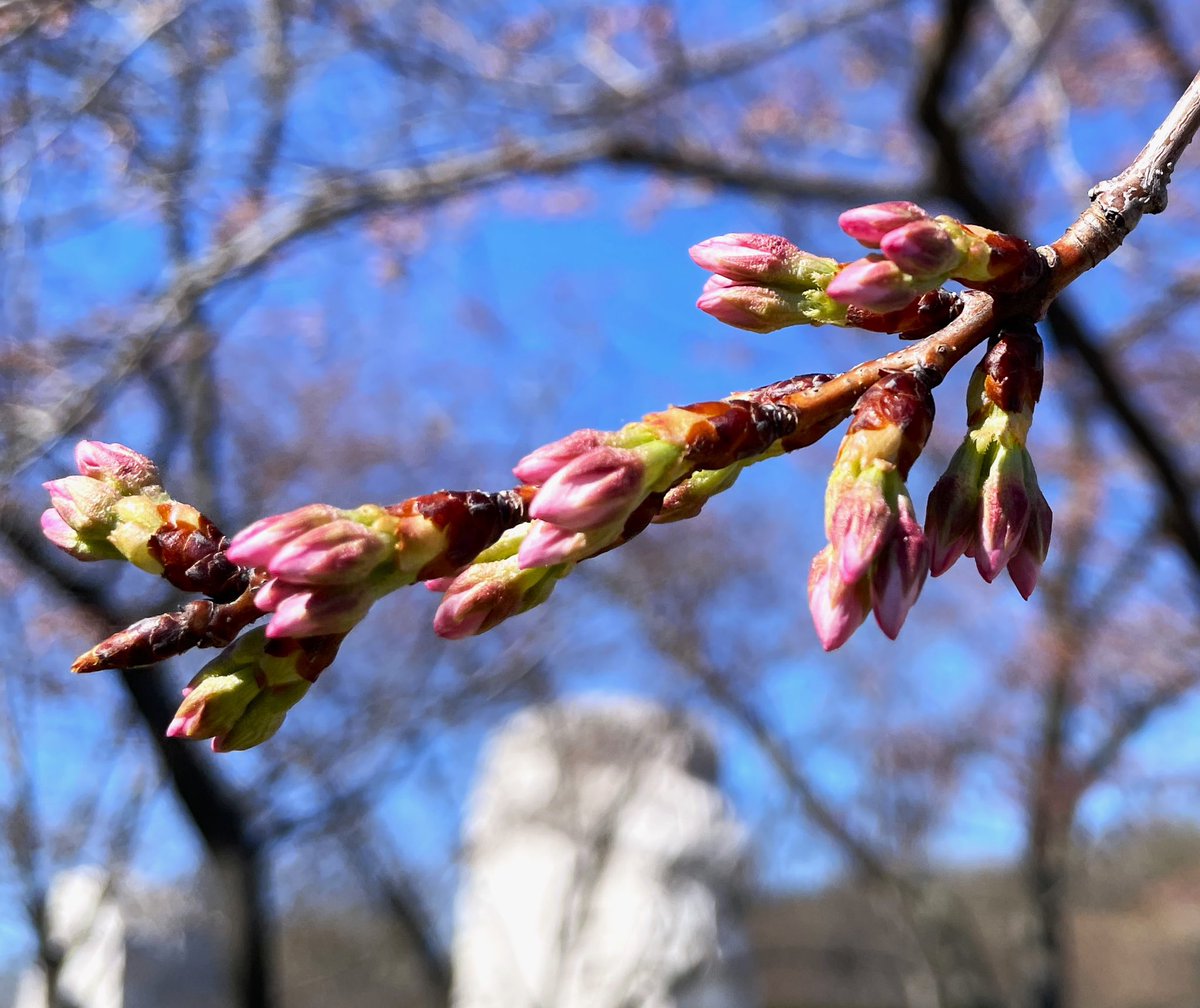
The National Weather Service Climate Prediction Center gives high odds of above normal temperatures between March 5 and 11. The European modeling system predicts highs in the 60s and 70s. Such weather, if it materializes, will launch spring into action, with pollen erupting, early flower blooms and the onset of the cherry blossom bud development.
However, sometimes models exaggerate the intensity of warm spells in the longer range. Sneaky cold fronts from the north can thwart the progression of warm air and, instead of 60s and 70s, 50s dominate.
And, assuming the warm spell does happen as predicted, there are some signs it could be a case of “false spring.” It's possible that a disruption of the polar vortex could bring one last surge of wintry cold in mid- to late March.