
Vantor CEO Dan Smoot joined @ForwardFuture to discuss how geospatial intelligence and sovereign AI are reshaping defense and intelligence workflows.
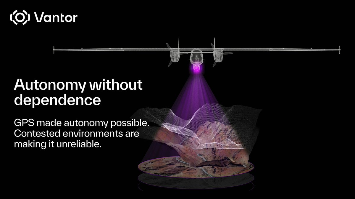
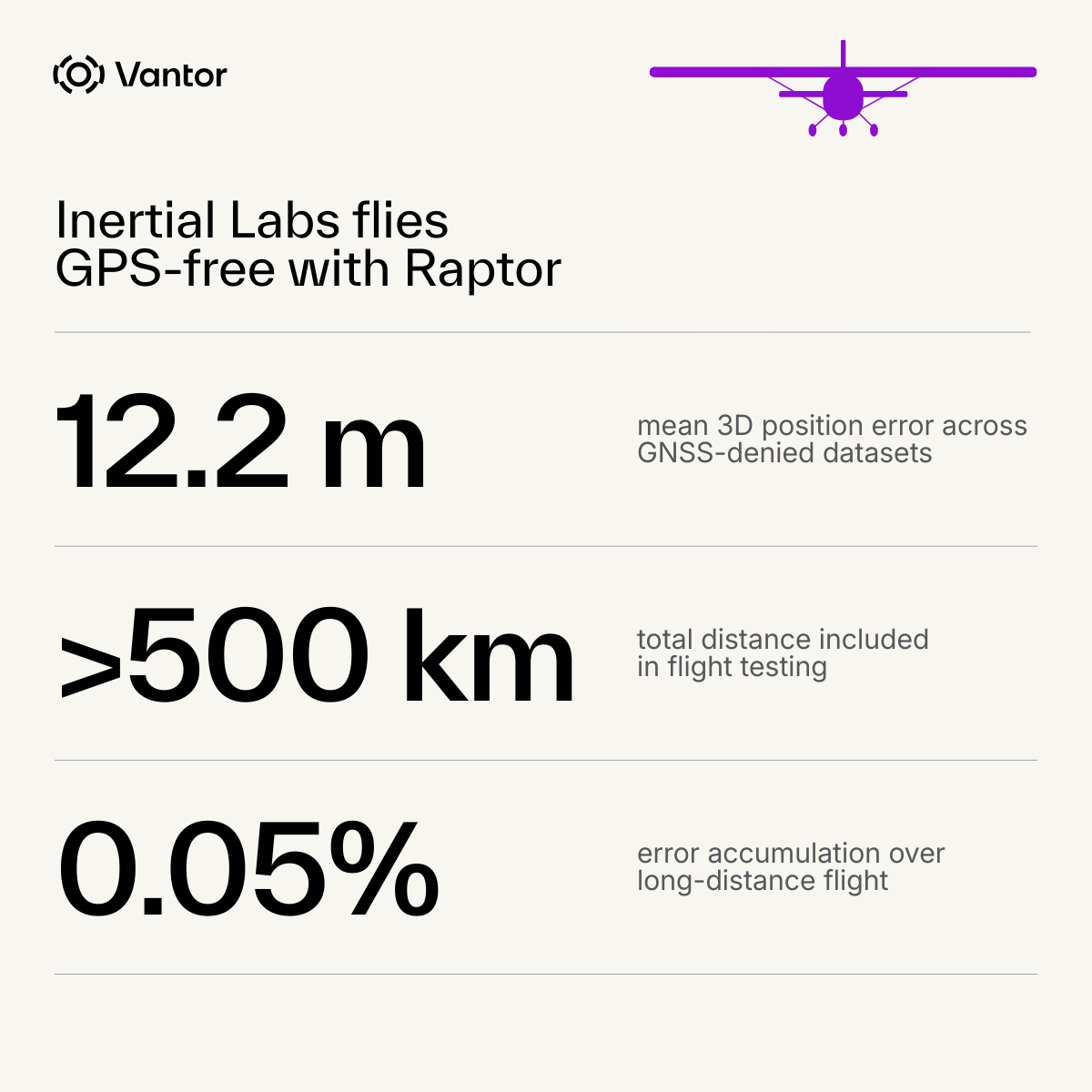
He breaks down how Vantor’s global collection architecture—high-frequency satellite imagery paired with a continuously updated 2D and 3D spatial foundation—is enabling real-time applications, from change detection to GPS-denied navigation.
A standout example: applying AI in secure environments to identify and differentiate maritime activity at scale—tracking vessel behavior and anticipating where activity will emerge next.
This is where it becomes operational: workflows that once took days now run in minutes, turning global coverage into predictive, decision-ready insight.
Watch the full clip: youtube.com/watch?v=dJOw8y…

YouTube
English