پن کیا گیا ٹویٹ

friends and twitter mutuals: get ready for the mrisko softball league coming this summer to a chicago park NEAR you! #THIS
English
monster of midway
5.4K posts

@ChicagoAlek
maker of chicago rock writer of chicago politics listen to my music and read my articles if you like that stuff


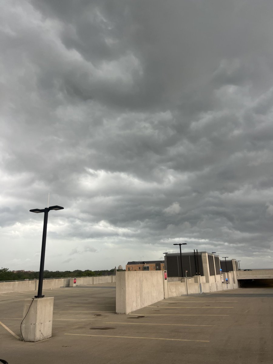
For clarity I try to keep one main thread going and will split out separate short term updates as things evolve. This is the main thread for today A midday official update below on evolving conditions behind the Iowa blob now approaching #Chicago in a diminished but rumbly state Cold front, main trigger for round 2, well back in Iowa and atmospheric recovery underway behind and south of the blob and ahead of the front. This should maintain the forecast for strong storms to fire by 3PM west of the MS River and move into IL. The extent and strength of this development frames the level of severity when they reach the metro area As noted below, new watches, likely tornado watches, should be issued later this afternoon
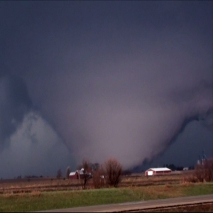


A severe weather outbreak across the Midwest looks likely on Thursday. A powerful jet streak will overspread an environment with mid 70’s dewpoints, extreme instability and good low level shear. Discrete storms appear possible, however I am more concerned about derecho potential