ChiWx378
13.5K posts


ChiWx378
@WeatherIzzi
Chicago area meteorologist and dog dad to the best dog ever! All views expressed are my own.
Chicago, IL Katılım Şubat 2014
331 Takip Edilen892 Takipçiler
@WeatherIzzi Lake breeze bolstered by outflow from storms to the NE too.
English
ChiWx378 retweetledi

Crazy footage sent to us of the Dwight #tornado touching down yesterday around 626pm! #ilwx
🎥 Special thanks to Michael Browning for allowing us to share this incredible video with our community! Shared through our Facebook: facebook.com/nilsevereweath…
English
ChiWx378 retweetledi

You (left) vs the guy she tells you not to worry about (right), Illinois edition

English
ChiWx378 retweetledi

ChiWx378 retweetledi
@gabecox @skydrama If you're willing to share your video with locations of the tornadoes with @NWSChicago we would greatly appreciate it. You can tweet us or email: nws.chicago@noaa.gov This would be a huge help in the daunting task of surveying we have ahead of us.
English

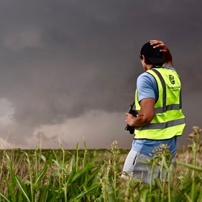
Quick edit showing some of the intense moments today while documenting 8 tornadoes in northern Illinois into Indiana. Massive shoutout to @skydrama for nailing the forecast in the warm sector. Hands down the craziest tornado outbreak I've ever documented.
Full video will be released in the near future on the @thestormreel YouTube page.
#ilwx #inwx #tornado #outbreak
English

This is usually how it looks when an Autobot is running through your neighborhood trying to get away from a Deception...😬
English

Unclear when, if ever, I've seen such intense (140+ mph) winds modeled on the HRRR for something outside of a hurricane.
While it likely won't be exact, High DCAPE, Steep LL Lapse rates, and strong 0-6km shear will all be supportive of derecho level impacts and wind damage across western North Dakota. #ndwx


English
I'm confused by what's happened in the Southwest. How is it that as you go west from central New Mexico into northern AZ the number of counties decreases as you get farther from the Mississippi River...😕
Vintage Maps@vintagemapstore
How many counties are between every US county and the Mississippi River
English
ChiWx378 retweetledi

What’s the over under on the Atlantic having fewer named storms than the central Pacific this year?
Andy Hazelton@AndyHazelton
This CanSips forecast is arguably the most hostile climate model forecast I have ever seen for peak season in the Atlantic this year. Dry anomalies all across the basin and high pressure dominant across the Caribbean, Gulf, and much of the Central MDR.
English
@Ace_chicago That I-57 canvass that almost got stuck in started a little before 4 pm. I got back on at 111th at 401 pm and could see them canvassing in my rear view mirror.
English
ChiWx378 retweetledi

Well it might be how she behaved if she were desperately trying to hang on to her family's fading grip on power. She was either lying then or now, but there was more at stake then.
Alex Thompson@AlexThomp
A lot of Democrats including several former Biden aides I talked to just simply don't believe Jill Biden. Given how she behaved post-debate, several Biden aides said that if she really believed he was having a stroke, that's not how she would act. Talking w/ @brikeilarcnn
English
@abluecanary Yep, was able to piece it together listening to Z7 and CW1, but that mess is on Event 1, so not many details. Thanks!
English

Ton of CPD racing up I-55 onto Lakeshore Dr...another teen trend? #chicagoscanner
English