One-dimensional maps

32 posts

One-dimensional maps banner
One-dimensional maps

One-dimensional maps

@longthinmaps

Celebration and criticism of maps of individual rivers, roads, railways, routes, flights and journeys of the imagination. Tweets by @lorp

Null Island شامل ہوئے Eylül 2023
27 فالونگ18 فالوورز
پن کیا گیا ٹویٹ
One-dimensional maps
One-dimensional maps@longthinmaps·
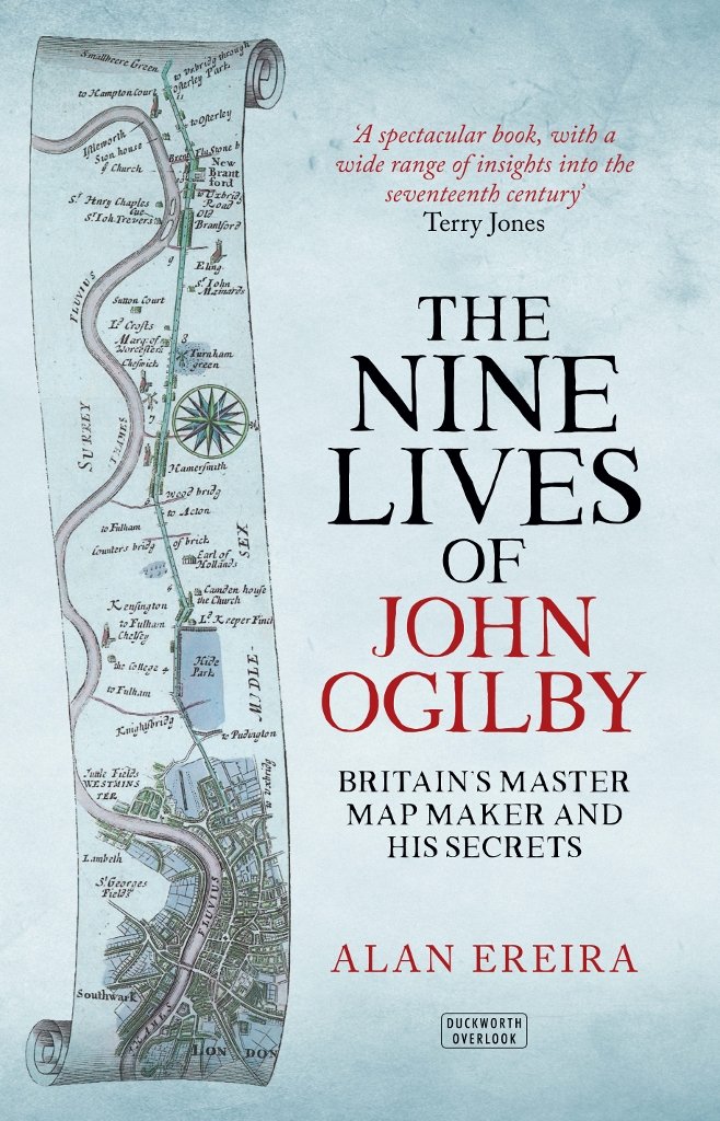
Let’s start with some book recommendations. First, Alan Ereira’s 2016 biography of one-dimensional mapper extraordinaire John Ogilby (in which you’ll learn that his state-funded magnum opus “Britannia” was part of a plot for the French to invade England via Aberystwyth!)
One-dimensional maps tweet media
English
2
1
2
350
One-dimensional maps
One-dimensional maps@longthinmaps·
Drop the “British Museum” text panel on the left to widen the scroll window. Everyone knows where it is.
English
0
0
0
16
Aaron Francis
Aaron Francis@aarondfrancis·
@JannikJung I just wanna print like 8 feet of something... not sure what yet
English
12
0
76
10.3K
One-dimensional maps ری ٹویٹ کیا
Aaron Francis
Aaron Francis@aarondfrancis·
This open source printer looks incredible
Aaron Francis tweet media
English
174
322
9.4K
431K
One-dimensional maps
One-dimensional maps@longthinmaps·
Rob Durkin @vectorchap is to be credited for “Discover London above the Piccadilly Line” from 2015. He’s also done posters of the Victoria Line, the Overground and the Thames in this style #TubePosters" target="_blank" rel="nofollow noopener">robdurkin.co.uk/#TubePosters
One-dimensional maps tweet media
English
0
0
0
19
One-dimensional maps
One-dimensional maps@longthinmaps·
I’d love it! I took a photo of one in its natural habitat in 2013, so they aged well. It features as part of my #1dmaps collection. RT and reply? Tough call but ok!
English
1
1
0
151
One-dimensional maps ری ٹویٹ کیا
Simon Kuestenmacher
Simon Kuestenmacher@simongerman600·
Dear publishers, please take note. 📖 🗺️
Simon Kuestenmacher tweet media
English
44
557
4.8K
207.4K
One-dimensional maps
One-dimensional maps@longthinmaps·
Fantastic work, generating street profile views from point clouds. Brings to mind Caspar Philips’ Grachtenboek of Amsterdam (1768), Quadri’s Canal Grande (1831), John Tallis’s London views (1838), Ed Ruscha’s Sunset Strip (1966) and Jörg Dietrich’s PanoramaStreetline (now).
Hans van der Kwast @[email protected]@hansakwast

#30DayMapChallenge Day 28: Is this a chart or a map? Elevation profile of the centre of Delft, the Netherlands. #OpenData: AHN4 point cloud Made with #QGIS. Video about the elevation profile tool: youtu.be/ky0HkttaQ58

English
0
1
1
240