Sabitlenmiş Tweet
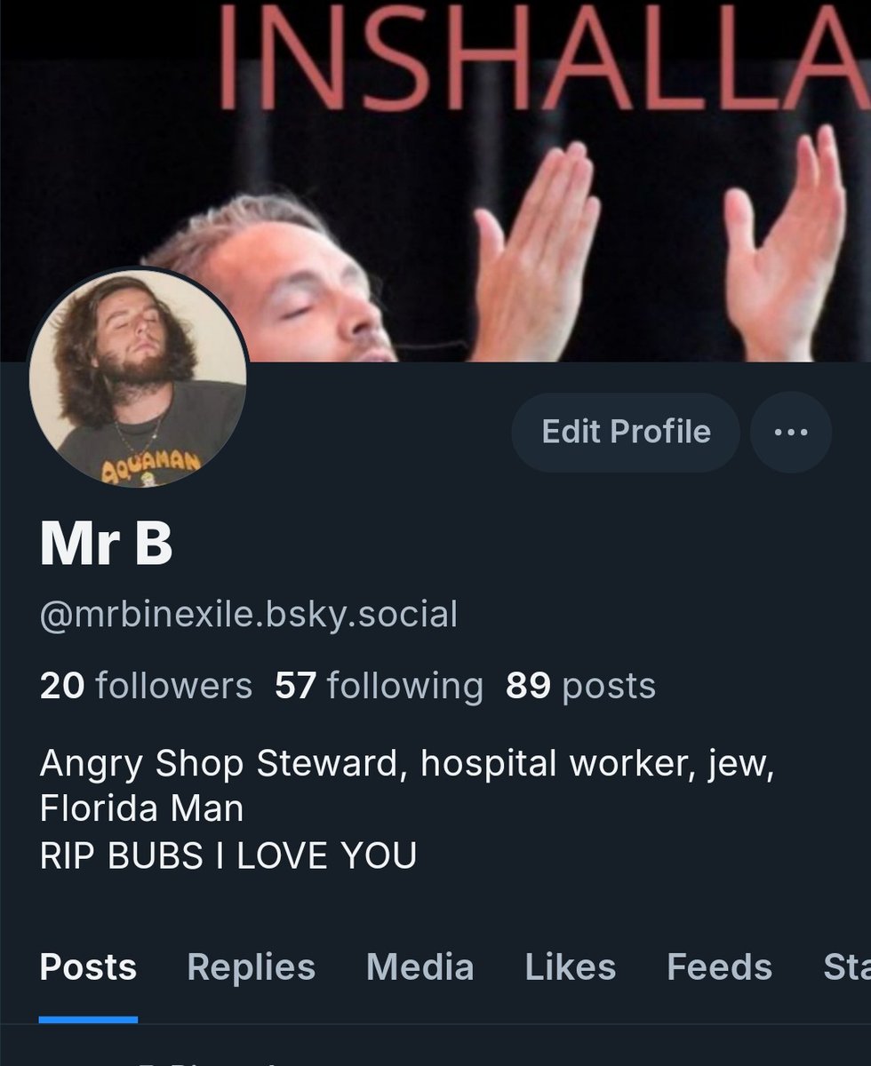
Mr. B
118K posts


Mr. B
@BrotherBeeBop
Angry Shop Steward | Hospital Worker | Gubmint | Soybean Futures | Sports | Florida Man
Florida, USA Katılım Ağustos 2016
2.7K Takip Edilen1K Takipçiler


Buc-ee's Is The Sickness At The Heart Of America
jalopnik.com/buc-ees-is-the…
English


@YairoMartis Hahah respect. But if you tweak out and wanna bail, don't worry, just jump off w the rest of us rats
English

@BrotherBeeBop Godspeed.
I'm going down with this sinking ship.
English
@Dinkeldash Lol i miss you already man. I'll still pop back in here sometimes to take a peek or I might even be back full time eventuality, like if they start to get blanketed w ads and porn bots like here. But for now Ima see how it goes
English
@BrotherBeeBop You’ll come back because you’ll have to. You’ll miss me too much.
English

@BrotherBeeBop Follow me--I have an account over there, haven't done much before now but will probably be spending more time there.
English

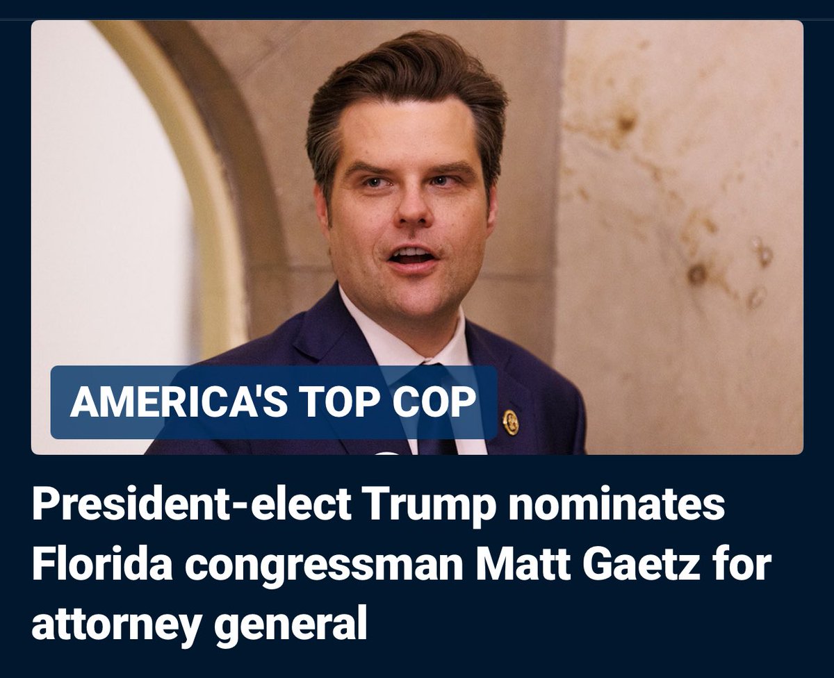
Donald Trump has appointed Ralph Cifaretto as the Director of the Department of Housing and Urban Development


English
@MemphisExpat I can't believe I somehow underestimated how much of a joke this would be haha
English
@BrotherBeeBop I *believe* this is a joke... but then... I look around at the others... including your fave MG... JFC
English
FUCK ME
Noah Bergren@NbergWX
SARA SCENARIOS: Door #1 could likely become a high-end hurricane when in the Caribbean if avoids land interaction. Meanders some this weekend then lifts towards the FL Peninsula mid-next week. Could be be central or north-central FL? I guess, but that would be unprecedented. I'd lean more south FL/Keys in this scenario but both would be possible where the center could go. Very much to some degree a Wilma-y 2005 vibe if panned out possibly. Highlighted area in each scenario indicates where the center could go in that outcome. Door #2 very much a weaker, further west track with the storm going into/over/through land in Central America and/or Mexico. Keeps it sloppier/weaker but still may manage to emerge in the Gulf, then get hooked into the FL Peninsula at some point also mid-next week. Want to stress there is a long way to go, but the chance of a direct tropical impact somewhere in Florida is growing slowly for next week. Details are still far too uncertain. Stressing to continue to watch without worry... but be aware of this potential. Also if you have a cruise/vaca to Mexico/FL Keys/Bahamas next week, you definitely need to keep close tabs with how this evolves. Both scenarios tonight are equally as possible. There are many models within both camps.
English
Mr. B retweetledi

Donald Trump has nominated Saruman the White as the Environmental Protection Agency administrator


English
Mr. B retweetledi

from hosting the brics to the us elections to the latest trump nominees, just an extraordinary few weeks for putin
English
Mr. B retweetledi


Mr. B retweetledi

hookah being loved across species is crazy
Science girl@sciencegirl
Dolphin blowing bubble rings x.com/DamnThatsInter…
English