
Sabitlenmiş Tweet
Ecopia AI
1.2K posts

Ecopia AI
@EcopiaAI
Global supplier of high-precision mapping data digitizing the world using AI. #GIS #AI #Geospatial #Maps
Toronto, Ontario Katılım Haziran 2013
559 Takip Edilen860 Takipçiler

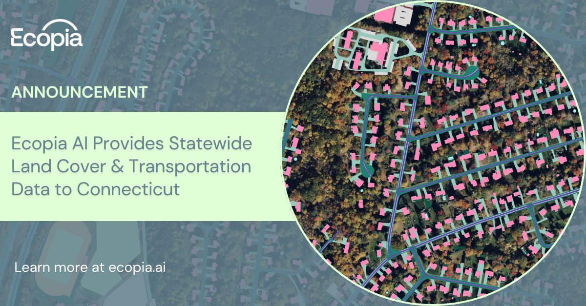
We’re excited to announce that Ecopia has provided the @CTGOVERNMENT with 28 layers of high-precision statewide land cover and transportation mapping data 🌐
Read the full announcement: hubs.ly/Q04gB78s0
English
Browsing data and downloading samples is easy with Ecopia's new online data portal 🌏
Simply select the area you're interested in, pick which features you'd like, & download your data - no manual digitization required.
Sign up for a demo to get started: hubs.ly/Q04dPpWJ0
English
Bad geospatial data = bad decisions. Learn more about the 4 Cs of data quality + key metrics like accuracy, precision, recall & F1-score in our latest blog: hubs.ly/Q04dPt6T0
GIF
English
@vantortech Learn more about this unprecedented dataset: vantor.com/blog/vantor-an…
English
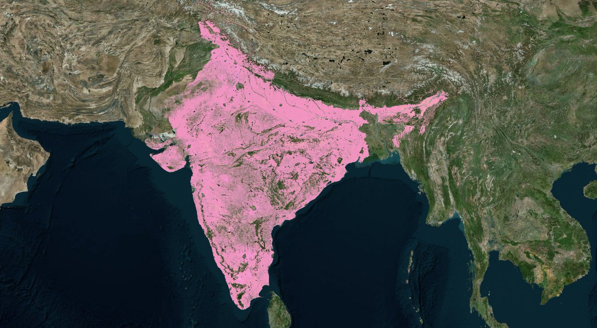
In just 3 months, we produced over 300 million building & road features across 3 million sq km of India with @vantortech - roughly 3% of the Earth’s habitable landmass - saving years of manual efforts & providing critical insight that keeps pace with a rapidly evolving region.
English
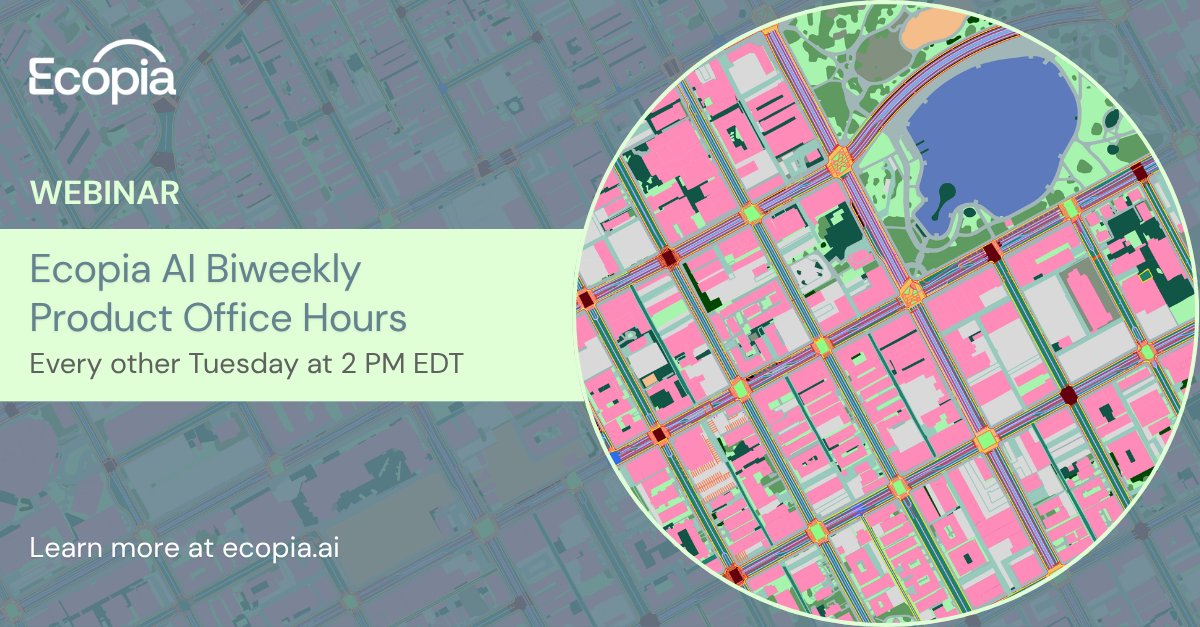
Want a closer look at Ecopia’s new online data portal?
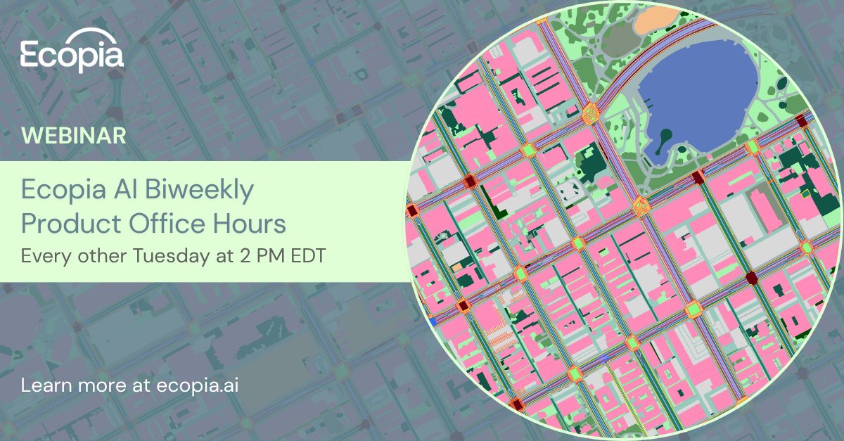
Join our biweekly Product Office Hours to ask questions, see what’s new, & discover how to get the most out of Ecopia's AI-powered data: hubs.ly/Q04dfXPN0
English
We're headed to the @ITSHeartland Annual Conference! 🚗🛣️🚌🛤️
Meet up with our team to see how Ecopia's AI map engine & online data portal empower organizations across North America with the insights needed to make transportation systems safer, more innovative, & more efficient.

English
English
🚨 Last chance to register! 🚨
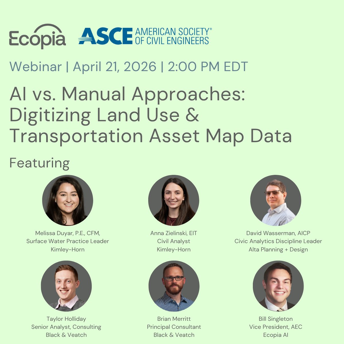
With real-world examples from @KimleyHorn, @Black_Veatch, & @altafieldnotes, our webinar with the @ASCE1852 will explore how AI mapping data is transforming workflows across hydraulic modeling, stormwater management, & transportation planning.
English
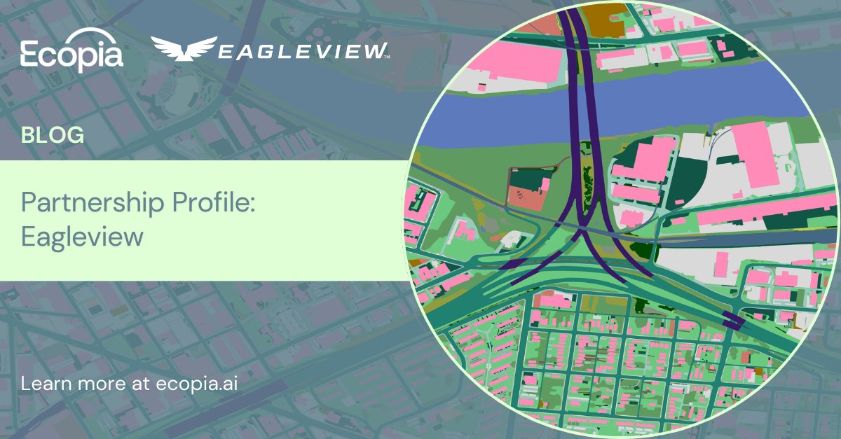
Ecopia’s global partner network of leading geospatial imagery providers enables us to extract high-precision mapping data for organizations around the world.
Our latest blog highlights our work with @EagleViewTech in the public sector: hubs.ly/Q04ccNn80
English
English
📢 New speakers announced! 📢
Join our webinar with @ASCE1852, @KimleyHorn, @altafieldnotes, & @Black_Veatch to hear how real firms are putting AI into action to improve accuracy, save time, and scale their workflows.

English
Request a demo: ecopiatech.com/contact
Join our biweekly product office hours: us06web.zoom.us/webinar/regist…
English
Ecopia’s new online data portal is here: a new way to source GIS & CAD data extracted from imagery with >95% geometric accuracy - no manual digitization required.
Request a demo to browse our entire data library of 75+ map layers, download free samples, & place orders ⬇️
English
Register now for the chance to chat with our product team, ask questions, and learn about new features: us06web.zoom.us/webinar/regist…
English
Read the full press release & schedule a demo: ecopiatech.com/resources/news…
English