Iran Conflict Maps

1.5K posts

Iran Conflict Maps banner
Iran Conflict Maps

Iran Conflict Maps

@EpicFuryMap

Covering Geolocations and Footage from the US & Israel operations against Iran, using Open Source Information.

Europe Katılım Mart 2026
117 Takip Edilen16.4K Takipçiler
Iran Conflict Maps
Iran Conflict Maps@EpicFuryMap·
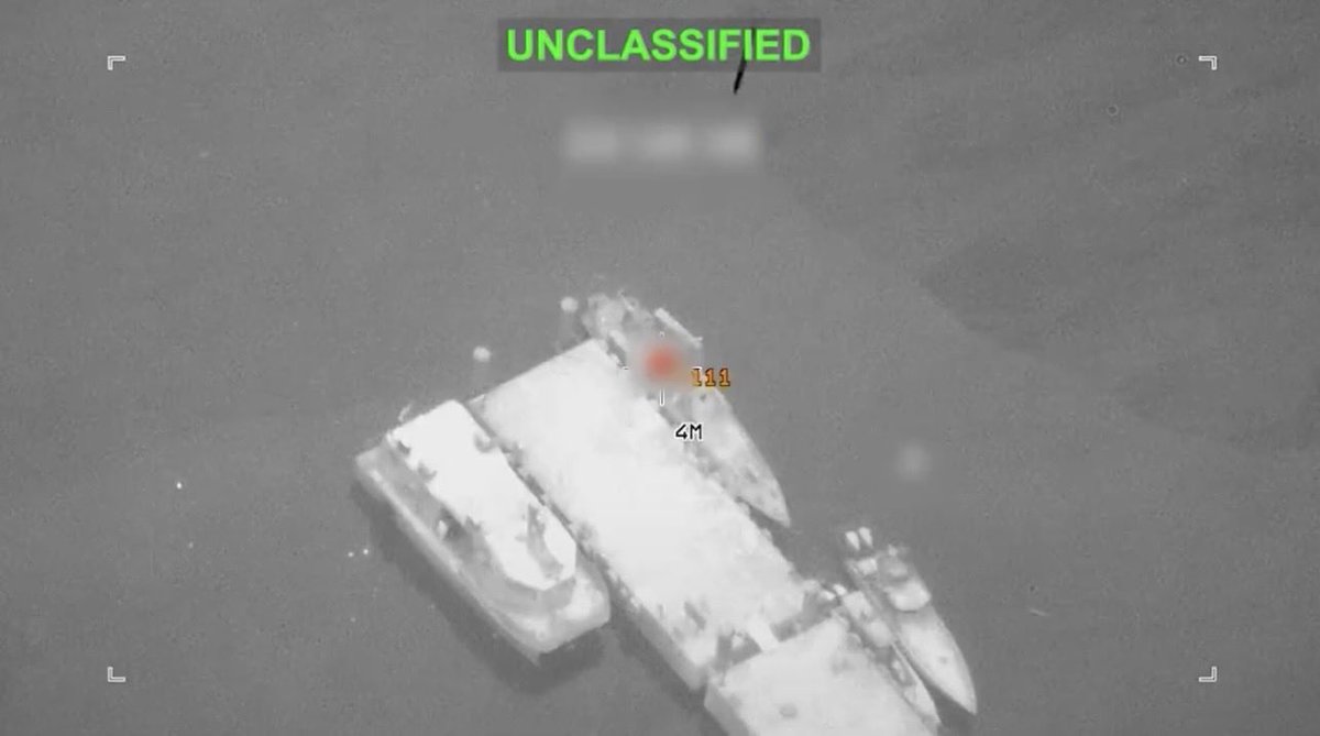
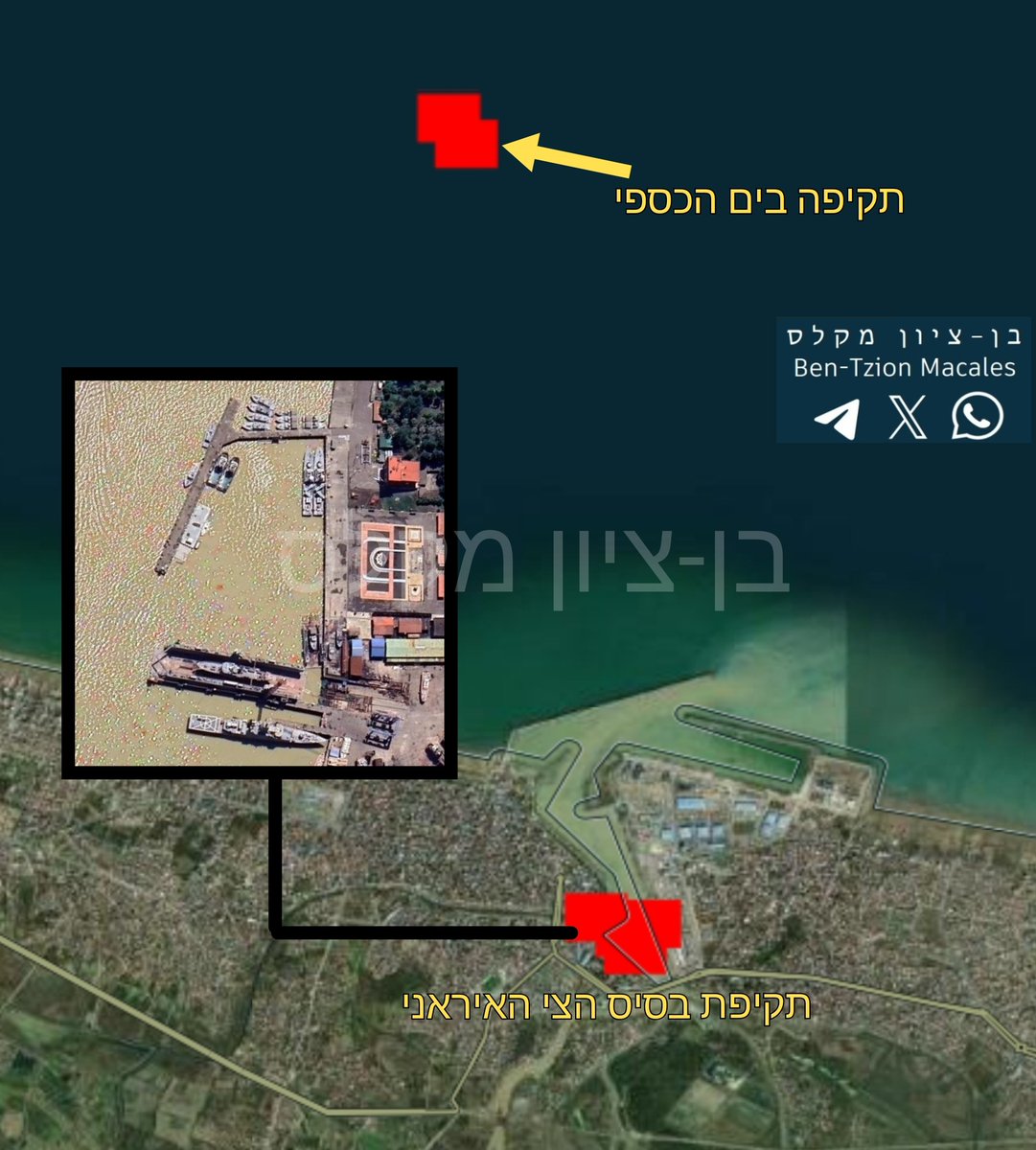
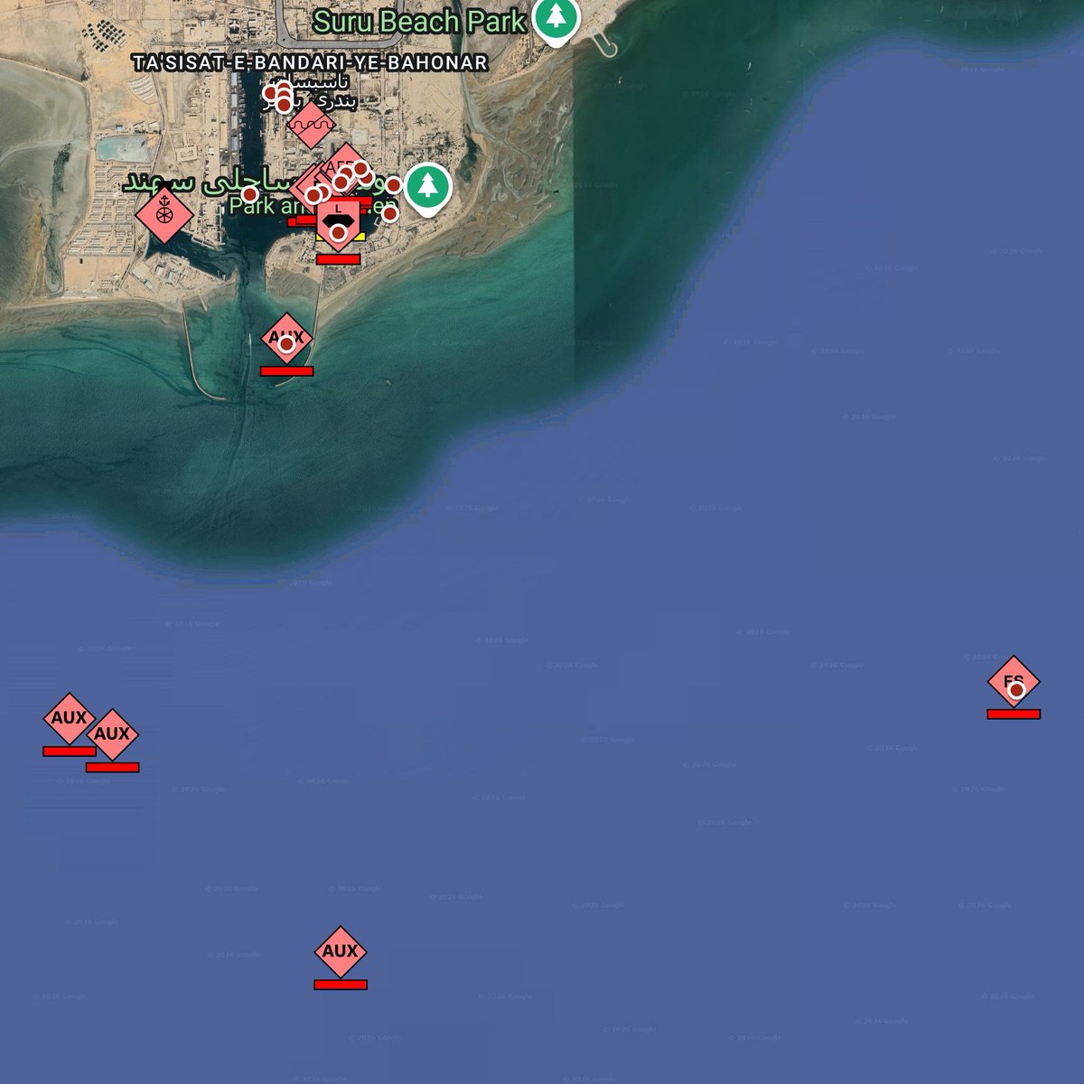
@GEOIMINT @GeoConfirmed 27.1463, 56.21101 - Hengam Class Landing Ship 27.14688, 56.21101 - Alvand Class Frigate IRIS Alborz 27.14667, 56.21143 - Kilo class submarine And the Zagros you should already have from but can now put an ID on it.
Iran Conflict Maps tweet mediaIran Conflict Maps tweet media
English
0
1
5
598
Iran Conflict Maps retweetledi
Aryan
Aryan@GEOIMINT·
Satellite imagery dated May 12, 2026 from Shahid Bahonar Port (maps.app.goo.gl/k8V4hSozMA7LbS…) shows multiple Iranian naval vessels damaged or destroyed, including: • 2 Hengam-class landing ships, both damaged beyond restoration • 1 Kilo-class submarine under overhaul, hit, extent of damage unclear • 1 Alvand-class frigate, IRIS Alborz (72), damaged beyond restoration • 1 Moudge-class SIGINT frigate, IRIS Zagros (313), partially sunk • Various smaller vessels, including Kaman/Sina class, among others
Aryan tweet media
English
7
35
132
15.5K
HN0222
HN0222@HpwWJVafCv83954·
テヘラン イランの攻撃を受けた模様  35.57927,51.57235
GIF
HN0222 tweet media
日本語
2
2
10
1.1K
Aryan
Aryan@GEOIMINT·
Satellite imagery dated May 17, 2026 from Shahid Bahonar Port (maps.app.goo.gl/dqzWCFmNpGcgwK…) shows the IRIS Makran, a forward base ship of the Islamic Republic of Iran Navy, with a ~30 m × 30 m hole in the deck alongside other heavy damage due to U.S.-Israeli strikes.
Aryan tweet media
English
9
34
169
20.6K
HN0222
HN0222@HpwWJVafCv83954·
シャフルードミサイル工場 3月6日から11日の間、単なる記入漏れかな 36.23325,55.26633 36.23551,55.26917 @EpicFuryMap
GIF
HN0222 tweet media
日本語
2
0
10
599
Iran Conflict Maps retweetledi
TankerTrackers.com, Inc.
TankerTrackers.com, Inc.@TankerTrackers·
To our best knowledge, Iran hasn't successfully exported* any crude oil by sea over the past 28 days. Some refined products managed to escape because US OFAC did not slap sanctions on those tankers. In addition, Kharg Island hasn't loaded any tankers since 2026-05-06 as a result of the oil leak which Tehran denied taking place. That said, there are still plenty of cargo-empty tankers both inside and outside the blockade perimeter; as well as plenty of cargo-laden tankers grouped together not too far away from Pakistan. *(Our updated definition of an export out of Iran is when a tanker exfiltrates the US Navy blockade line and doesn't return with the oil.) #OOTT #IranWar #Tankers
English
38
233
1K
126.2K
Iran Conflict Maps retweetledi
Soar
Soar@SoarAtlas·
🚨Soar Atlas has made available new high-res imagery from Mar 8 to explore, with a clearer view of the secret Israeli Airstrip in Western Iraq. Explore and Compare: tinyurl.com/56jd9fh5 The 850 meter runway can be seen constructed on a dry lakebed near al-Nukhayb.
English
8
116
435
158.7K
Iran Conflict Maps
Iran Conflict Maps@EpicFuryMap·
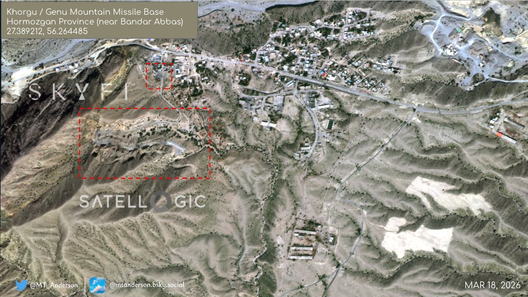
Epic Fury might be over, but the geolocations are still coming in. From two bases destroyed on the southern coast, to a Faror island's base being wiped, and three very large tankers burning near Jask - this is just a sample of what has been found over the past week. Datasets and analysis are now available. DM for more.
Iran Conflict Maps tweet media
English
0
53
196
18.6K
Iran Conflict Maps retweetledi
pregnant man emoji
pregnant man emoji@stopthetwigs·
Sepah Navy Special Force Base on Faror Island seen with multiple destroyed and damaged structures. Strikes occurred between 3/6 and 3/11. @GeoConfirmed @EpicFuryMap
GIF
pregnant man emoji tweet media
English
1
9
43
7.9K
Iran Conflict Maps retweetledi
Tom Bike
Tom Bike@tom_bike·
3 large US 🇺🇲 hit Iran 🇮🇷 crude carriers spotted TODAY burning in E Jask Bay at 25.6139, 57.9483 Suezmax burning bad, firefighting boat near smoking good VLCC & fuel leaking from smoldering VLCC. Right in front of IRGC naval base.
Tom Bike tweet mediaTom Bike tweet mediaTom Bike tweet mediaTom Bike tweet media
Ali@MerruX

Confirmed: US forces hit an Iranian oil tanker near the port city of Bandar Jask last night. The vessel is currently on fire. It remains unclear if other tankers were also hit, though smoke is rising from them. The tanker is visibly ablaze, there has been no response from Iran.

English
39
248
1K
368.9K
Iran Conflict Maps retweetledi
Lucas Tomlinson
Lucas Tomlinson@LucasFoxNews·
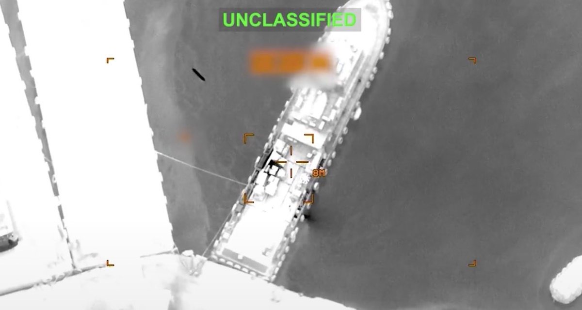
NEW VIDEO: One F-18 Super Hornet stops two oil tankers from running through the blockade to a port in Iran.
English
46
315
2.8K
334.3K
Iran Conflict Maps
Iran Conflict Maps@EpicFuryMap·
Sounds like Iran struck first, then US struck back. Appears over now.
Iran Conflict Maps tweet media
English
2
3
19
1.5K
Iran Conflict Maps retweetledi
pregnant man emoji
pregnant man emoji@stopthetwigs·
Iranian missile base and space center in Semnan Province seen with multiple destroyed structures. Strikes occurred between 3/19-3/29. @GeoConfirmed @EpicFuryMap
pregnant man emoji tweet media
English
1
5
26
2.1K