Sabitlenmiş Tweet

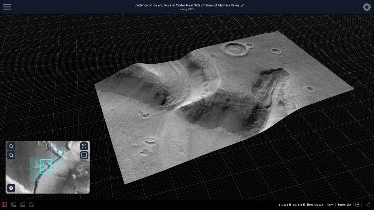
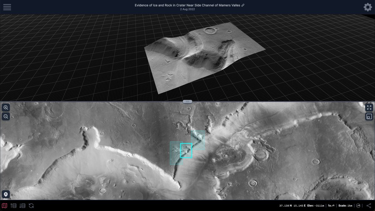
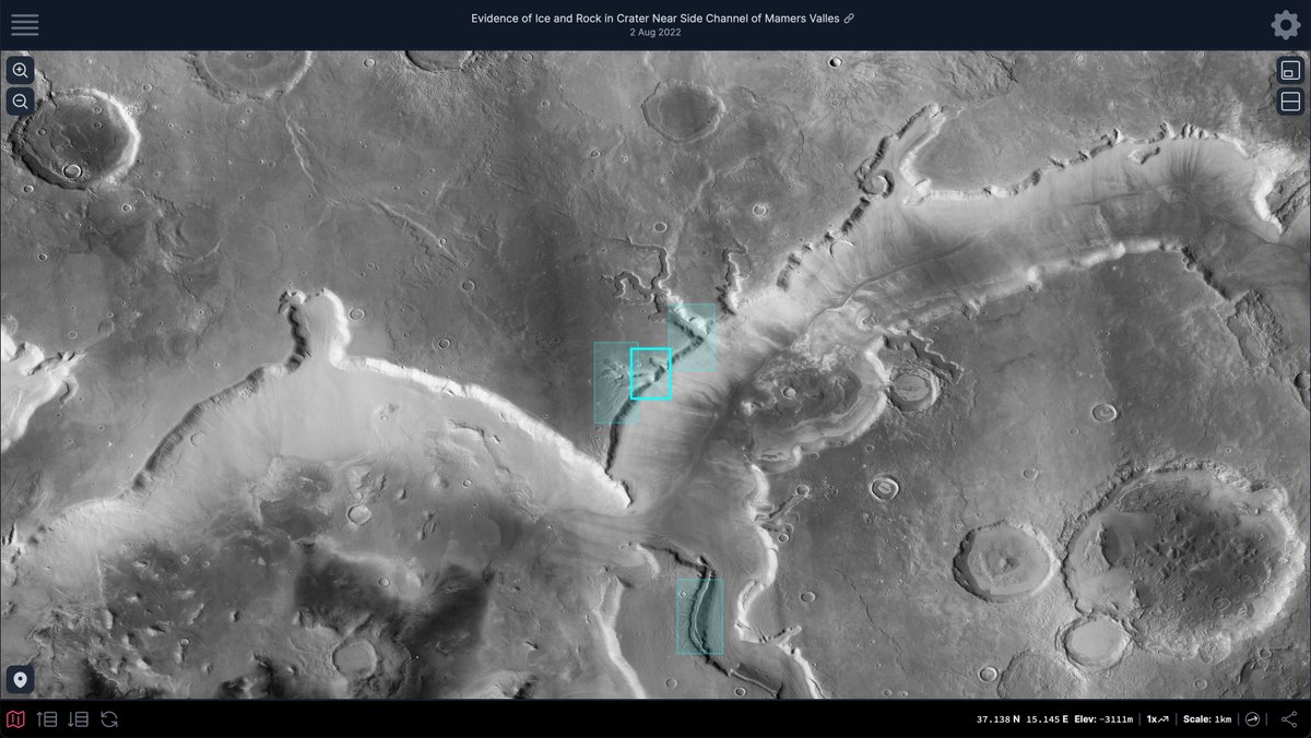
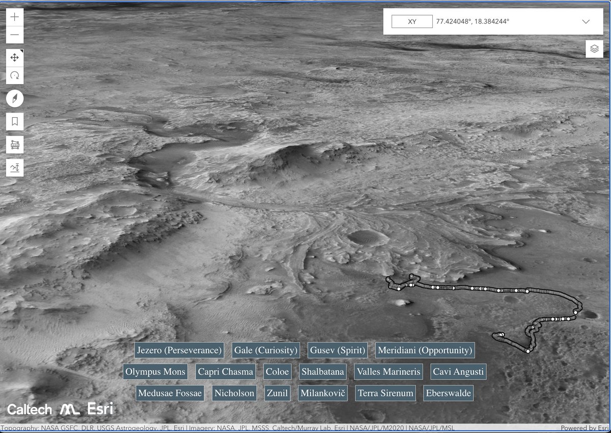
It's here! 5.7 trillion pixels of Mars from the amazing CTX camera in your web browser, or available for download. Everything you need is here: murray-lab.caltech.edu/CTX/. The whole planet in one image at high-resolution.
Bethany Ehlmann@bethanyehlmann
News alert, *very cool, beautiful* product: Thanks to @ErroneousTholus', a new seamless mosaic of Mars at 5m/px. Thanks to @NASA's Research & Analysis PDART for funding Caltech to make this easy/free to the world! For your science or Mars-flying pleasure tinyurl.com/marsmos
English