Sabitlenmiş Tweet
GISOpenCourseWare @[email protected]
3.5K posts
GISOpenCourseWare @[email protected]
@GISOCW
Platform for sharing #GIS #OpenCourseWare. #OCW #OpenEducation #OER #geospatial #OpenSource #QGIS #Python. Powered by @ihedelft. Moderated by @hansakwast.
Delft, Nederland Katılım Ekim 2020
137 Takip Edilen3K Takipçiler

GISOpenCourseWare @[email protected] retweetledi

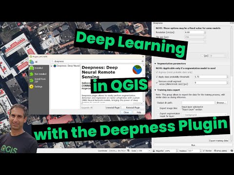
New video: explore deep learning models in #QGIS with the Deepness plugin. Segment or detect features from #RemoteSensing images. #GeoAI #MachineLearning #GIS youtu.be/xCKVqjeihbU
YouTube
Rotterdam, The Netherlands 🇳🇱 English
GISOpenCourseWare @[email protected] retweetledi

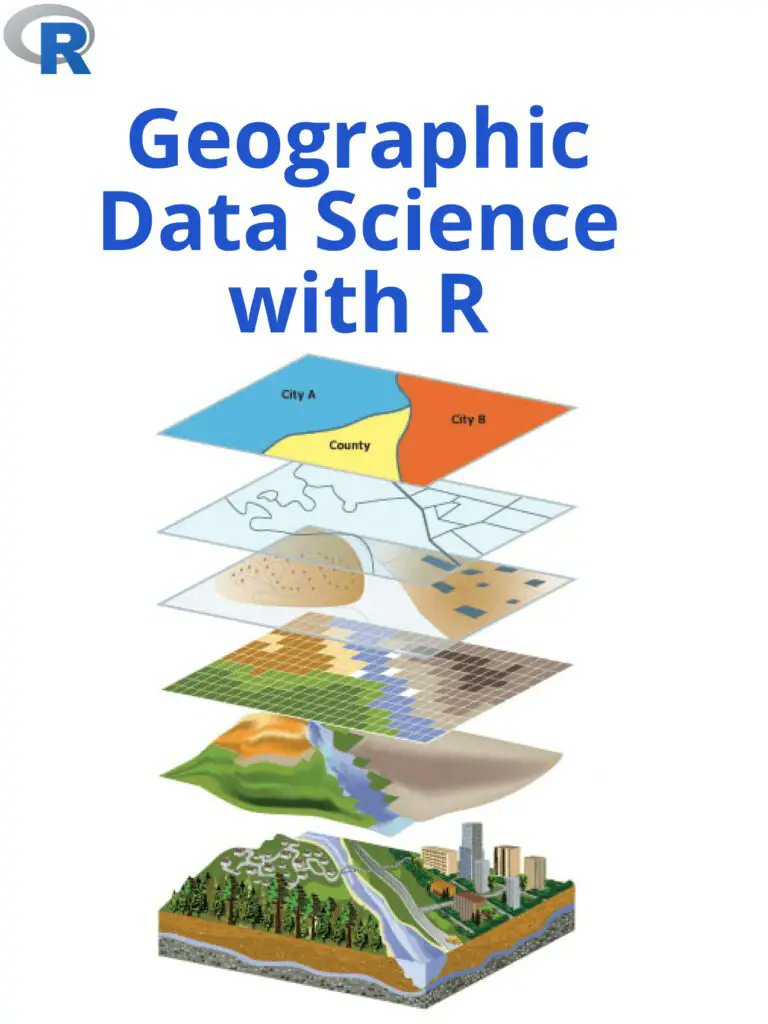
Visualizing and analyzing environmental change is an important application of Geographic Data Science with R. pyoflife.com/geographic-dat…
#DataScience #rstats #DataScientists #statistics #mathematics #spatialanalysis #datavisualizations #climatechange
English
GISOpenCourseWare @[email protected] retweetledi

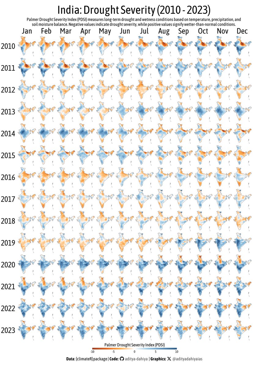
#dataviz #ClimateAction A facet graph for drought severity (PDSI) in India with #opensource #raster data.
Full Code🔗bit.ly/4aF3mRT
Data: climatologylab.org by @climate_guy @EmilyLyWilliams @dmitri_climate thru {climateR}
Tools #rstats #ggplot2 #sf #terra #tidyterra
English
GISOpenCourseWare @[email protected] retweetledi

🌟 Missed our webinar on #GeoNode on version 4.4?No worries! 🎥
🗺️ Dive into exciting new features:
✨ Support for 3D Tiles and Assets
🔌 The new QGIS Plugin for enhanced workflows
🛠️ Bug fixes and performance improvements
👉 Check out the recording and slides on our blog (first comment for recording and slides): wp.me/pfwItg-35f
#GeoNode #OpenSource #GIS #3DTiles #WebMapping #FOSS4G #osgeo @CesiumJS #GeoServer #MapStore #gischat #3D #webgis🚀

English
GISOpenCourseWare @[email protected] retweetledi

Google #EarthEngine Tutorial-109 Published: Mapping and Monitoring of PM2.5, using #Python API (#Xee)
youtu.be/IfLS-LdA3Os
YouTube
English
GISOpenCourseWare @[email protected] retweetledi

📢Data Training Webinar 2/19📢
Join us to learn how to work with @NASA_ICESat2 land and vegetation height data. A live SlideRuleEarth web service demo will show you how to use on-demand science data processing for ICESat-2 & other data.
Info/Register: go.nasa.gov/40VWxIr

English
GISOpenCourseWare @[email protected] retweetledi

After making a massive $7.19 in 4 months (less than the $10 payout threshold), I've decided to start ungating my Medium-hosted tutorials (it's not really in the knowledge-sharing spirit anyway!) and migrate them to my website, starting with... helenmakesmaps.com/post/how-to-ma…
English
GISOpenCourseWare @[email protected] retweetledi
New Video: Exploring the Kue plugin: an #AI Chatbot for #QGIS by @BuntingLabs 🌍✨
Simplify geoprocessing tasks with AI. Highlights: installation, base maps, styling, analyses & more.
🔔 Subscribe for more! #QGIS #AI #GeoAI #GIS youtu.be/hQJ1SuyyvT8
YouTube
Rotterdam, The Netherlands 🇳🇱 English
GISOpenCourseWare @[email protected] retweetledi

Pour vous permettre de réaliser votre nouvelle bonne résolution de participer à la communauté #QGIS, nous prolongeons l'appel à proposition au 29/01!
On compte sur vous!
talks.osgeo.org/qgis-french-us…
#QGISFR2025
Français
GISOpenCourseWare @[email protected] retweetledi

Cheat sheet for GDAL/OGR command-line geodata tools github.com/dwtkns/gdal-ch…
English
GISOpenCourseWare @[email protected] retweetledi
Google #EarthEngine Tutorial-106 Published: #Xee (#xarray) Library in #GEE #Python API
youtu.be/-ZPAW0IEeiA
YouTube
English
GISOpenCourseWare @[email protected] retweetledi

🌍 Leafmap Tutorial 103: Adding a custom colormap to a raster image!
📹 Watch the Video: youtu.be/FIOmNsf_A5o
📓 Explore the Notebook: leafmap.org/notebooks/103_…
#Geospatial #Leafmap #Python #DataViz

YouTube

English
GISOpenCourseWare @[email protected] retweetledi
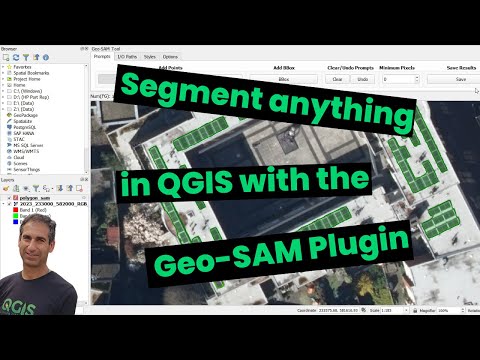
New video: segment anything in #QGIS with the Geo-SAM plugin. With examples to segment solar panels in cities and parcels in rural areas.
#GeoAI #AI #GIS #RemoteSensing
youtu.be/GSKmK7qERUw
YouTube
Rotterdam, The Netherlands 🇳🇱 English
GISOpenCourseWare @[email protected] retweetledi
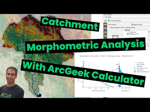
New video! Explore the ArcGeek Calculator plugin by @franzpc to map streams & catchments, analyze their #morphometry, and create hypsometric curves in #QGIS. 🌍📊 youtu.be/9ItZ7R0KN74 #QGISHydro #GIS #Hydrology #CatchmentAnalysis
YouTube
English
GISOpenCourseWare @[email protected] retweetledi
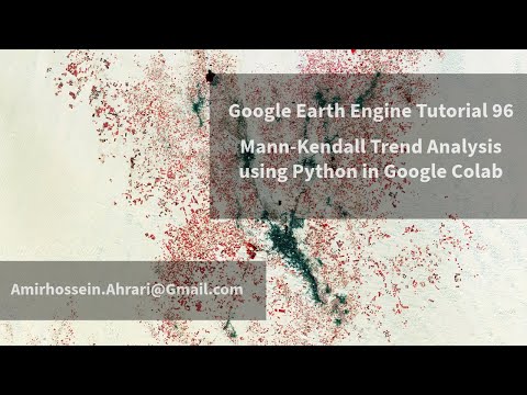
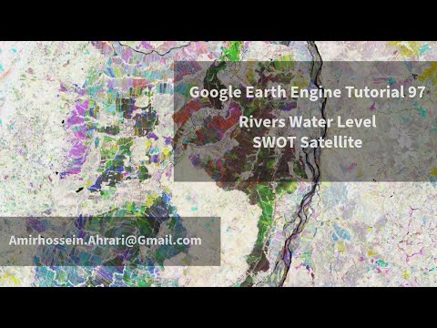
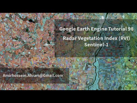
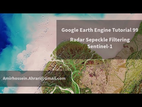
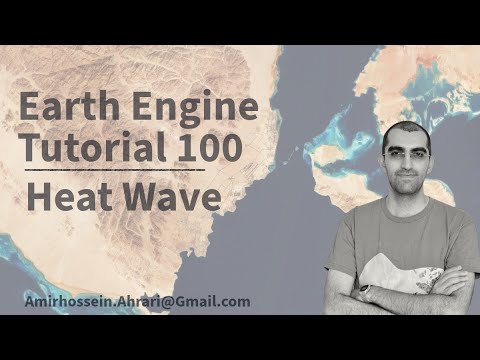
#EarthEngine Tutorials Published in Dec 2024:
- Mann-Kendall Trend: youtu.be/Fb4whz4lz8s
- River Level: youtu.be/lDRLmZHTtrY
- #SAR Vegetation Index: youtu.be/qpirvICgpCU
- Speckle Filtering: youtu.be/WMBD9J8UhMw
- #Heat Wave: youtu.be/QvfN85UgPLA
YouTube
YouTube
YouTube
YouTube
YouTube
English
GISOpenCourseWare @[email protected] retweetledi
MapLibre GL JS Offline Tiles: Adding Realism with Terrain Visualization keimaps.com/articles/self-…
English
GISOpenCourseWare @[email protected] retweetledi
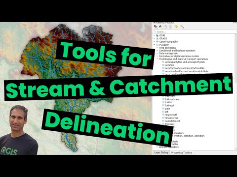
📹 Check out my final video of 2024! Learn about custom workflows for stream & catchment delineation in #QGIS with tools from #GRASS, #SAGA, #PCRaster & #WhiteboxTools.
🌍💡Discover the benefits of #OpenSource tools over proprietary software. #QGIS #GIS
youtu.be/s57P3GZTOTA
YouTube
Rotterdam, The Netherlands 🇳🇱 English
GISOpenCourseWare @[email protected] retweetledi
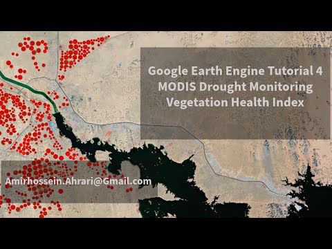
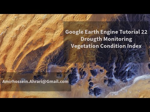
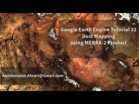
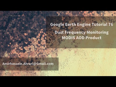
#EarthEngine Applications about #Drought and #Dust:
- Drought Monitoring: youtu.be/i1TkiMMK-OU
- Droutgh Mapping: youtu.be/TwesbdGkL1M
- Drought Classification: youtu.be/TwesbdGkL1M
- Dust Mapping: youtu.be/-7y1C2zRo-s
- Dust Event: youtu.be/atRMDr32Pko
YouTube
YouTube
YouTube
YouTube
English
GISOpenCourseWare @[email protected] retweetledi

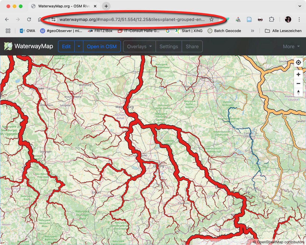
Maps Mania: Die Wasserstraßenkarte / The WaterwayMap geoobserver.de/2024/12/17/map… #WaterwayMap #osm #openstreetmap #gistribe #gischat #fossgis #foss4g #OSGeo #spatial #geospatial #mapping #DataViz #gis #geo #geoObserver pls RT via @gmapsmania
Deutsch
GISOpenCourseWare @[email protected] retweetledi
🎉 I just wrapped up teaching the Introduction to GIS Programming course this semester at the University of Tennessee! All course materials and lecture recordings (26 hours) are freely available online.
Explore the links below to dive into #geospatial 🌍 data visualization and analysis using #opensource Python packages:
🌐 Course Website: geog-312.gishub.org
📂 GitHub Repository: github.com/giswqs/geog-312
📺 YouTube Playlist: bit.ly/intro-gis-prog…
Join me in exploring the world of geospatial analysis with #python and #jupyter!

English