GeoSignum retweetledi

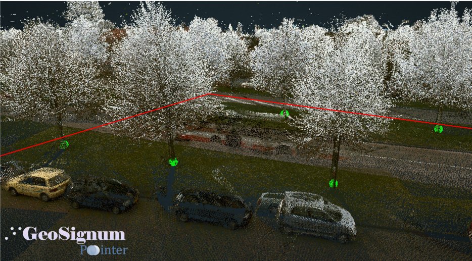
Watch our latest #UNIGIS u_Lecture #webinar 'The role of LiDAR technology in asset mapping in urban areas' by Dogan Altundag on our channel:
▶️gotostage.com/channel/f2475f…
@UNIGIS_World @unigisamsterdam @geosignum
English
GeoSignum
154 posts
@geosignum
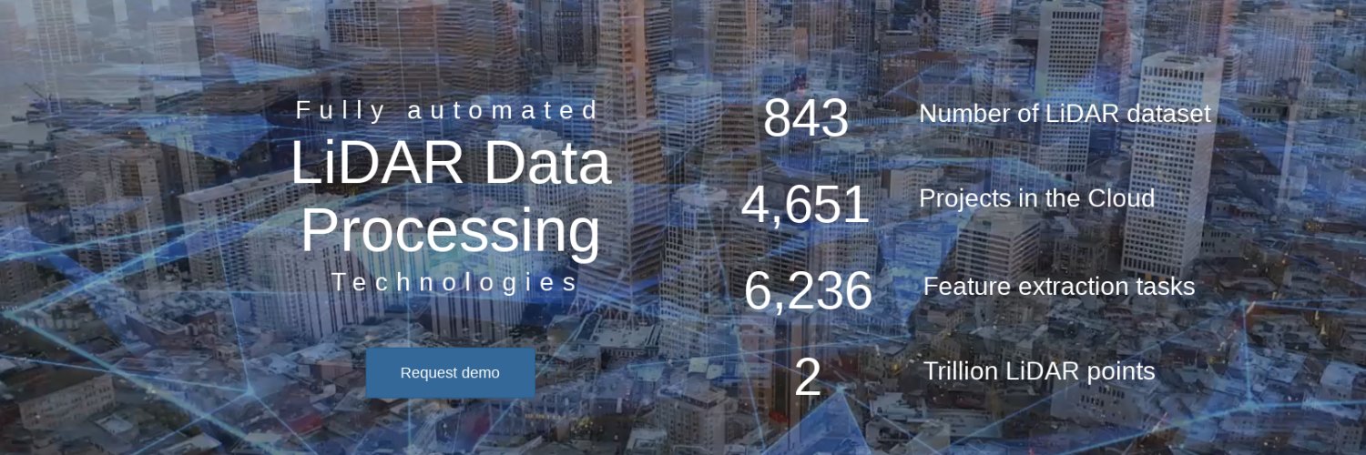
GeoSignum develops technologies to automatically model and extract geographical objects and information from 3D laser datasets in the cloud.


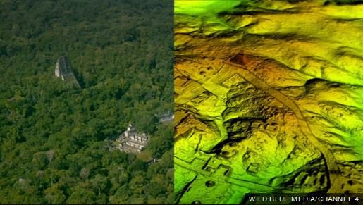


Shallow, active earthquake faults are being discovered all over Oregon and Washington. bit.ly/2AjAMqR