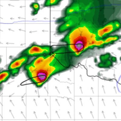
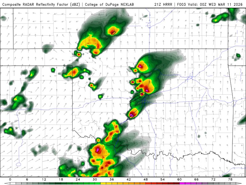
HRRR@HRRRing·19hA morning round and an evening round of long track supercells should be perfect for @NWSDodgeCityÇevirGIF English02301.1K1
HRRR retweetlediReilly Dibble@Simcoe12_Wx·19hYeah thats a worse case scenario...Çevir English167397649.4K54
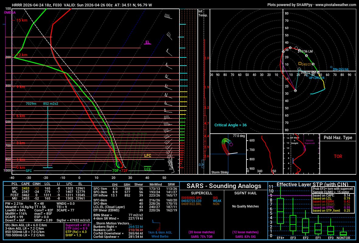
HRRR retweetlediClint Hendricks IV 🌪️@Clint_wx·17 NisDo NOT look at the 0z HRRRÇevirGIF English3415213.6K4
HRRR@HRRRing·17 NisÇevirGIFGIFJeff Frame@VORTEXJeffI think that any storms forming near the triple point in KS/OK tomorrow will quickly become elevated given a southerly component of midlevel flow and a nearly east-west oriented southward moving strong cold front. ZXX12544.9K1
HRRR retweetledibrendon@brendonme·25 Haz@HRRRing Well, the cams were consistently inconsistent, so that's a bad signÇevir English0162.8K
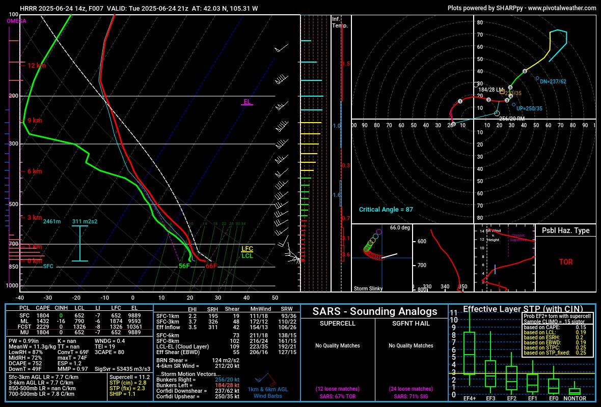
brendon@brendonme·25 Haz700s over 12C I don't know that means, but it sounds badÇevir English21191.6K
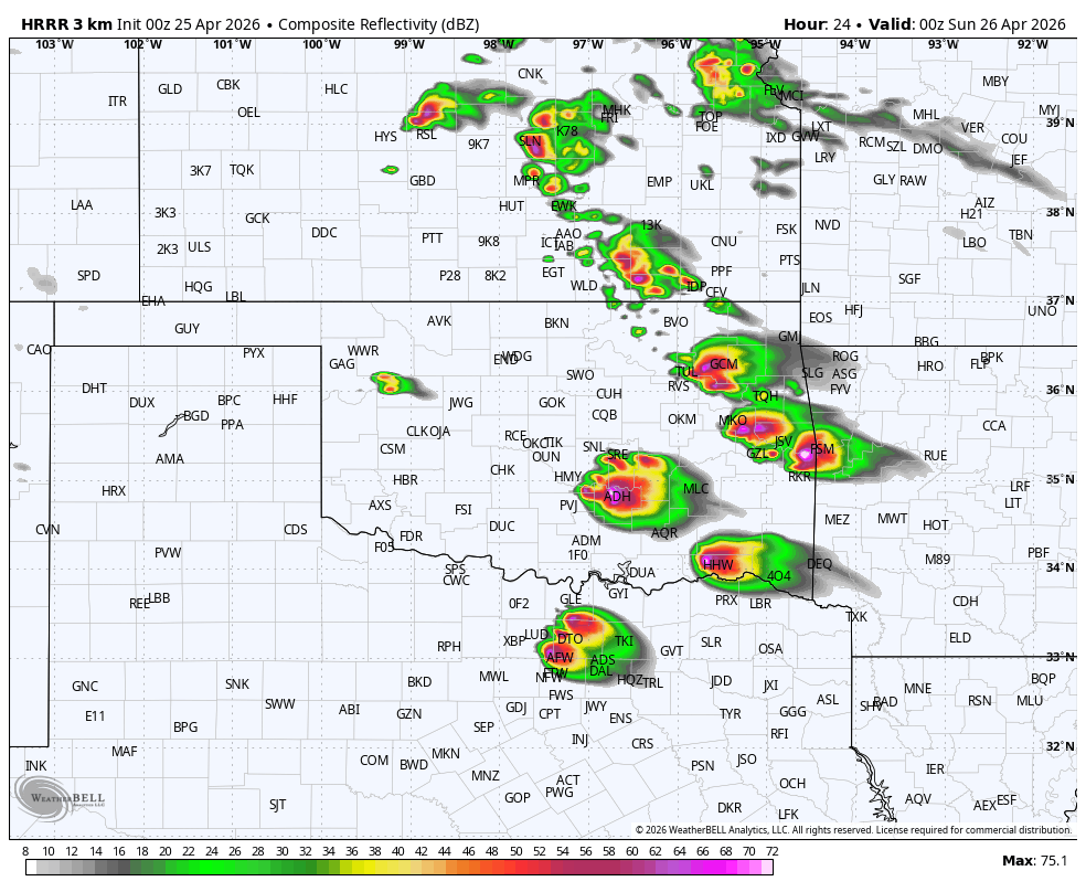
brendon@brendonme·24 HazTomorrow is now todayÇevirbrendon@brendonmeTomorrow? Bust Hope that helps English2151.6K
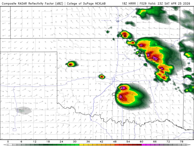
HRRR@HRRRing·22 HazYawn. Sounds boring. I’ll be mixing out some boundary layers if anyone needs me.Çevirnam3km@Nam3kmModelJust declared war on @HRRRing be ready! English13374.6K1