Sabitlenmiş Tweet

I do believe that it's time to claim this X's Weather guy.
English
Jeremy StormifyWX
12.4K posts

@JeremyStormWX
Jeremy Stormify launched in 2021. The X Page for Severe Weather. WeatherWise. X's Weather guy. Unbiased. Fair and honest. Accurate Weather and No AI.


My photo of the home leveled west of Union Center, WI #wiwx


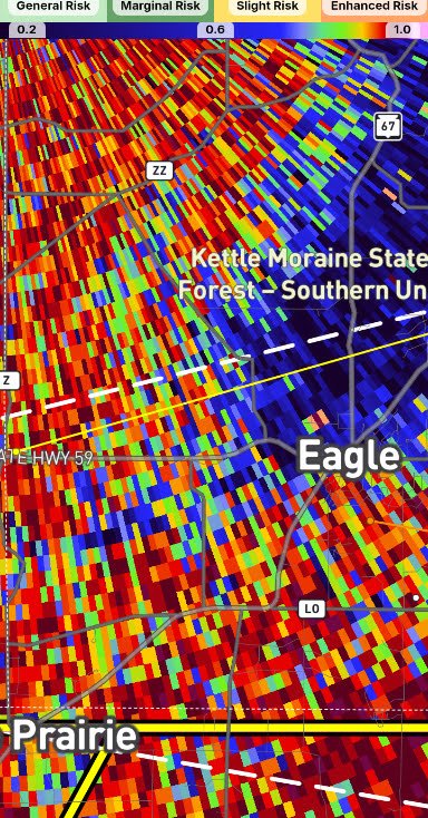


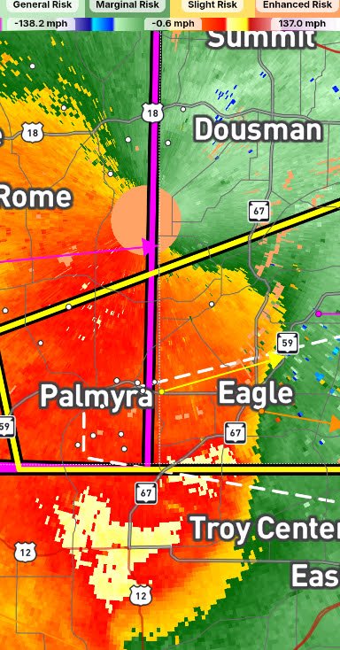
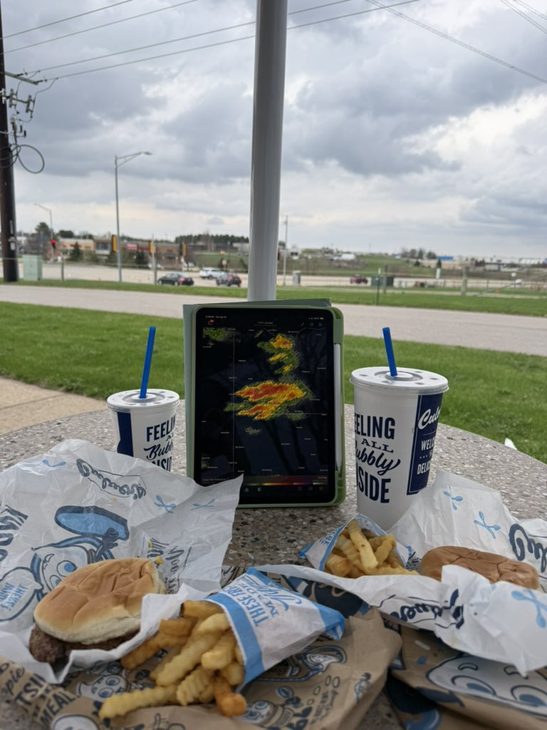
A 414 Day to remember.