
Jimmy Alston
2.3K posts
Jimmy Alston
@JimmyAlstonEC
Director of Agronomy Eagle Creek Golf and Country Club Horry-Georgetown
Naples, FL Katılım Haziran 2017
1.8K Takip Edilen1.3K Takipçiler


English

English


English

@GraemeBaxterArt @EagleCreekGCC I heard my brother @JimmyAlstonEC shaped, irrigated, planted, grew that hole in, and helped you frame your painting all in 1 week. Is that true maestro?
English

I’m in Florida at the moment to take photos for a commissioned painting and showing some of my Florida paintings. Today’s painting is Eagle Creek Golf and Country Club @EagleCreekGCC 18th hole, a gem hidden between Marco Island and Naples Eagle Creek Golf Club

English

My trainer( Cut me some slack. Yes I have a trainer. It is way cheaper than psychoanalysis) told me I am good against limbic friction( maybe he is a psychoanalysist after all?). I said thank you i have been a superintendent for many years.
Florida, USA 🇺🇸 English
@TravisShaddox Soil types dictate irrigation amounts and frequencies?
English

Is deep & infrequent watering really better for turf? Research suggests it might not matter as much as we thought! For maximum quality, lighter, frequent watering may be the way to go. #TurfTips #TurfTips
Full Video: youtube.com/live/c0lHi-73W…

YouTube
English

TROPICAL UPDATE: New area from the NHC has the potential to become a named storm over the next week. Next up is #Erin on the list. Here are my thoughts as of Friday evening:
1. The new tropical wave will be heading across the Atlantic over at least the next 5-10 days. During that time, this will likely become a named storm. Even has the potential to become the first hurricane of 2025 in the Atlantic.
2. There has already been a lot of hype with some sharing scary worst-case scenario model runs showing a major hurricane slamming into the United States. They do this with the hope they get a lot of shares, likes, engagement to make money from and gain followers. Here's the truth...there's not a single person on this planet that knows where a hurricane will go 2 weeks out. That's why we don't look at those single model runs. They're too erratic, inconsistent. They frequently flip-flop.
3. The way to go is by looking at ensembles, or track possibilities from the American and European model. For example, shown below in the 2nd image are all the current possible tracks from the European model. There's a huge spread down the road, showing disagreement, because a) it hasn't formed yet and b) there are too many moving parts and variables in the atmosphere. Even a small miscalculation in a weather element's strength, timing and location can cause a domino effect with errors hours and days after.
4. Is the United States a possibility for landfall? This far out, of course. Model possibilities have shown anywhere from Texas to Florida to Maine. You know what the models also show that won't get as much publicity? Curving out to sea and not impacting any land (I like that one the best).
5. *IF* it does try to approach the United States, timing would be the week of August 18-24th (depending on location).
For now, we're fine. Nothing to get all stressed over this early. Models will have a better handle on this after it forms. Avoid the internet hype and enjoy your weekend! I'll keep you updated every step of the way.
- Matt Devitt WINK Weather

English
Say it wit me: DROP THE MIC BADASSERY RIGHT CHERE!!!!
Jimmy Alston@JimmyAlstonEC
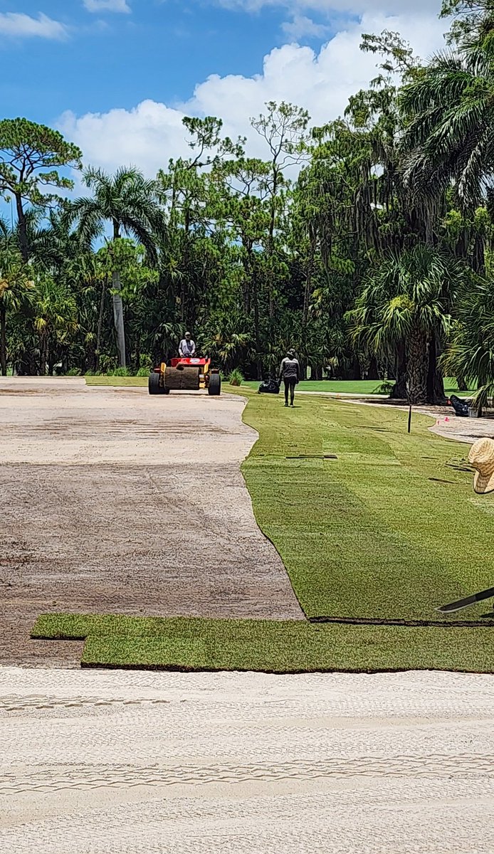
Lookey here @turfmonkeyboy , I grew in my sprigs during the truck ride down from Pike Creek!
English
Lookey here @turfmonkeyboy , I grew in my sprigs during the truck ride down from Pike Creek!
English
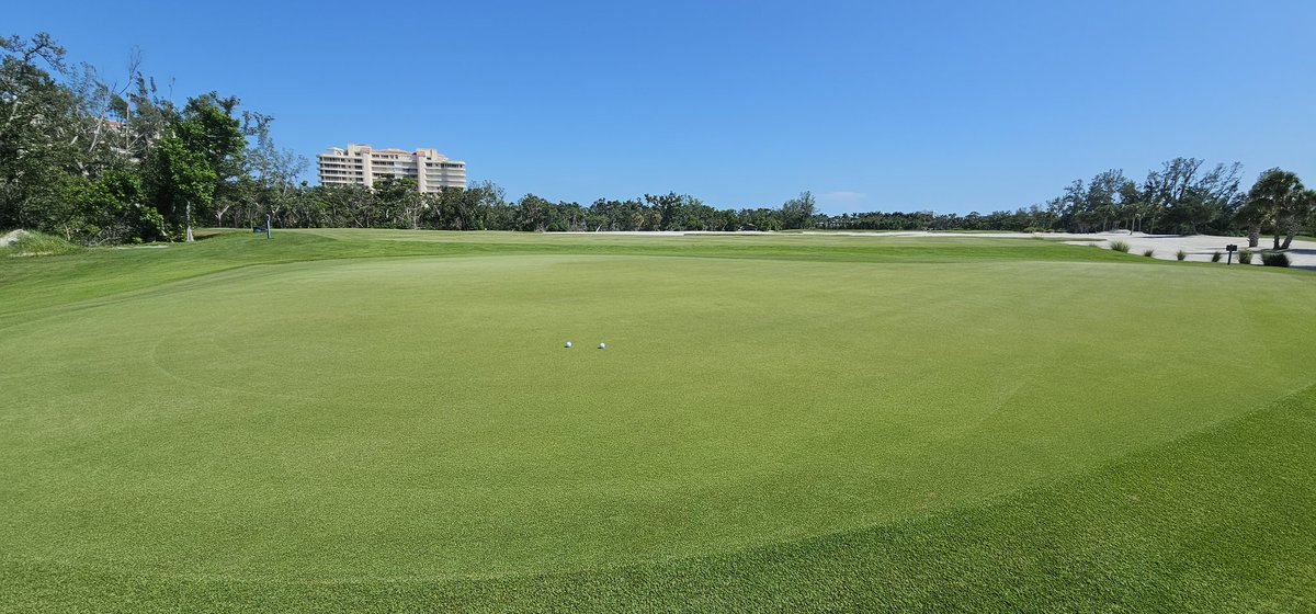
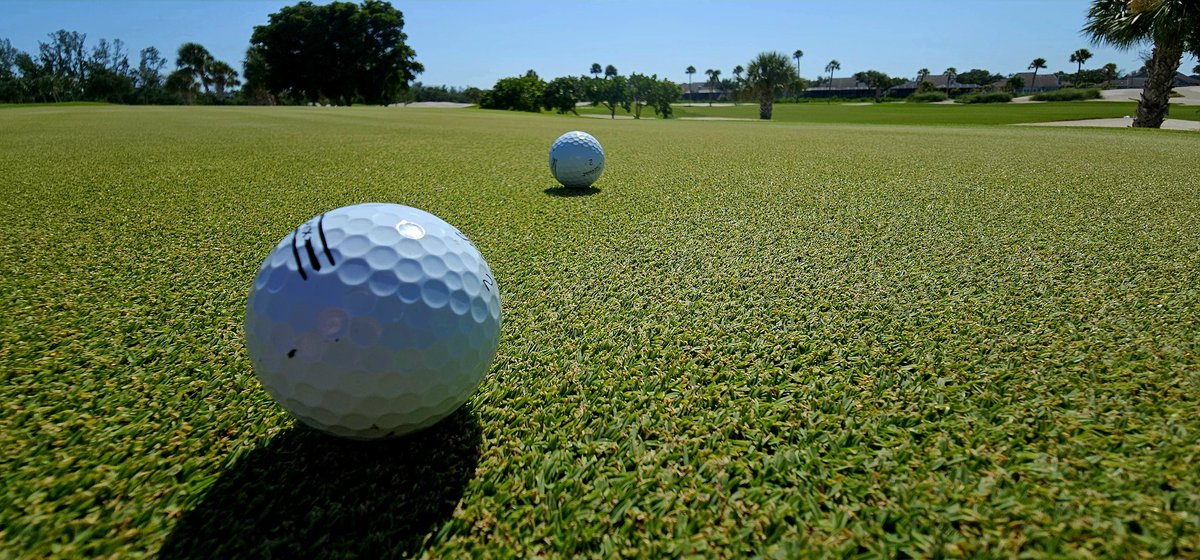
Serious question: Can this green be great if no one is using it?


Longboat Key, FL 🇺🇸 English
English

When it comes to tightening up our cleanup passes there is only one trimmer we trust. #Onemoreblade @PhilipsNorelco @USGAGrnSection
English
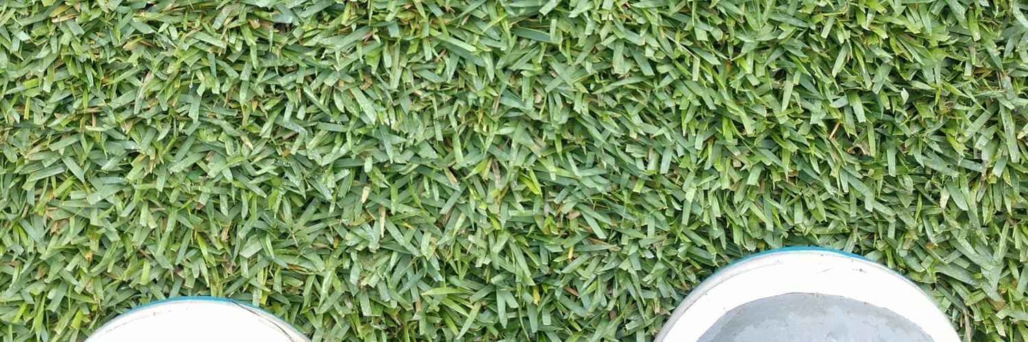
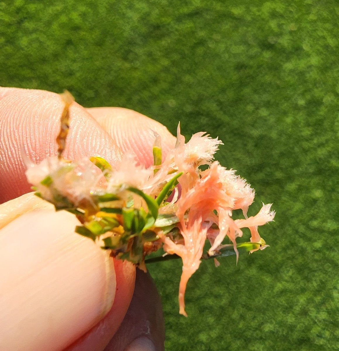
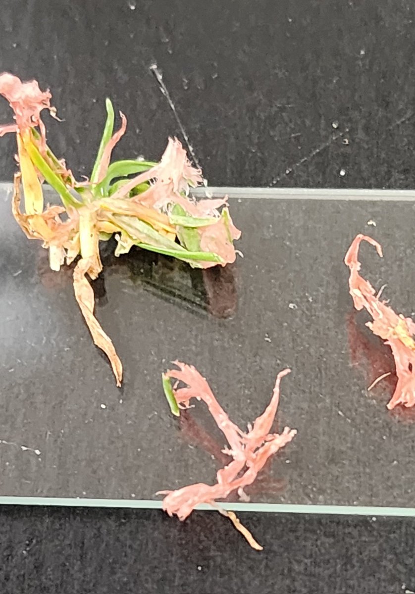
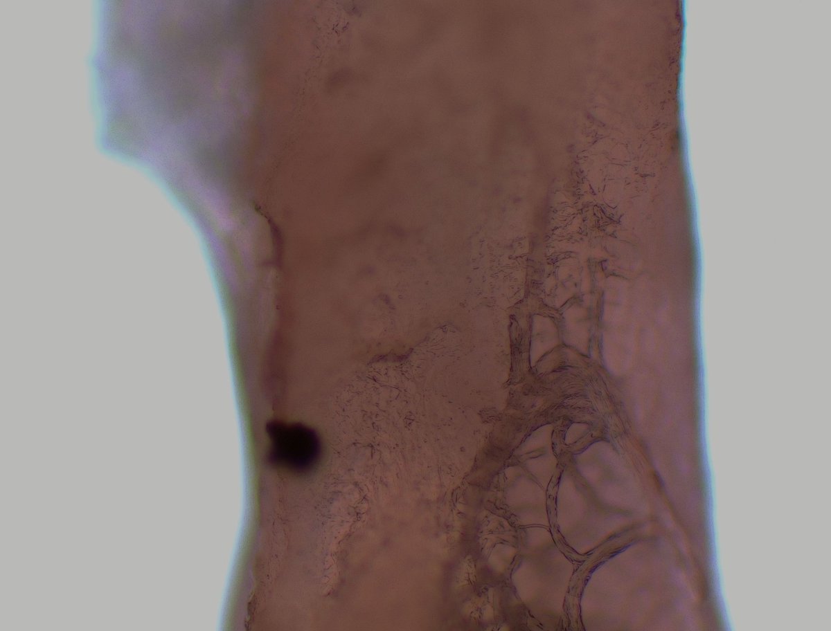
Was scouting this morning and thought my Paspalum was flowering! Any ideas? Strangest thing Ive ever seen!

English
@Gogreen32 @mac_corey12402 Thankful for their asses, wasnt on my course...at a buddy's course in Naples
English

@JimmyAlstonEC @mac_corey12402 That’s terrible sorry to see that Jimmy.
English


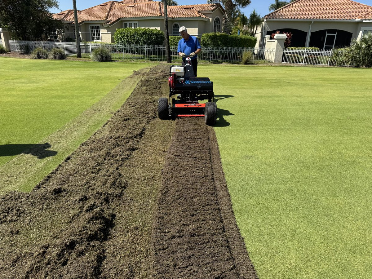
Fraise mow trial on 3 different zoysia varieties at 4 different depths. Topdressing all 3 varieties with either straight sand or a 70:30 sand/comand blend to evaluate recovery across all plots.

English