Kimberly Miller

11.8K posts

Kimberly Miller banner
Kimberly Miller

Kimberly Miller

@KMillerWeather

Weather, environment and critter reporter for USA Today Florida. Certificate in Weather Forecasting, Penn State. Surfer, dog walker. University of Arizona.

West Palm Beach, FL Katılım Mayıs 2015
1.2K Takip Edilen4K Takipçiler
Kimberly Miller retweetledi
Bryan Norcross
Bryan Norcross@bryannorcrosstv·
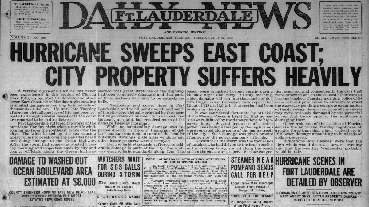
100 YEARS AGO TODAY the 1926 Nassau Hurricane was sweeping north along the Florida coast. Miami Beach and Fort Lauderdale took hits, and the storm was heading north. This hurricane is largely forgotten because of the devastating hurricane impact on Miami to come less than 2 months later. More at HurricaneIntel.com
Bryan Norcross tweet mediaBryan Norcross tweet mediaBryan Norcross tweet mediaBryan Norcross tweet media
English
1
3
16
1.3K
Kimberly Miller retweetledi
Bryan Norcross
Bryan Norcross@bryannorcrosstv·
100 YEARS AGO TODAY a Cat 4 hurricane was slammed into Nassau head on. It was the worst storm there in memory with widespread devastation. Winds increased in Miami Beach that afternoon. It was Mother Nature's opening salvo of the epic hurricane season of 1926 for Miami. More at HurricaneIntel.com
Bryan Norcross tweet mediaBryan Norcross tweet mediaBryan Norcross tweet media
English
2
14
55
14K
Kimberly Miller retweetledi
Bryan Norcross
Bryan Norcross@bryannorcrosstv·
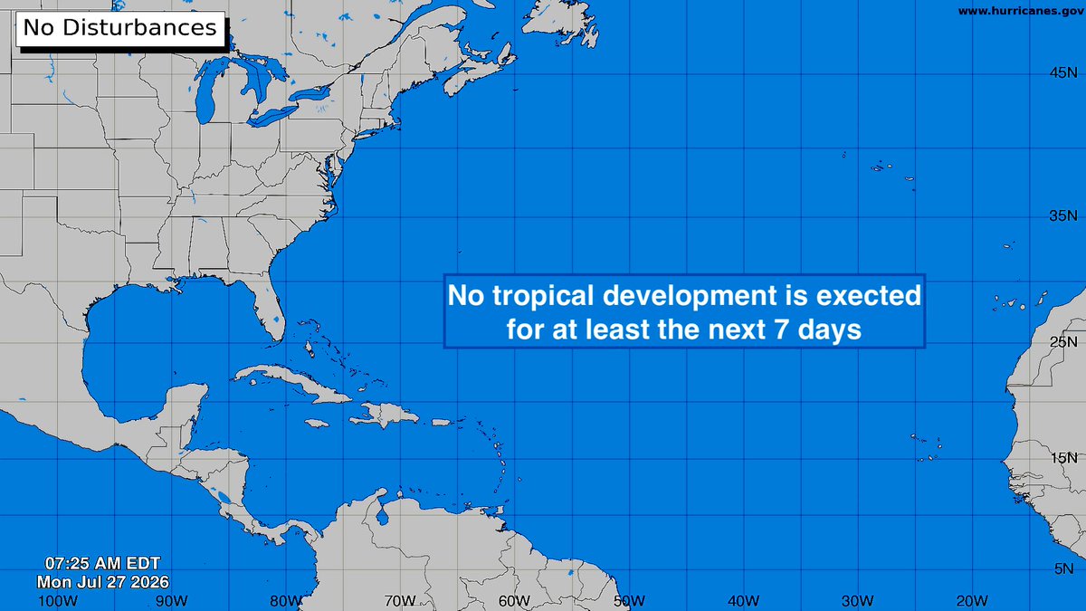
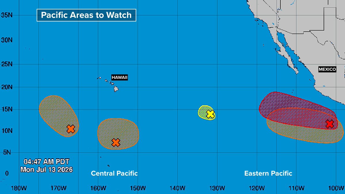
TROPICS UPDATE: While the Atlantic is on tropical snooze, the Pacific is busy. Hurricane #Fausto is heading toward #Hawaii. It will be a weak version when it reaches the state about Tuesday. The odds favor it tracking offshore just to the north of the islands, but it will be close. More at HurricaneIntel.com
Bryan Norcross tweet mediaBryan Norcross tweet mediaBryan Norcross tweet media
English
0
2
14
884
Kimberly Miller retweetledi
Bryan Norcross
Bryan Norcross@bryannorcrosstv·
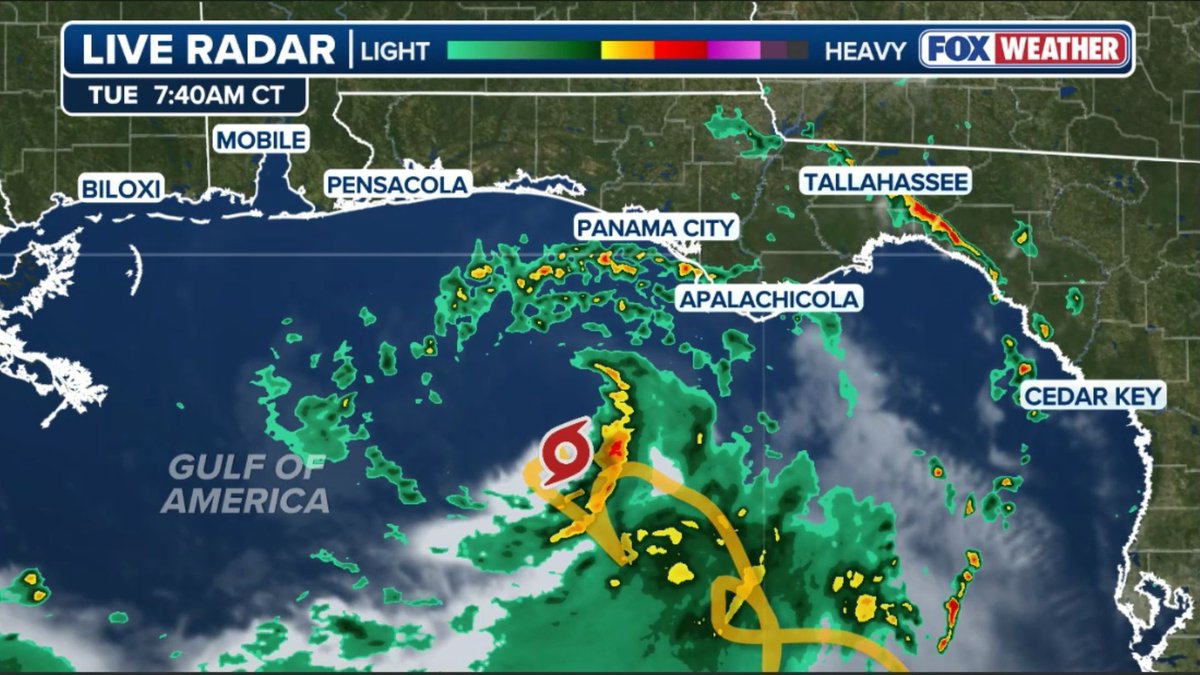
TROPICS UPDATE: Disheveled Tropical Storm #Bertha is flexing it's muscle a bit, but the strong and hostile upper winds will increase, limiting intensification. Also, the worst weather will stay offshore. Still, water rise and dangerous surf are likely in the northern Gulf. More at HurrricaneIntel.com
Bryan Norcross tweet mediaBryan Norcross tweet mediaBryan Norcross tweet mediaBryan Norcross tweet media
English
0
6
15
1.5K
Kimberly Miller retweetledi
Andy Hazelton
Andy Hazelton@AndyHazelton·
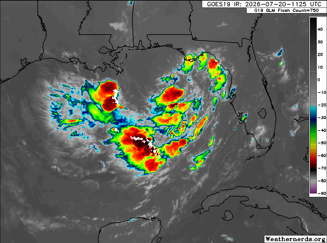
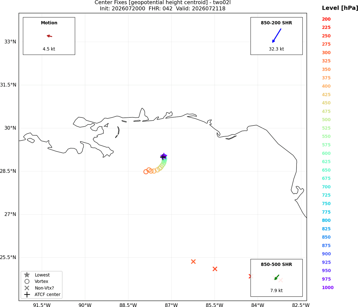
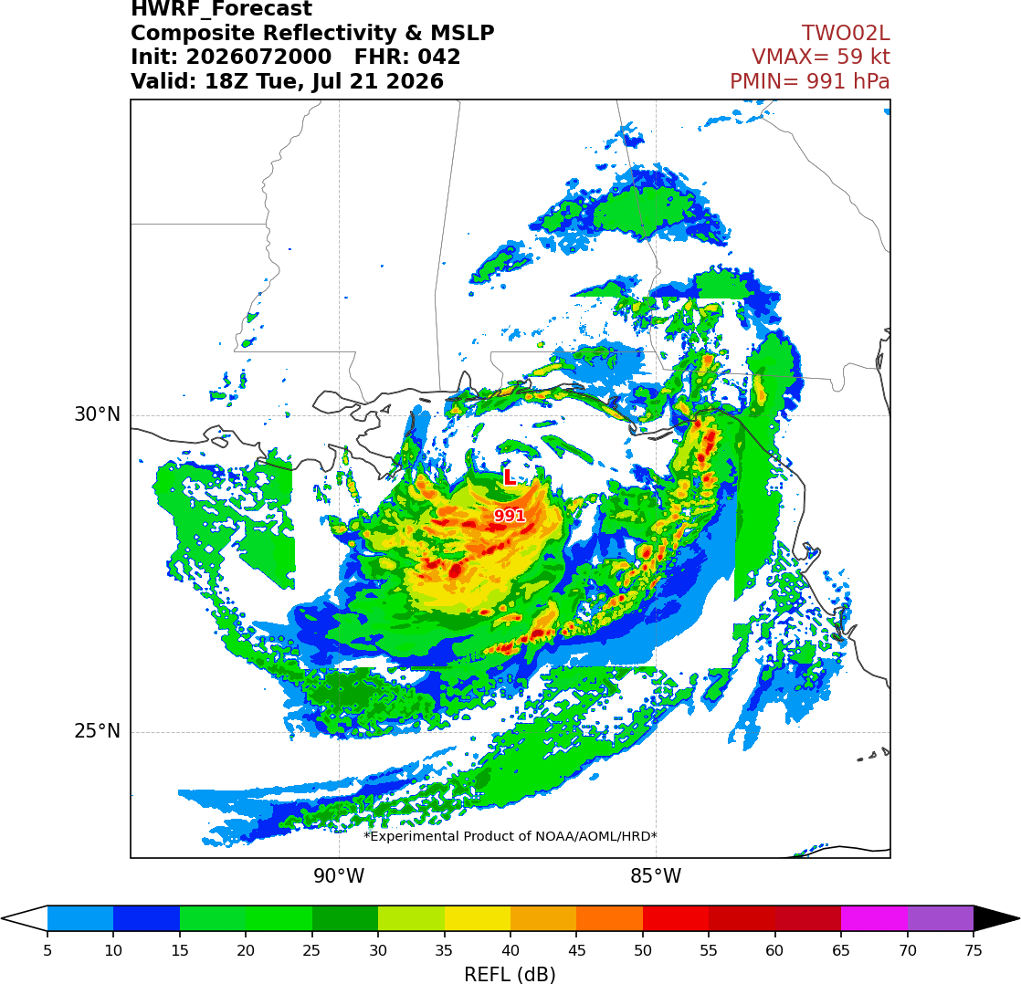
A little more centralized convection with #TD2 this morning. I would imagine it'll get named soon. The storm is showing signs of dealing with NE shear, though, so I don't expect RI into a hurricane. Even the more aggressive models like HWRF are showing pretty significant vortex tilt and asymmetry thanks to that persistent NE shear. The shear direction also means that the rain should mostly be confined offshore until the center gets close to landfall, which will hopefully help lessen flooding impacts.
Andy Hazelton tweet mediaAndy Hazelton tweet mediaAndy Hazelton tweet media
English
3
17
119
8K
Kimberly Miller retweetledi
Bryan Norcross
Bryan Norcross@bryannorcrosstv·
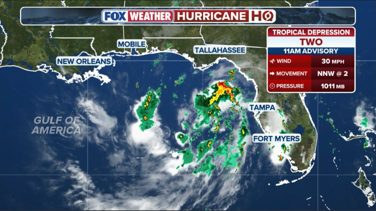
UPDATED TROPICS: @NHC_Atlantic has pulled the string on Tropical Depression TWO with watches issued for much of the Florida Panhandle. The system looks likely to strengthen into Tropical Storm #Bertha in the next day or two. The full revised update at HurricaneIntel.com
Bryan Norcross tweet mediaBryan Norcross tweet mediaBryan Norcross tweet mediaBryan Norcross tweet media
English
1
3
6
820
Kimberly Miller retweetledi
National Hurricane Center
National Hurricane Center@NHC_Atlantic·
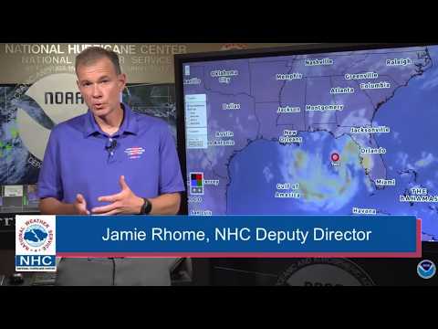
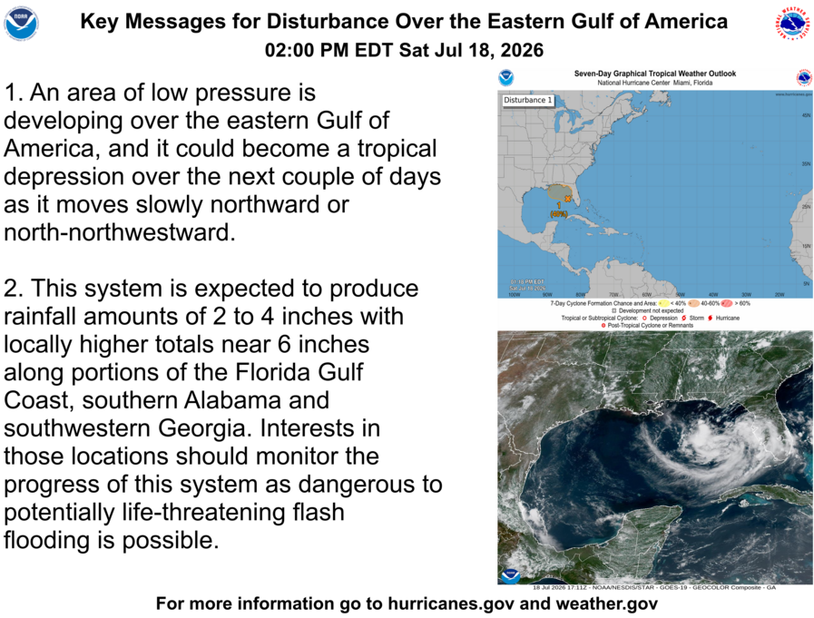
2 pm EDT July 18 - There is now a medium chance of a tropical depression forming over the Gulf of America. Here are the Key Messages about the system. Visit hurricanes.gov for updates.
National Hurricane Center tweet media
English
122
177
639
231.4K
Kimberly Miller retweetledi
Dr. Levi Cowan
Dr. Levi Cowan@TropicalTidbits·
We now have an invest area (#91L) in the Gulf. Some satellite observations so far today: 1. There is a bit of a double-barrelled look as two mid-level vorticity maxima appear (circled). This is the beginning of the expected "stretching out" process (see yesterday's post). 2. Surface rotation is more apparent today and confirmed by surface observations (circled), albeit still very weak relative to the mid-levels. 3. Convective (thunderstorm) coverage is muted so far, likely due to some dry air punching into the north side via #Georgia and northern #Florida. The preexisting environment was never impressively moist either. These signs don't point toward rapid development short-term, but the system nevertheless has a chance to become a tropical depression or storm over the next couple of days. The National Hurricane Center has bumped those odds to 40% today.
GIF
Dr. Levi Cowan tweet mediaDr. Levi Cowan tweet media
English
5
76
469
44.3K
Kimberly Miller retweetledi
Michael Lowry
Michael Lowry@MichaelRLowry·
For those opening their radar app and wondering why this thing isn't named, it's because it's a transient mid-level MCV (mesoscale convective vortex), not a surface spin. It'll take some time to erode the upper-level low sitting above before we see bona fide tropical development.
GIF
English
1
17
68
9.2K
Kimberly Miller retweetledi
Bryan Norcross
Bryan Norcross@bryannorcrosstv·
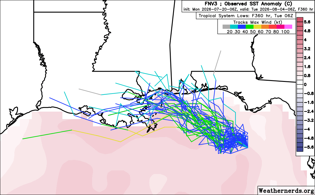
TROPICS UPDATE: Keeping a little eye on the northern Gulf in about a week. But nothing likely. And looking back 100 years to July 1926. Although the building boom of 1925 was faltering, Miami was having a good summer. But nobody could imagine what that hurricane season would bring starting later that July. More at HurricaneIntel.com
Bryan Norcross tweet mediaBryan Norcross tweet mediaBryan Norcross tweet media
English
0
4
13
1.1K