Good afternoon everyone,
Well… stepping outside today feels a bit like opening the oven door to check on the roast potatoes.
One thing many people forget during weather like this is that the temperatures you see on your weather app are officially measured in the SHADE, inside a special weather screen with good airflow around it. That means when you see 27°C or 28°C forecast for Cornwall, that is not what it can feel like standing in direct sunshine.
In direct sunlight, especially with light winds, dark clothing, walls, patios, cars, beaches and tarmac soaking up the heat, it can easily feel several degrees hotter. So while the “official” air temperature may be sitting around the high 20s, it can feel well into the low 30s in sheltered sunny spots. Basically… Cornwall has temporarily upgraded itself to “Mediterranean with pasties.”
Cars become ovens very quickly in this kind of setup too. Even with outside temperatures in the mid to high 20s, inside car temperatures can rocket above 40°C surprisingly fast. So please don’t leave dogs, cats, children, husbands, wives or even your emergency sausage roll in the car today.
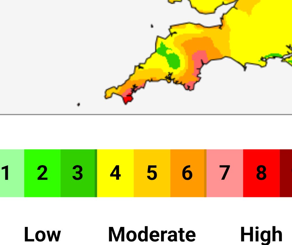
The UV levels are also HIGH to VERY HIGH, meaning sunburn can happen much quicker than many realise, especially with that slightly hazy sky from Saharan dust filtering the sunlight. And yes… the dusty cars and windows are back again. If you’ve got a black car, thoughts and prayers.
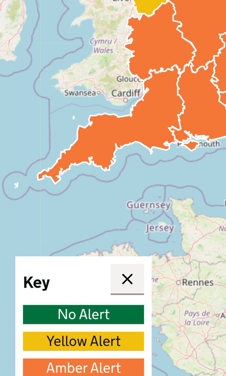
What’s fascinating about today is that we’re now starting to challenge some pretty impressive Cornwall temperature records. Cornwall’s highest May temperature on record stands at 27.7°C and incredibly that’s also tied with Cornwall’s highest June temperature record too, set back in June 2017. That really shows just how unusual this current late-May heat is becoming.
For weather geeks like me staring at charts while drinking coffee number five, it’s quite remarkable seeing temperatures this high in SPRING rather than the middle of summer. Sea temperatures around Cornwall are still relatively cool, which is why some coastal spots are seeing mist, sea haze and cooler patches while inland areas are roasting away.
So if you’re out today:
Stay hydrated, Slap on the sun cream
Check pavements before walking dogs, Joggers may want to avoid the hottest part of the afternoon
Beer gardens will likely be operating at full capacity, and office workers everywhere will suddenly discover “important outdoor tasks”
Meanwhile, somewhere in Cornwall there’s already a barbecue being lit at 11am while one neighbour complains it’s “too hot” and another says “don’t moan, it’ll rain next week.” Proper British weather behaviour.
Smudge & Gus weather verdict:
Smudge has moved into full “find the coolest tile floor in the house” mode, while Gus briefly considered going outside, felt the heat, and immediately cancelled those plans in favour of another nap. Sensible really.
More updates soon.
KWT Dave

English