Sabitlenmiş Tweet

Hello everyone!
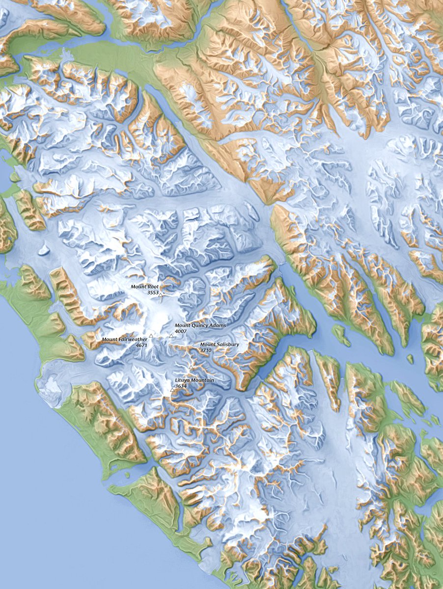
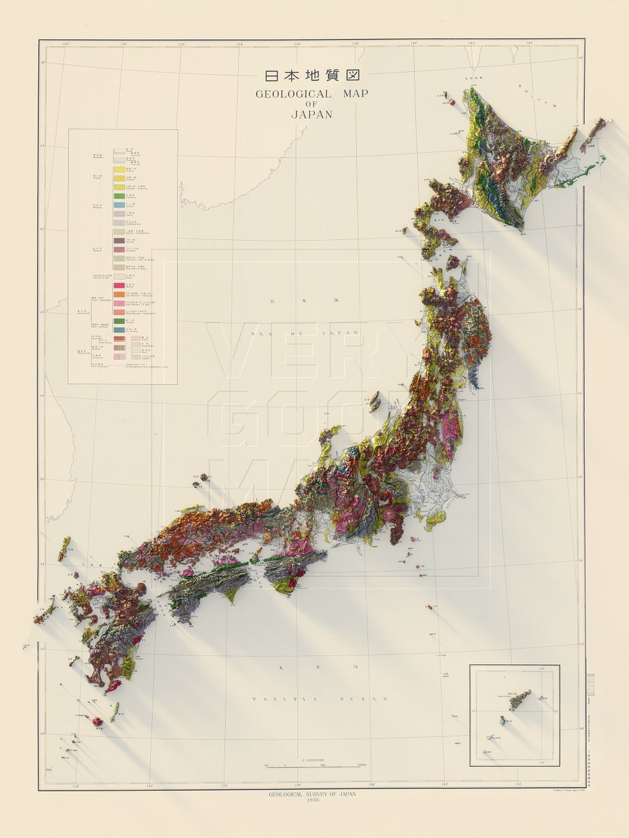
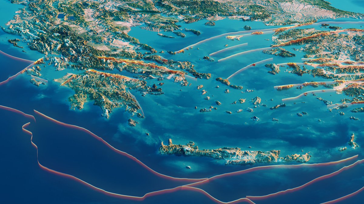
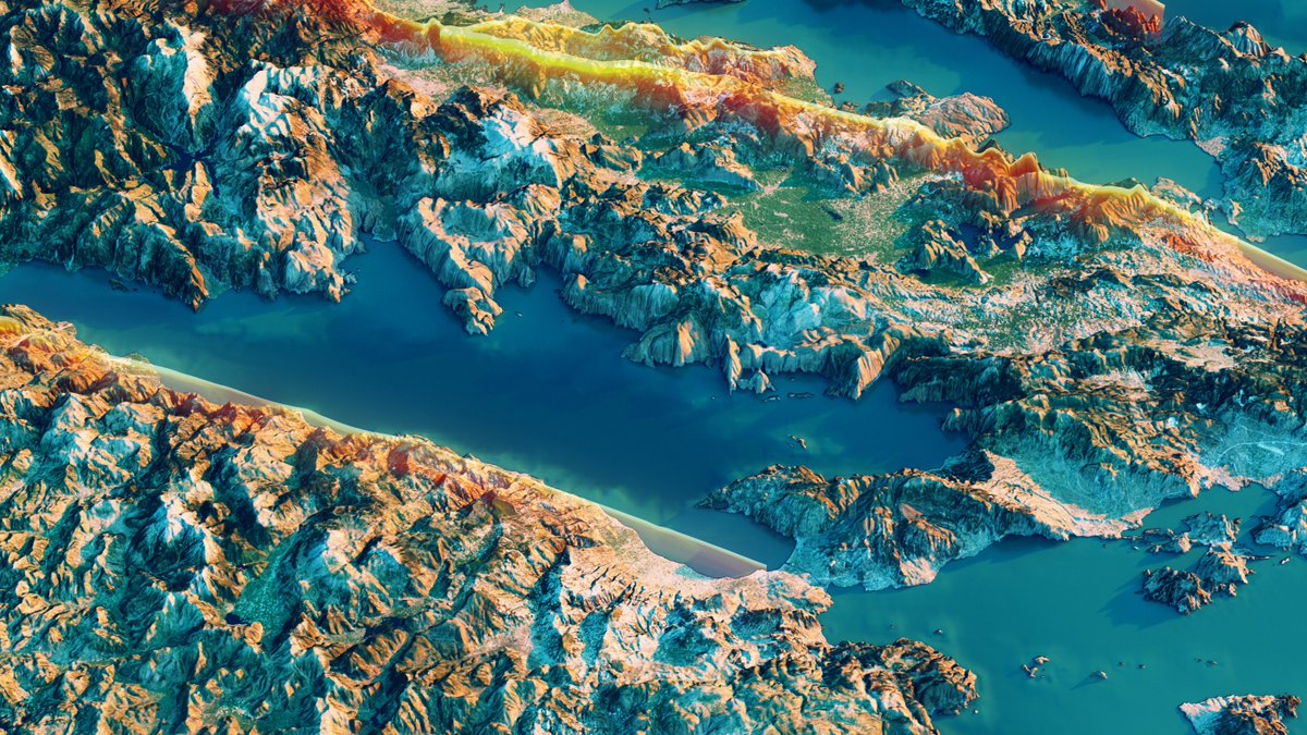
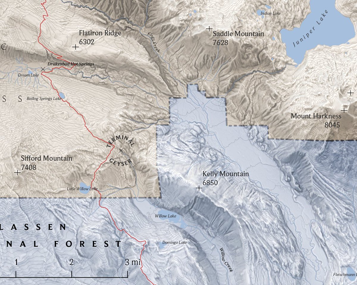
Long time no see, but today I will join the #30DayMapChallenge with my Italian Mountain Atlas, a personal interactive project that I will surely upgrade in the future (link below). This will probably be my only contribution to the challenge this year
English