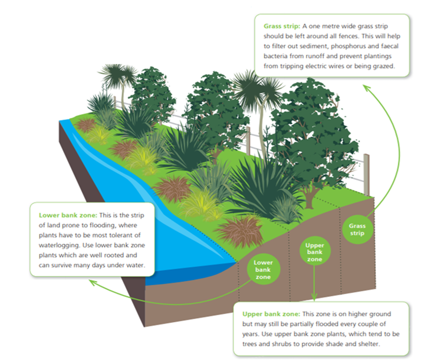
We are excited to share results of a joint project with PDP to predict riparian planting survival across New Zealand. lynker-analytics.com/ourwork/2023/1…
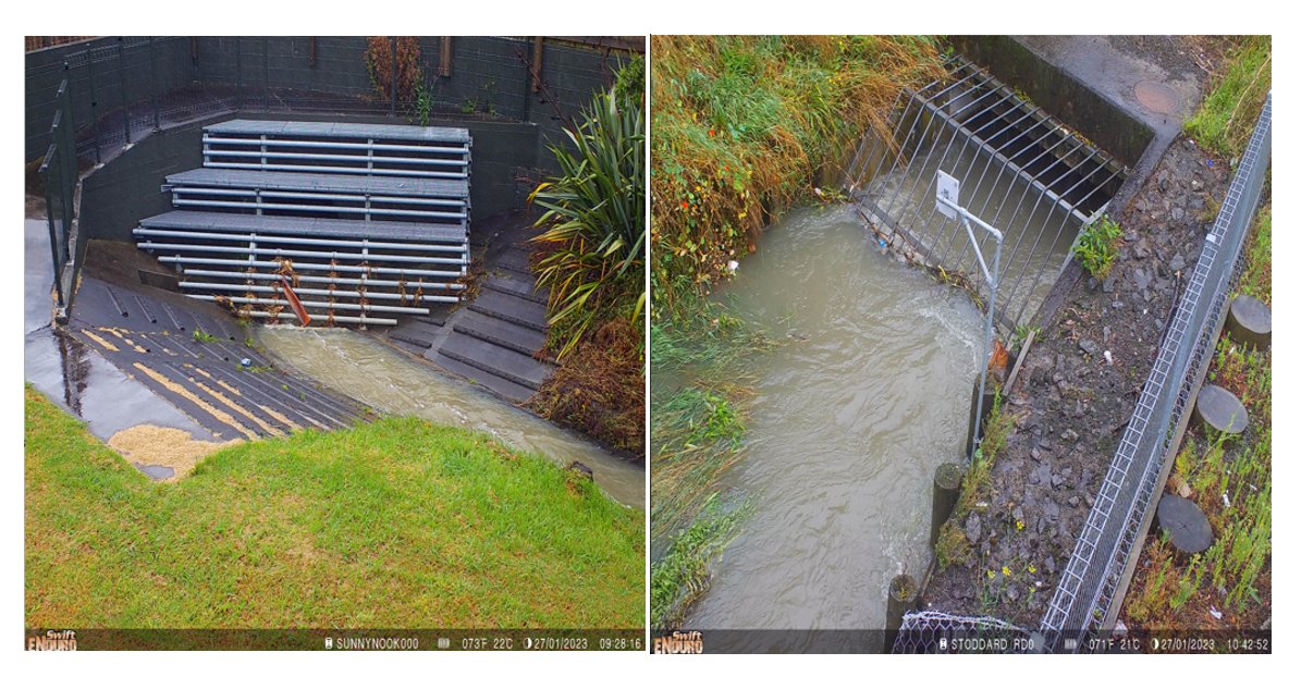
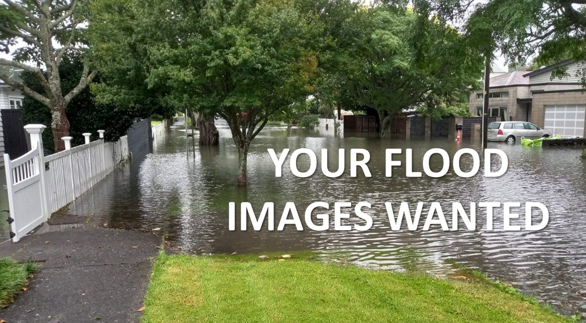
The extreme rainfall event on January 27th caused widespread flooding across Auckland. Alongside Auckland Council, we have developed the flood experiences app flooded.co.nz to gather photos, video and stories of flooding across Auckland. #floods
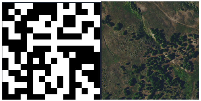
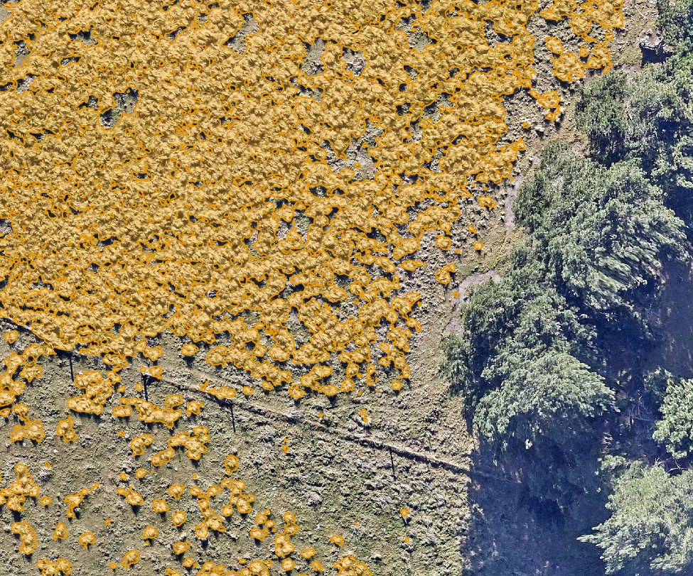
We have completed a successful pilot with @ECan using Machine Learning to identify pest plants from aerial imagery. This system provides a more efficient way to inspect large swathes of land for biosecurity threats such as Nassella tussock.lynker-analytics.com/mediacentre/20…
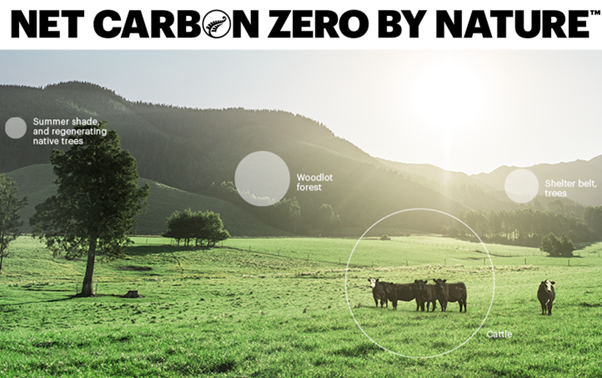
We are proud to announce that Lynker Analytics are managing the @silverfernfarms carbon stock assessment system for suppliers in the Silver Fern Farms Net Carbon Zero programme. lynker-analytics.com/ourwork/2022/1…
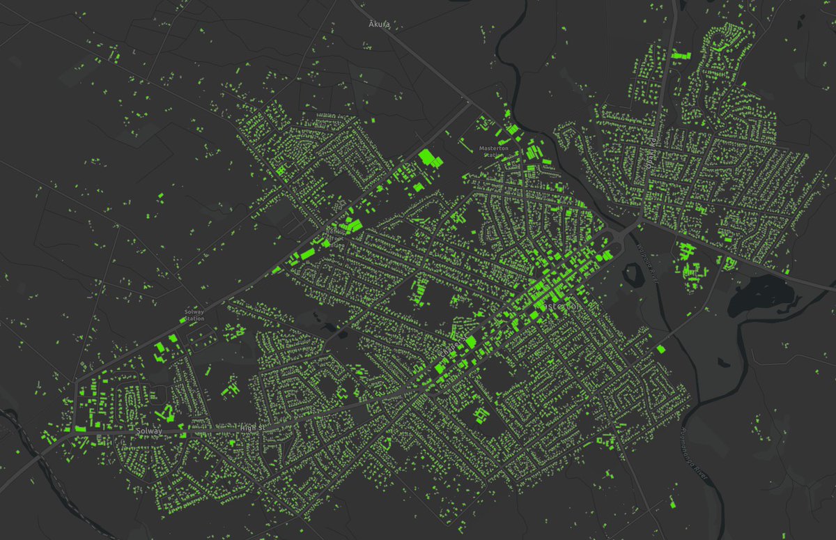
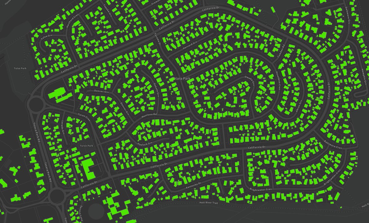
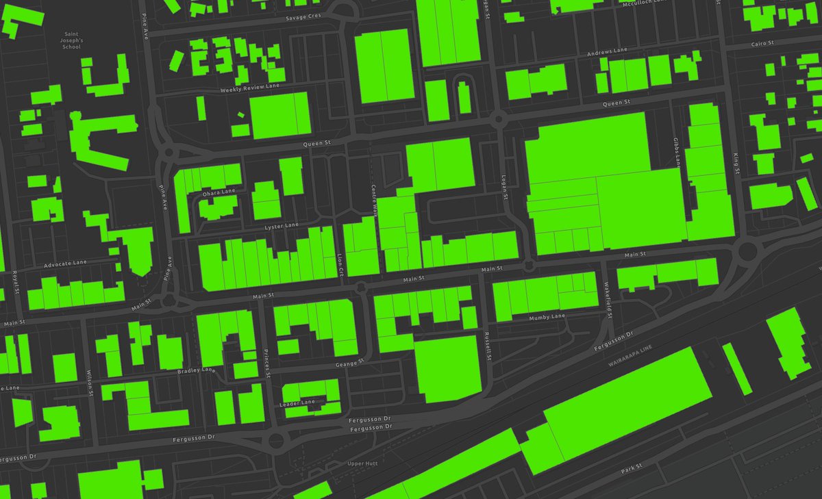
Our awesome building outlines data has had a refresh, with updated outlines for rural Canterbury covering an area of over 6,500 km sq. This vis shows change in Kaiapoi between 2015/16 & 2020.
#opendatadata.linz.govt.nz/data/category/…
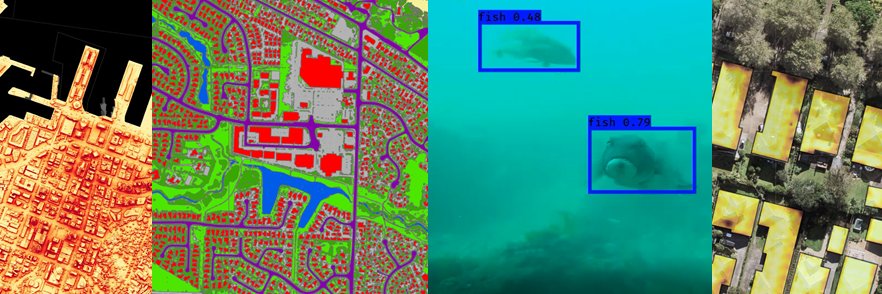
Michael Stanley from @LynkerAnalytics and Amanda Barney from @teem_fish will be presenting on the application of AI to Identify Discards on EM Vessels at the Symposium on Catch Identification Technologies in Bergen, Norway next week. fiskeridir.no/Yrkesfiske/fan…
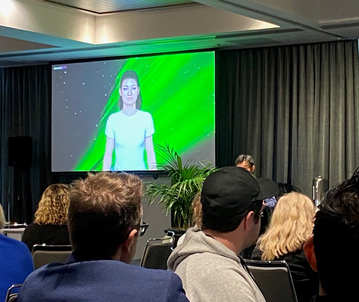
Congratulations to the regional winners of the @AIForumNZ EnviroHack - AI for the Environment series held last week in Dunedin, Christchurch, Wellington, Waikato and Auckland.
We are pleased to announce a milestone for the company – our first multi-year mapping contract with a national land administration and mapping agency @LandInfoNZ. lynker-analytics.com/mediacentre/20…