Sabitlenmiş Tweet
MasDogWx
20.8K posts

MasDogWx
@MasDogWx
Weather nerd living in the swamps of SE Louisiana | ULM ATMS '30 | Pulse storm enjoyer | Depressed Saints, LSU, & Pelicans fan.
Larose, LA Katılım Mart 2021
949 Takip Edilen1.8K Takipçiler

@Veeringwindswx Better provide me with some good winter delta chases 😛
English

We’re excited to announce @ScotPilie_Wx as WDSU’s new Chief Meteorologist.
Watch Scot starting tonight on WDSU News at 5, 6 & 10pm.
English

@MatthewCappucci Chris is honestly one of the nicest people i’ve ever spoken to! Had the honor of having breakfast with him back in June 2023, and was able to sit and talk all things weather with him for an hour. Learned so much in that little time from him, and it’s honestly smth i won’t forget.
English

The man — the myth — the Broyles.
This was an absolute career highlight and an amazing privilege; a few weeks ago, I had the opportunity to interview Chris via Zoom. He emailed me after and offered a one-on-one tutorial of his research and novel forecasting techniques. The offer was beyond humbling.
Today, I got to sit down with him for two hours and learn about his team’s groundbreaking research surrounding jet streak translation speeds and a variety of other factors. To say I learned a LOT would be an understatement. An equally-skilled teacher as forecaster.
Many of you know Broyles from some famed tornado outlooks — like in 2012, when he presciently issued a day-two high risk despite models showing no rainfall. The next day, swarms of strong to violent tornadoes materialized exactly where he had anticipated. He proved correct, and the top-notch analysis and gut instinct earned him a congressional silver medal.
It was amazing to see how much technical in-the-weeds meteorology goes into each of his upper-echelons forecasts, as well as the impressive and promising verification statistics of some of the agency’s more recently-created tools.
Chris’s OMEGA research rose to prominence following a “surprise” high risk outlook on April 2, 2025. A lot of meteorologists, including myself, were caught off guard — we didn’t see it coming, and convective-allowing (thunderstorm-simulating) models were tepid. By 4 p.m., a string of violent tornado supercells were traversing the high risk area through northeastern Arkansas exactly where Chris had drawn it. The brazen forecast, based on years of research, verified — and ultimately saved lives.
Chris was exceptionally kind in answering all my questions thoughtfully and comprehensively. I didn’t realize until after that this was all on his own time — his shift hadn’t even started yet.
For someone at his level to give an early-career professional two hours just for the sake of teaching speaks volumes about his character. @NWSSPC has some phenomenal minds — and people.

Matthew Cappucci@MatthewCappucci
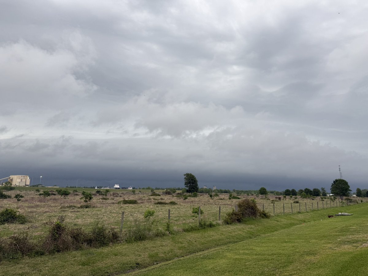
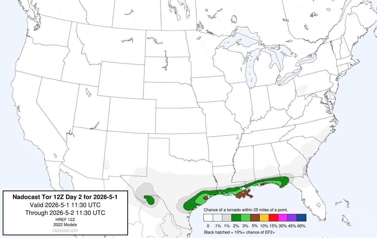
Y'all will never guess who I'm seeing today... 😃
English

@backinblack_wx @shamnadoes I rarely see them produce anything stronger, and they’re always usually undercut very quickly by the RFD.
English

@backinblack_wx @shamnadoes This is something i’ve been wanting to do research on for a while. Since i’m chronically tracking everything, i’ve seen my fair share of these broad mesos with high VROT >70kts that only produce EF-1/2 tornadoes.
English

@backinblack_wx Congrats!!! Sad to see you leave the gulf coast, but I may have to come visit over there one day 🤣
English

@backinblack_wx They've been so bad here the last few days. The love bugs as well.
Go from love bug hell during the day to termite hell at night.
English

View of the strong storm over Lake Salvador from Larose.
#lawx @NWSNewOrleans @SibleyDerek @ScotPilie_Wx @ZackFradellaWx


English

@WesWoods314031 No, there is still a chance for all severe hazards with storms along the cold front tonight in W TN. The post was just talking about the OWS convection earlier in the day.
English

@I65WxSils @WXmarcus During the month of April, anything below that 7-8° threshold would likely support convection. There’s a research paper on it somewhere, but i can’t find it right now.
English

This pretty much shunted any convective devlopment throughout the afternoon and evening in this area, despite an otherwise volatile envrionment that would've supported strong tornadoes.
#wxtwitter
English

Tracking mode: activated
Going to be a long afternoon/evening for portions of the Mid-Mississippi Valley.
Weather Track US@weathertrackus
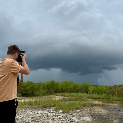
Here are @MasDogWx (left) and @lividwx (right) setup! We also have other staff on the team monitoring the situation and providing information for y'all this afternoon and tonight.
English
MasDogWx retweetledi

Nice shelf rolling into Larose a few minutes ago.
Outflow winds are pretty strong now.
#lawx @NWSNewOrleans @SibleyDerek @ScotPilie_Wx @ZackFradellaWx


English

Two headlines for the southeast going forward into early May. Major episodes of severe weather return to KY/TN/AR/MS... and at the same time those systems provide little to no rain on the Florida Peninsula, that badly needs it.
This is the NBM rain through 5/1.
Models probably are under-forecasting temps... given how dry it will become, mid-upper 90s in north Florida seems possible in early May. @fox35orlando

English


