@amanduh_curran I’ve watched some of it . I might even have my name on that trip not recall which mission has my name. My name is on mars and on the way to Jupiter
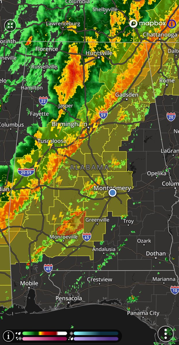
2:10am update: main line has entered our northwestern counties, but a few cells ahead of that are causing concern … tornado watch has been extended eastward a bit, so tune in to watch @JoshWeather LIVE right now with continuing coverage of this severe weather threat!
ROAD CLOSURES (Mar 15, 8:23 p.m.): OPP NER is advising of the following road closures due to severe weather and road conditions.
CLOSED:
⛔ Hwy 11: Cochrane to North Bay
⛔ Hwy 17: Wawa to Heyden
⛔ Hwy 17: Sault Ste. Marie to Sudbury
⛔ Hwy 65: Hwy 66 to Quebec border
⛔ Hwy 69: Parry Sound to Sudbury
⛔ Hwy 101: Wawa to Folyet
⛔ Hwy 129: Wharncliffe to Chapleau
⛔ Hwy 144: Chelmsford to Timmins
^pia
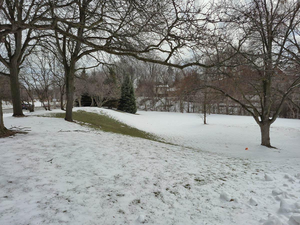
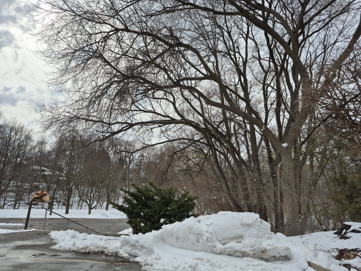
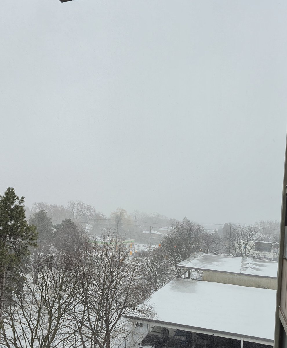
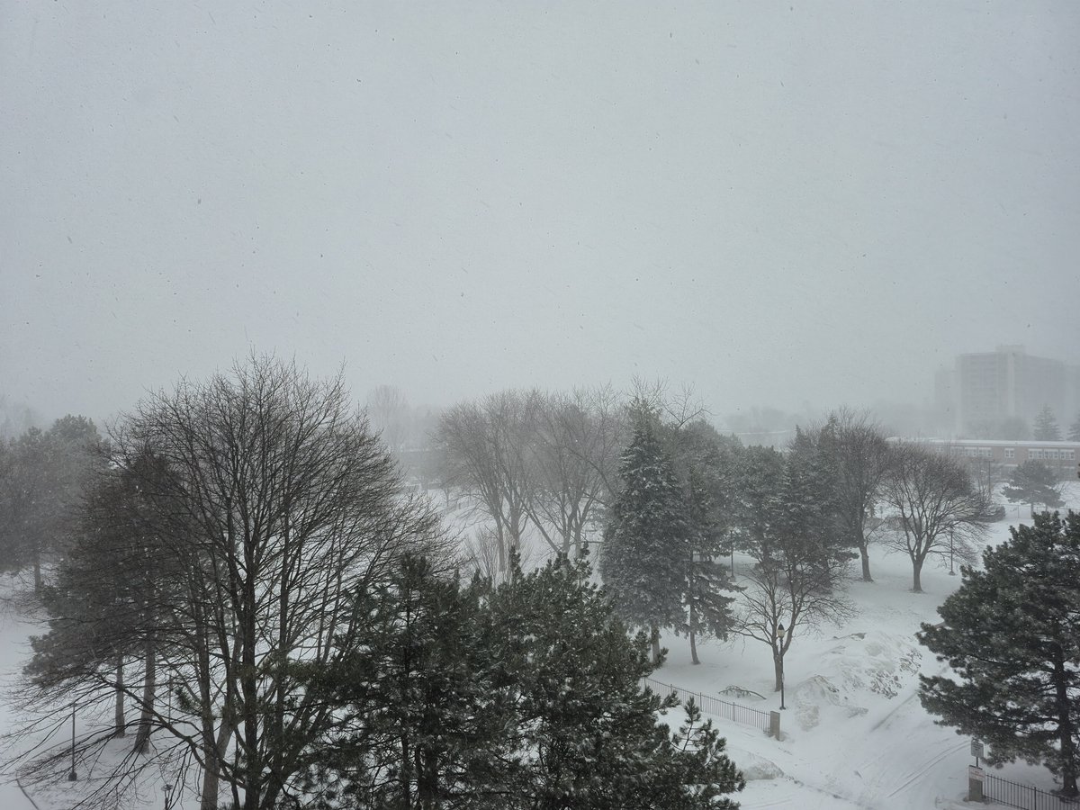
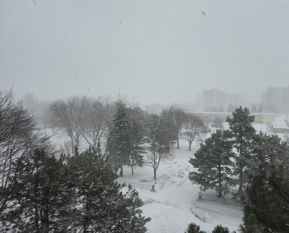
@mikecejka4 Good day we got new snow last night here in Toronto. Not sure how much but it looks like winter wonderland my Christmas 🎄 tree have snow this morning
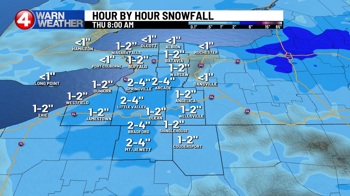
ADDITIONAL SNOW should be limited today. I'm thinking not much more than 1" for most, though more persistent snow showers on the hills and perhaps north of Buffalo may produce 2-3" in spots. Tracking it,
#News4Buffalo WakeUp! #4WarnWeather Now on CW23
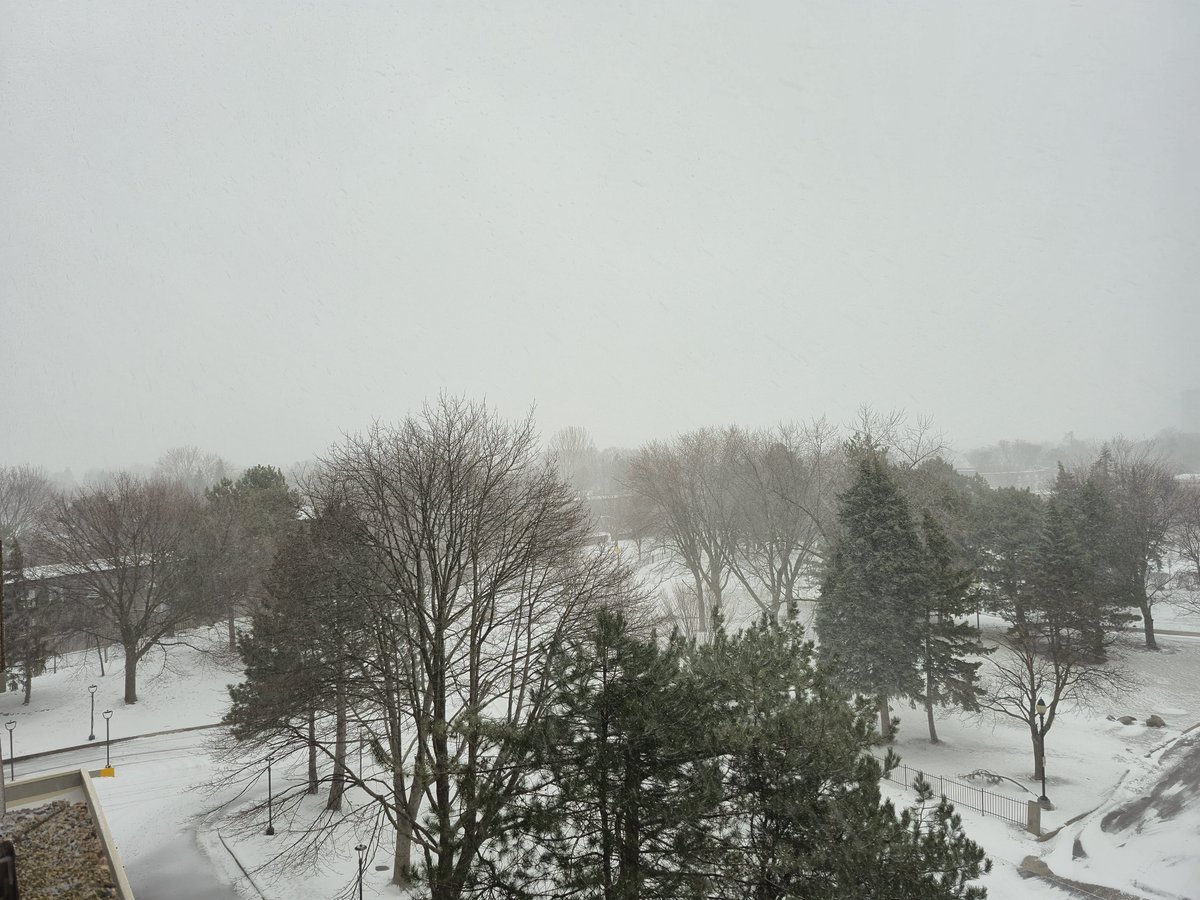
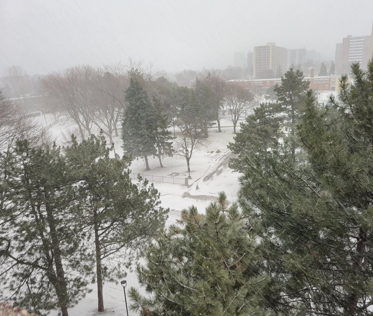
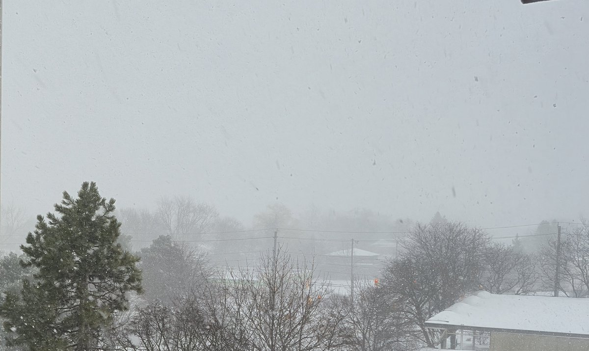
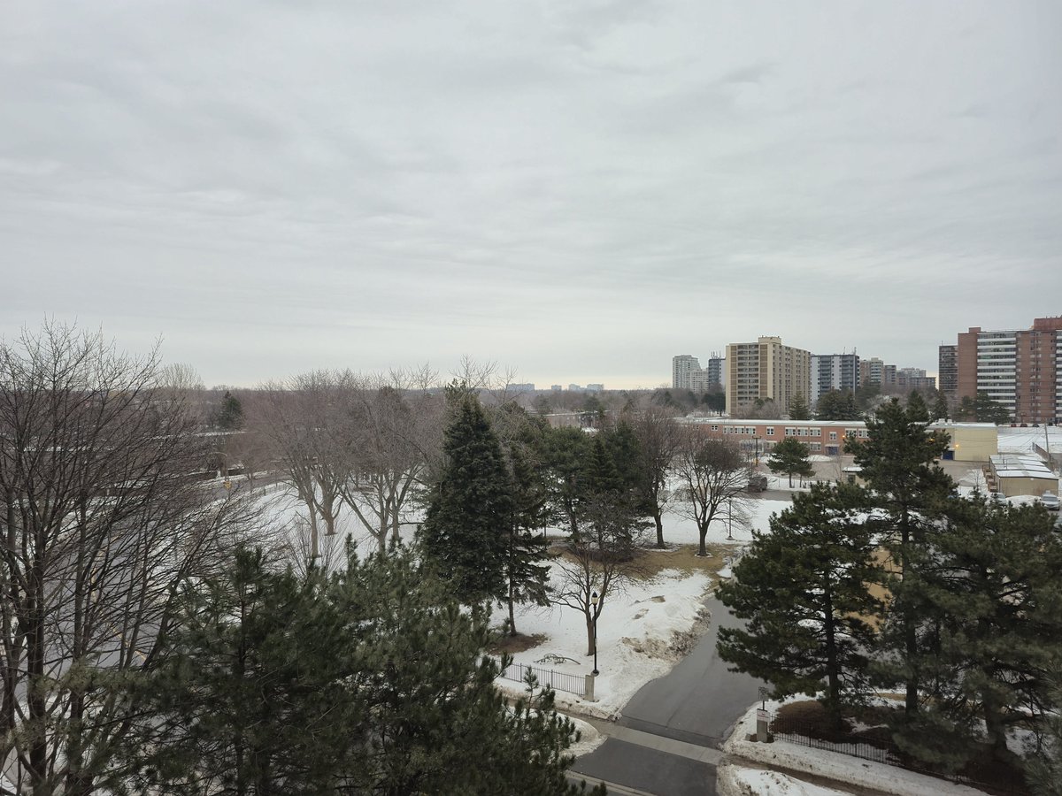
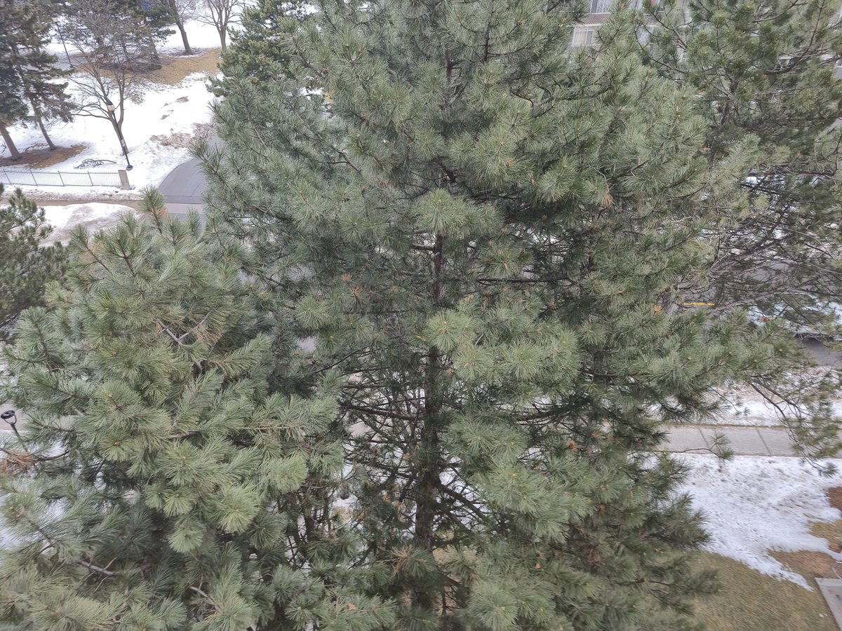
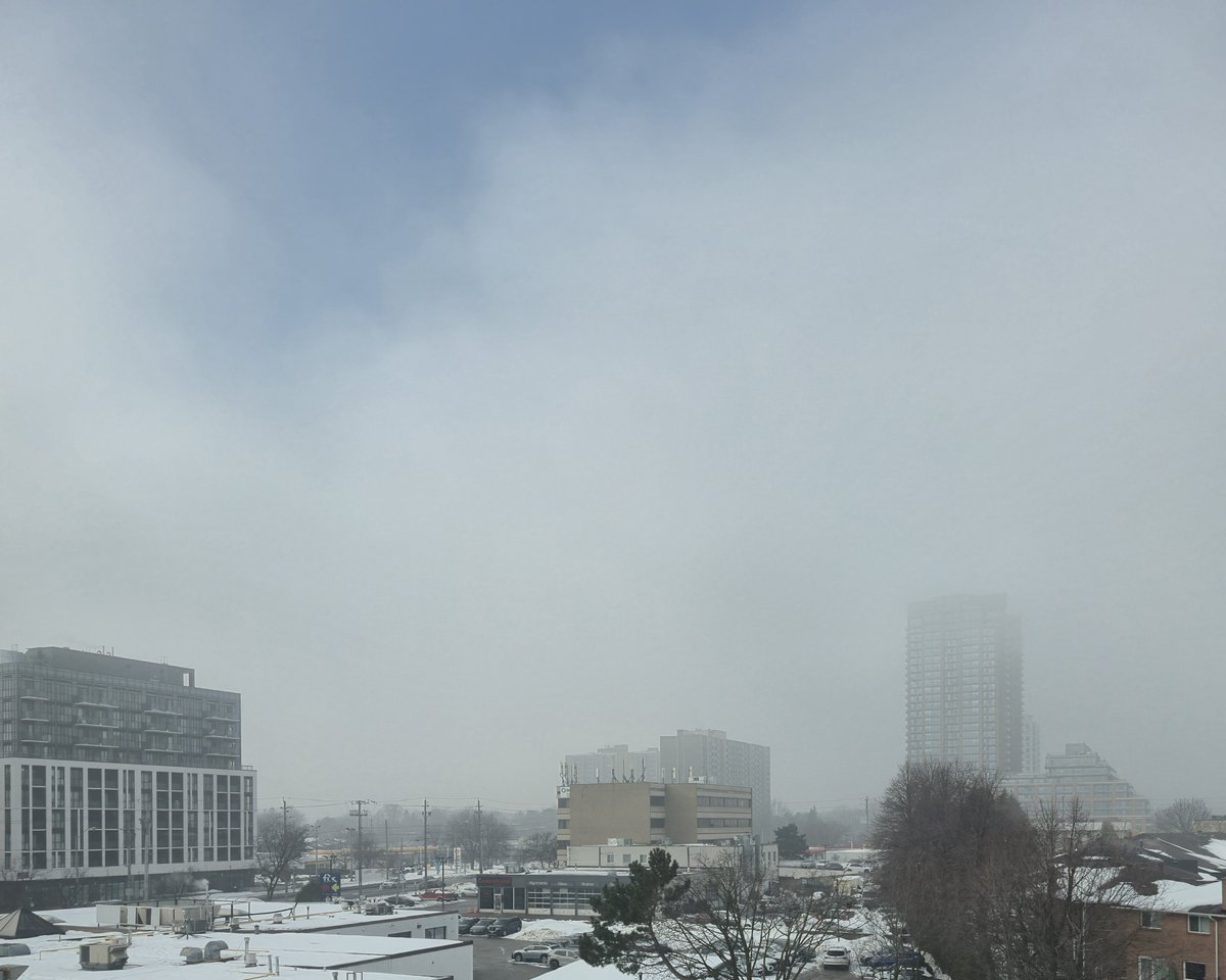
@gtaweather1 The calm before the storm #ShareYourWeather east north east and kinda south view. Happy snow day for all. FYI seems to have started a little snowy here in the east @MurphTWN
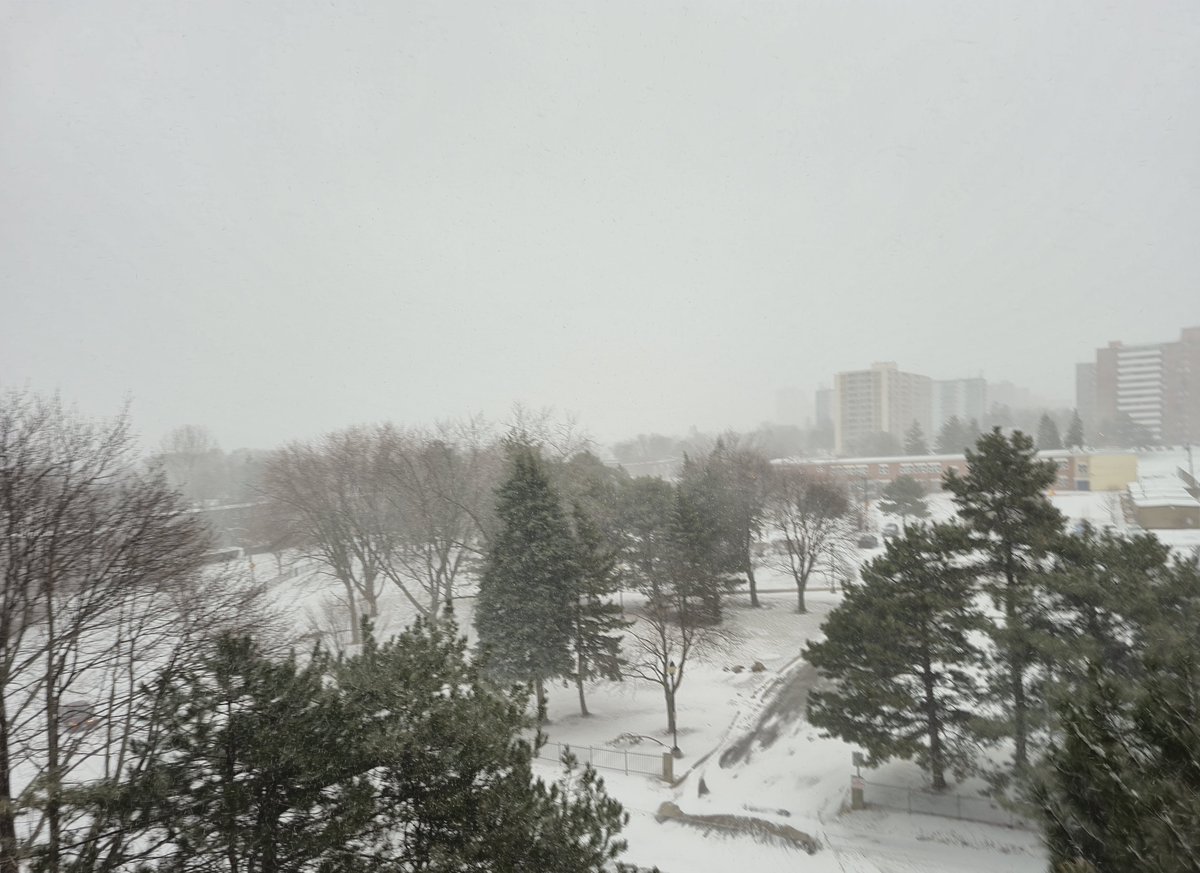
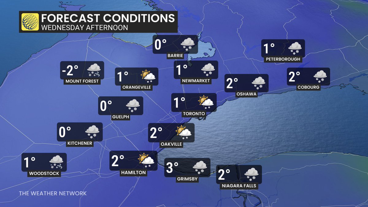
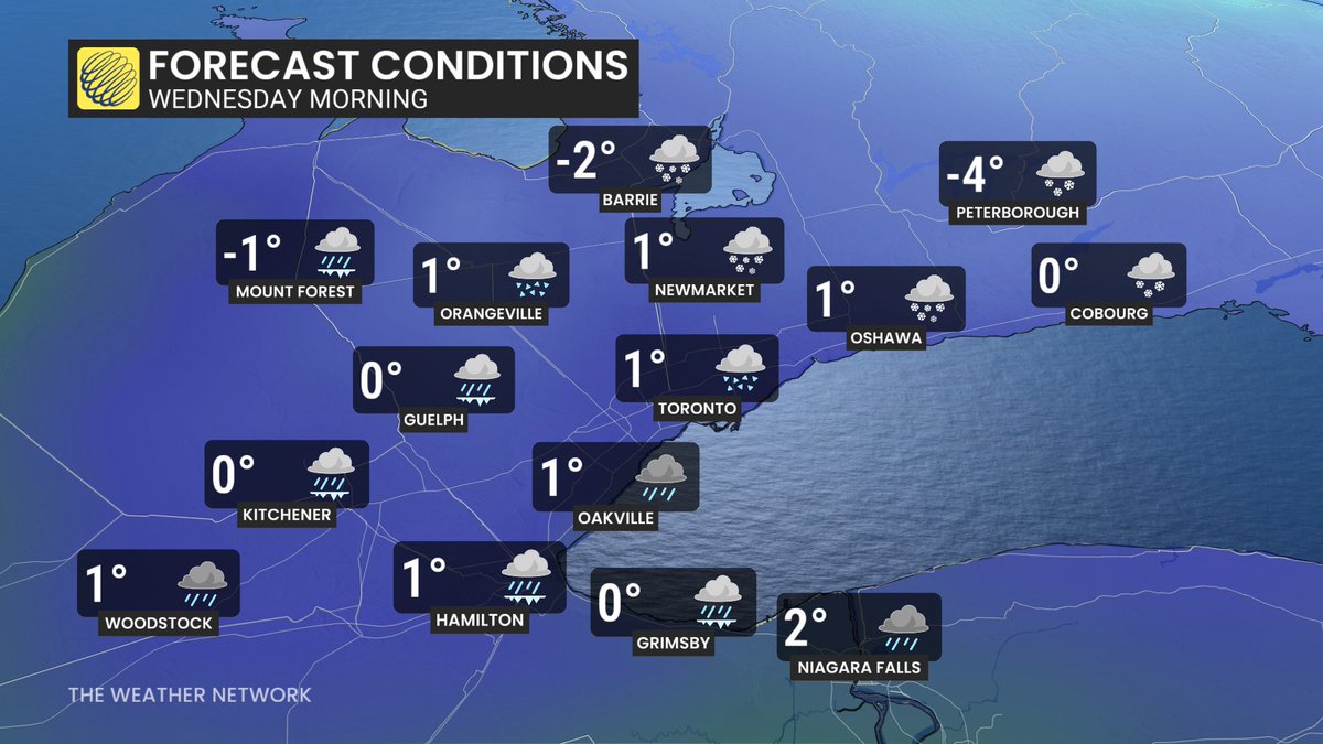
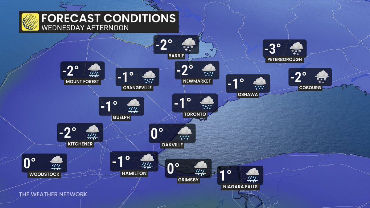
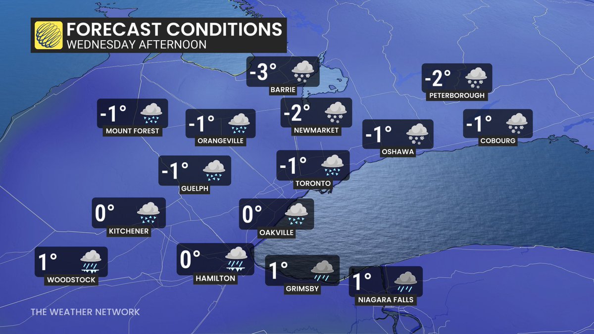
Messy storm today - diverse precip mix & wide range of impacts across GTA; Windy w/ ice pellets, freezing rain & rain west GTA - more snow & pellets in the mix towards Toronto, north & east GTA; Mostly freezing rain & rain Hamilton/Niagara; Roads deteriorate thru the day #ONStorm
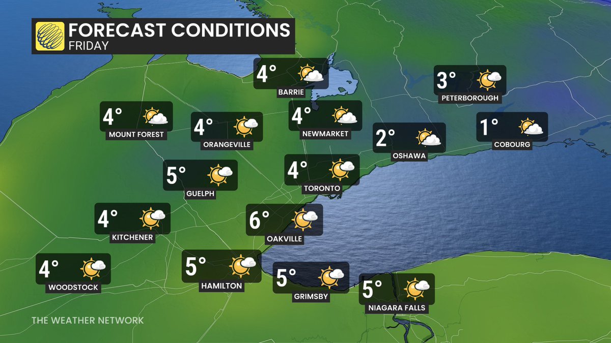
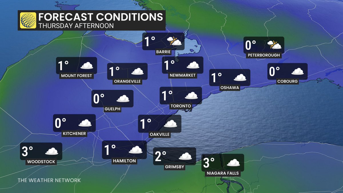
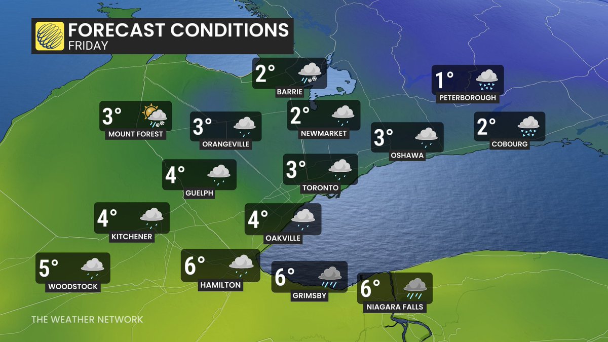
Clouds mix w/ sunny breaks later today & very mild; Messy storm Wed. - windy & a diverse mix of precip & wide range of impacts across the GTHA - more rain, pellets & freezing rain in the mix south & west of Toronto; Snow & ice pellets north & east; Mostly rain Niagara #ONStorm