
Ramani Geosystems
945 posts

Ramani Geosystems
@Ramani_Group
📌🌐Putting Africa on the Map! Offices in 🇰🇪🇺🇬..Aerial and Land Surveys, Online GIS, Mapping.
Nairobi, Kenya Katılım Ağustos 2016
292 Takip Edilen1.9K Takipçiler
Wishing everyone a Happy Easter filled with peace and new perspectives. We're taking a moment to recharge before we get back to putting Africa on the map! 🌍
#Easter #Ramani #LandSurveying #MappingTheFuture
English
Wishing everyone a Happy Easter filled with peace and new perspectives. We're taking a moment to recharge before we get back to putting Africa on the map! 🌍
#Easter #Ramani #LandSurveying #MappingTheFuture
English
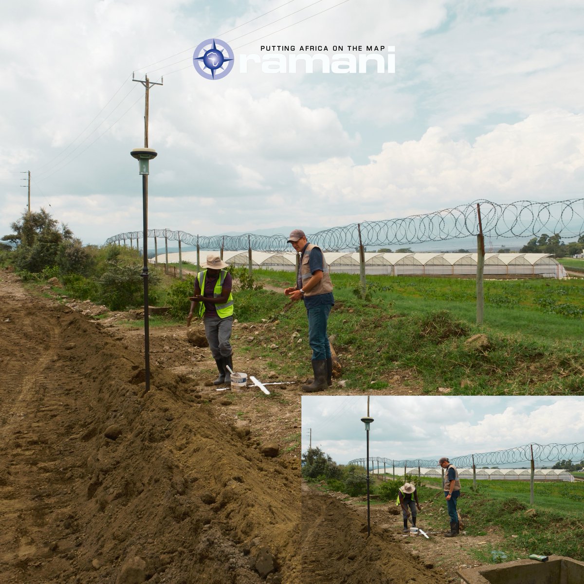
While we celebrate the maps redrawn, the real work happens in the dirt and the heat. Putting Africa on the Map is the heavy lifting required to keep operations moving.
What does "getting your hands dirty" look like in your industry? Share your "boots on the ground" moments below!
English
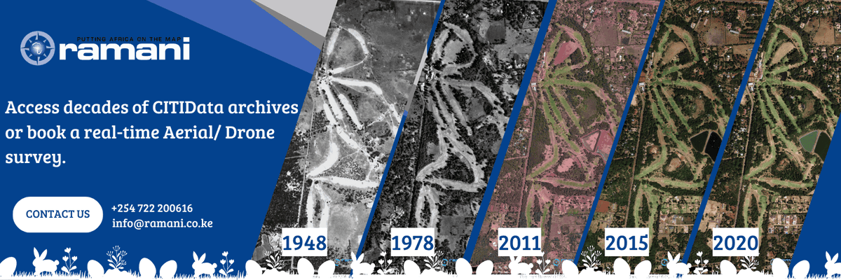
A day at Ramani means switching between drones, planes, and total stations faster than you can say "benchmark." From aerial imagery to site boundaries, we’ve got the data to keep your project on track.
Because at the end of the day: We Never Stop Mapping.
wa.me/254722200616
English
23,000+ photos. 3k sqkm. The Ramani crew is defying the odds over the Shabelle River to provide @FAO with the data needed to fight floods & droughts.
@FAOSomalia we’re proud to support the RESTORE project & the JOSP initiative for a food-secure Somalia.
fao.org/somalia/news/d…
English
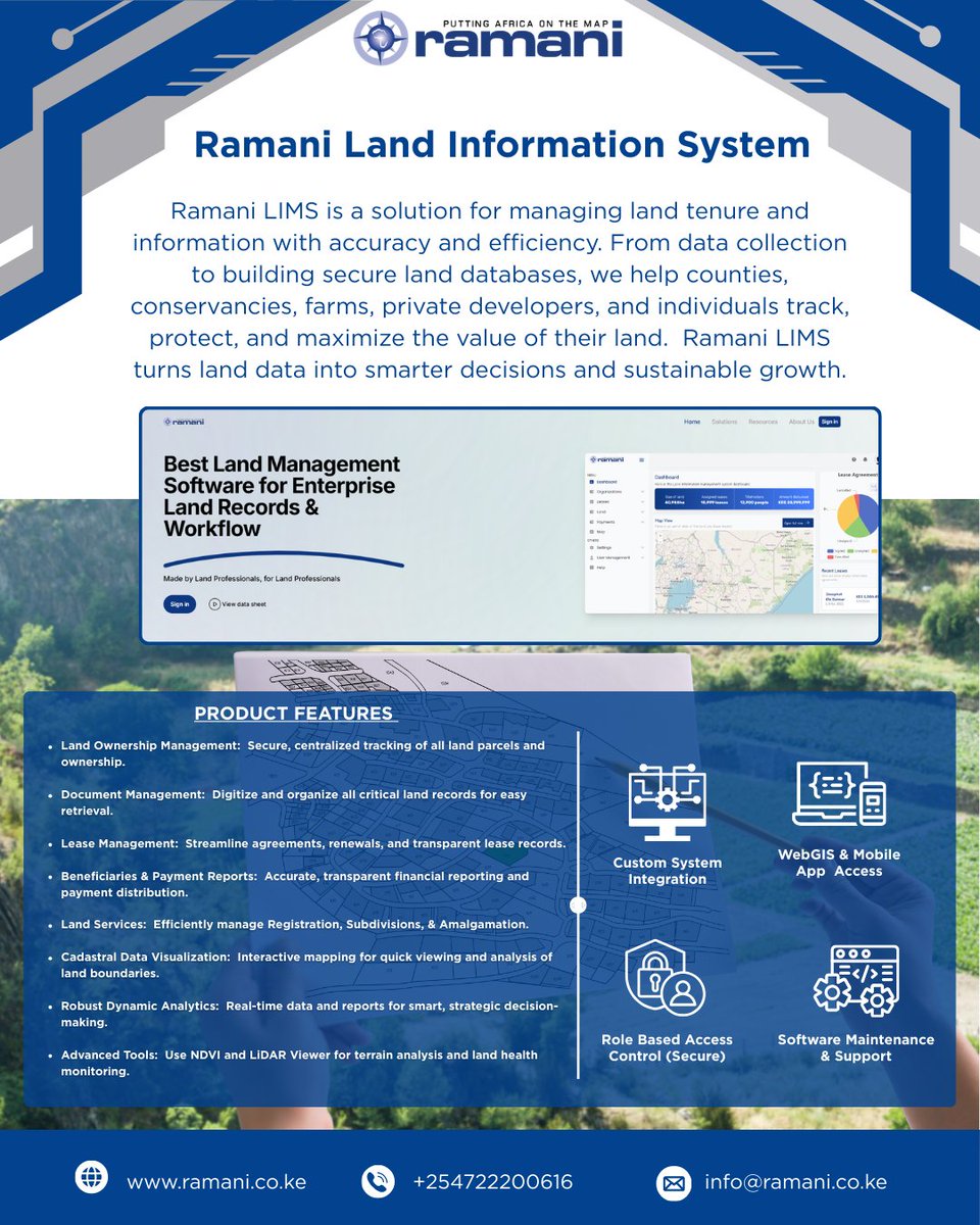
Stop wrestling with paper trails and fragmented data.
Ramani LIMS.
What we bring to the table:
✅ Secure Tracking: Centralized land databases.
✅ High-Tech: NDVI & LiDAR terrain analysis.
✅ All-in-One: Subdivisions, leases, & payments.
📧 info@ramani.co.ke
English

👇 Let’s hear from you: * What big projects are you breaking ground on this February? 🚜
Can you guess which part of Africa is getting the high-res treatment today? 🌍👇
#AerialMapping #Africa2026
English
We’ve been a bit quiet on social media lately, but that’s only because our hearts (and our hardware) have been in the clouds. 2026 is off to an incredible start, and honestly? We’re just happy to be back doing what we love most.
English
At Ramani Geosystems, we know that the best journeys lead home for the holidays. Thank you for choosing us as your trusted geospatial partner this year.
Merry Christmas to you and your loved ones! 🎅✨

English

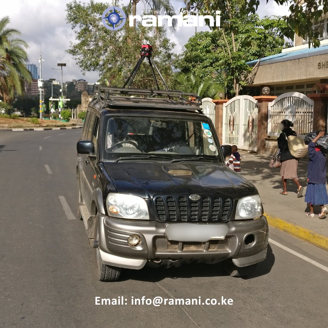
"Capturing your world in detail with Ramani’s GV360 – high-res imagery & video from the ground up. Every 10m, a story unfolds. 🌍📸 #GV360 #SmartSurvey #UrbanMapping #GeoTech #InfrastructureInsights #StreetView360
English
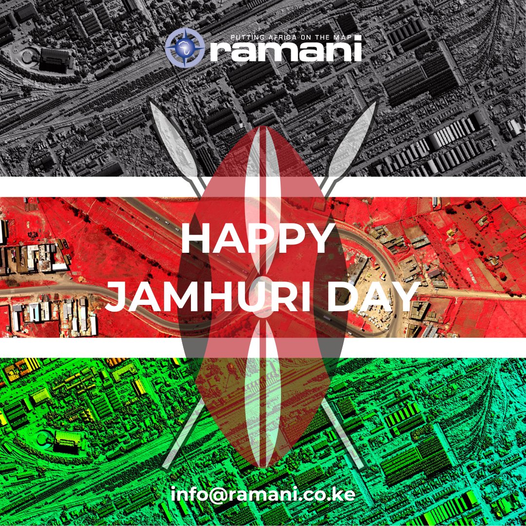
Celebrating Freedom, Unity, and the Kenyan Landscape . On this Jamhuri Day, let's remember and give thanks to those who have made this world possible, and all of the work it takes to maintain our independence.
Happy Jamhuri Day!
At Ramani, tunajivunia kuwa Wakenya!
English
Pre-GIS Week Advantage: High-Resolution Imagery Discount for Uganda zc.vg/iWjgm
English
Don't wait for GIS Week!
Ramani Uganda is offering an exclusive discount on High-Res Satellite Imagery for all Ugandan projects. Maximize your budget & decision-making with the latest insights.
Ends Nov 30th, 2025.
#Ramani #UgandaGIS #InfrastructureDevelopment

English
Looking for a smarter way to manage your land? 📷
Ramani LIMS offers a secure, all-in-one solution for tracking ownership, documents, leases, and more!
#ramanilims#LandManagement#GIS#DigitalLandRecords#PropertyTech

English