SkyWatch

2.9K posts

SkyWatch banner
SkyWatch

SkyWatch

@SkyWatchApps

Delivering Intelligence from Space

Waterloo, Ontario Katılım Nisan 2014
775 Takip Edilen3.4K Takipçiler
SkyWatch
SkyWatch@SkyWatchApps·
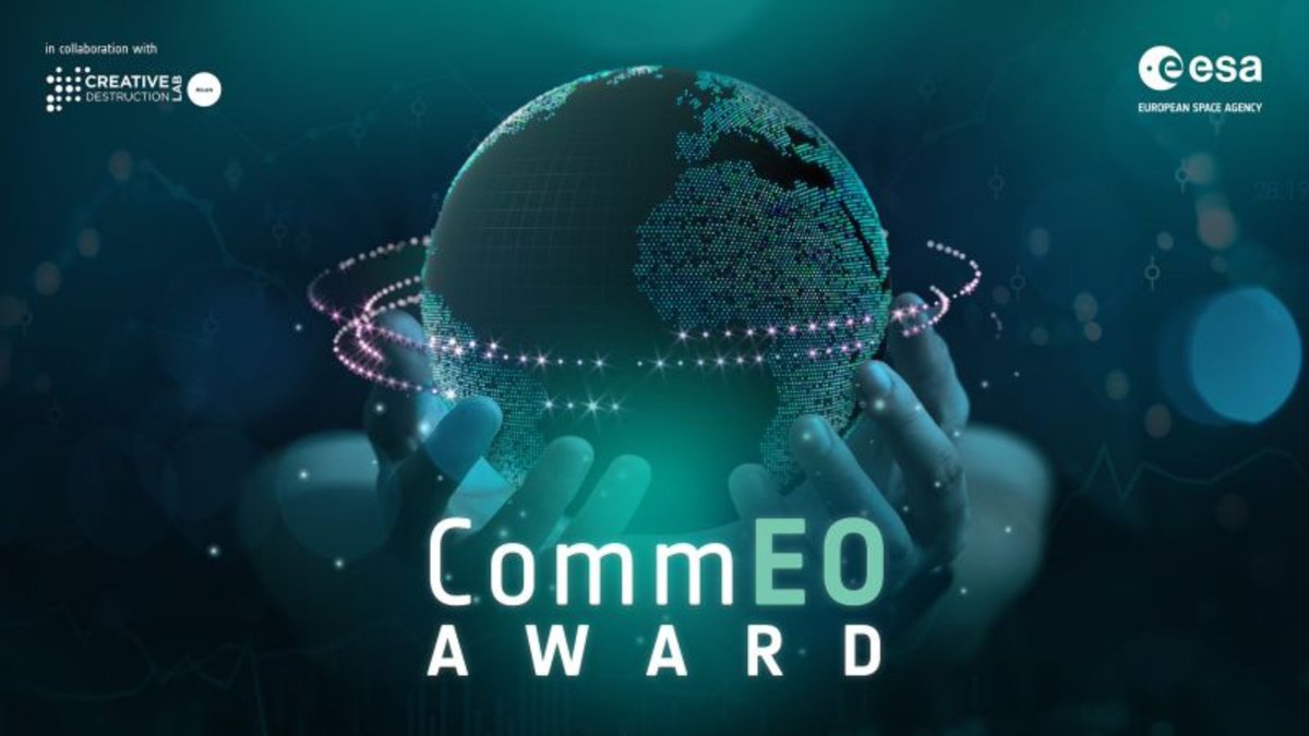
We’re sponsoring the CommEO Award with @creativedlab + @esa 🚀 We're backing the winner with: - $10K in data credits - 12 months of BUILD + API support - Dev + GTM guidance 
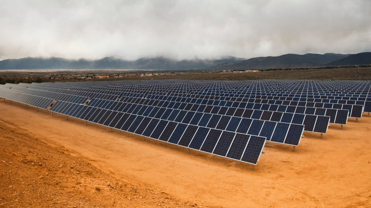
If you're building in climate, resilience, or infrastructure, check it out hubs.li/Q047yfND0
SkyWatch tweet media
English
0
0
1
44
SkyWatch
SkyWatch@SkyWatchApps·
Orthomosaic drone imagery from @SpexiGeospatial is now live on the SkyWatch platform. Access ultra-high-resolution (2.8 cm) standardized drone data for mapping, AI training, infrastructure monitoring & more. Learn more: skywatch.com/drone-imagery/
SkyWatch tweet media
English
1
2
20
798
SkyWatch
SkyWatch@SkyWatchApps·
@SpexiGeospatial orthomosaic drone imagery is now live on the SkyWatch platform. Access ultra-high-resolution (2.8 cm) standardized drone data for mapping, AI training, infrastructure monitoring & more. Learn more: skywatch.com/drone-imagery/
SkyWatch tweet media
English
0
0
1
51
SkyWatch
SkyWatch@SkyWatchApps·
@SpexiGeospatial orthomosaic drone imagery is now live on the SkyWatch platform. Access ultra-high-resolution (2.8 cm) drone data for mapping, AI training, infrastructure monitoring & more. Satellite. Aerial. Drone. One platform. Learn more: skywatch.com/drone-imagery/
SkyWatch tweet media
English
0
0
2
53
SkyWatch
SkyWatch@SkyWatchApps·
Earth observation data is changing how teams: • Track infrastructure • Assess risk • Monitor environmental change • Respond to events We put together a beginner’s guide to EO data, no remote sensing background required. hubs.li/Q040v-9D0 #EO #GIS #SatelliteData
SkyWatch tweet media
English
0
0
1
144
SkyWatch
SkyWatch@SkyWatchApps·
Satellite imagery is an enterprise staple, but choosing a provider isn’t simple. ❓ Direct contracts vs. aggregation platforms ❓ Resolution vs. revisit ❓ Licensing, latency, and scale Demystify the evaluation process with our guide: hubs.li/Q03-6xsj0 #SatelliteImagery
SkyWatch tweet media
English
0
0
0
101
SkyWatch
SkyWatch@SkyWatchApps·
New data source alert 🚨 Today, we announced a collaboration with @EagleViewTech to bring ultra-high resolution aerial imagery to the SkyWatch platform. Read more here: hubs.li/Q03xgHJf0 Want to see what it looks like? Check it out: hubs.li/Q03xgM710
SkyWatch tweet media
English
0
1
2
257
SkyWatch
SkyWatch@SkyWatchApps·
Discover how geospatial data transforms renewable energy site planning 🌱 From solar to wind projects, satellite-based planning delivers speed, accuracy, and ROI. Check out our use case hubs.li/Q03x4hpC0
SkyWatch tweet media
English
0
0
0
200
SkyWatch
SkyWatch@SkyWatchApps·
Check out our use case on using satellite data for solar farm site selection. Factors like sunlight, land shape, and infrastructure matter to maximize efficiency. 🔗 hubs.li/Q03sHwp30
SkyWatch tweet media
English
0
0
1
162
SkyWatch
SkyWatch@SkyWatchApps·
Stop shopping around for imagery when building maps in ArcGIS, use Content Store instead. Learn more: hubs.li/Q03k1D3J0 Watch the full presentation from PDAC 2025: hubs.li/Q03k1BcM0
English
0
1
2
251
SkyWatch
SkyWatch@SkyWatchApps·
See this snippet of SkyWatch, @Esri and @Maxar's presentation on ways mining companies can leverage high-resolution satellite imagery to support efforts like environmental monitoring and creating sustainable growth at PDAC 2025. Watch the full video hubs.li/Q03ht3pd0
English
0
0
3
294