Spatiality

3.8K posts

Spatiality banner
Spatiality

Spatiality

@SpatialityKe

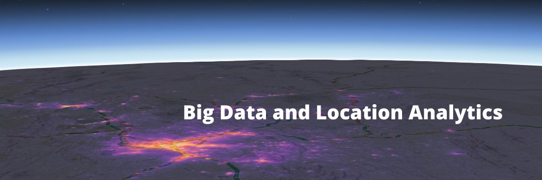
Helping businesses to leverage big data and location analytics in their planning, decision-making, and operations regardless of their size.

Nairobi, Kenya Katılım Ocak 2017
935 Takip Edilen1.6K Takipçiler
Spatiality
Spatiality@SpatialityKe·
ArcGIS Pro has excellent tools for classifying Lidar data and extracting 3D buildings. County Governments can leverage these capabilities for development control and revenue collection #ArcGIS #lidar #geospatial #3D
Spatiality tweet media
English
0
2
0
0
Spatiality
Spatiality@SpatialityKe·
Revit models can be added to ArcGIS Pro without conversion. Other 3D formats can be added to Multipatch or 3D Object feature layers #ArcGIS #AEC2022 #geospatial
Spatiality tweet media
English
0
1
2
0
Spatiality
Spatiality@SpatialityKe·
Performing Network Analysis in ArcGIS Pro is very intuitive. Go and check it out! #ArcGIS #GIS
Spatiality tweet media
English
0
0
6
0
Spatiality
Spatiality@SpatialityKe·
I just had my ArcGIS Dashboard experience updated. An early Christmas gift? #ArcGISOnline
Spatiality tweet media
English
1
0
4
0
Spatiality
Spatiality@SpatialityKe·
Fewer organizations and individuals buy and use GIS as a system. Our suggestion is to interpret the S in GIS as stuff. Your thoughts?
Spatiality tweet media
English
0
0
4
0
Frida Mwangi
Frida Mwangi@FridaMwangi1·
Happy #GISday2021 GIS Day is an annual event celebrating the technology of Geographic Information Systems (GIS) that was initiated by spatial analytics world-leader ESRI in 1999. The following events are taking place in Kenyan Universities. Thread.
English
8
8
44
0