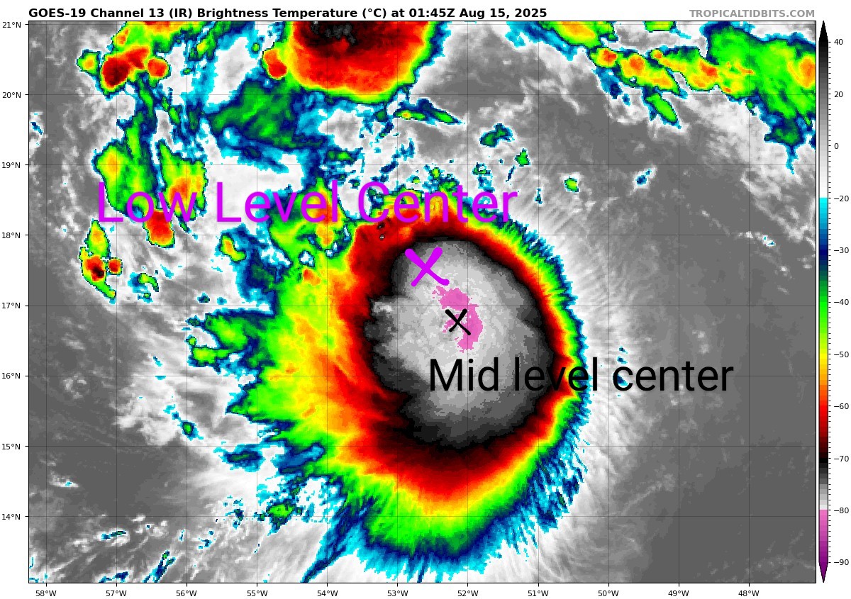
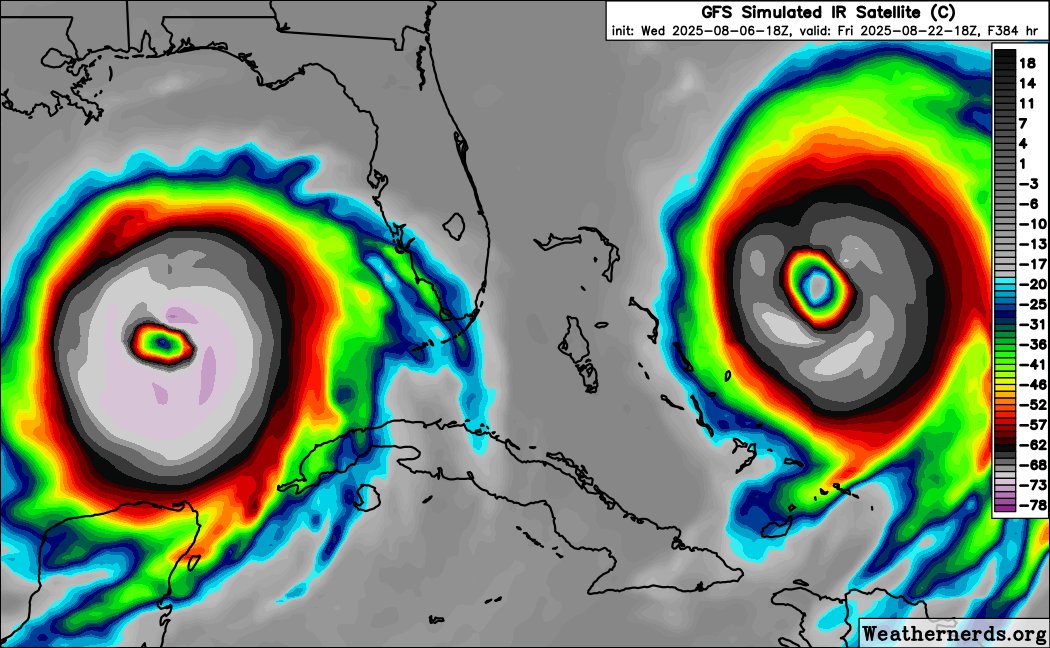
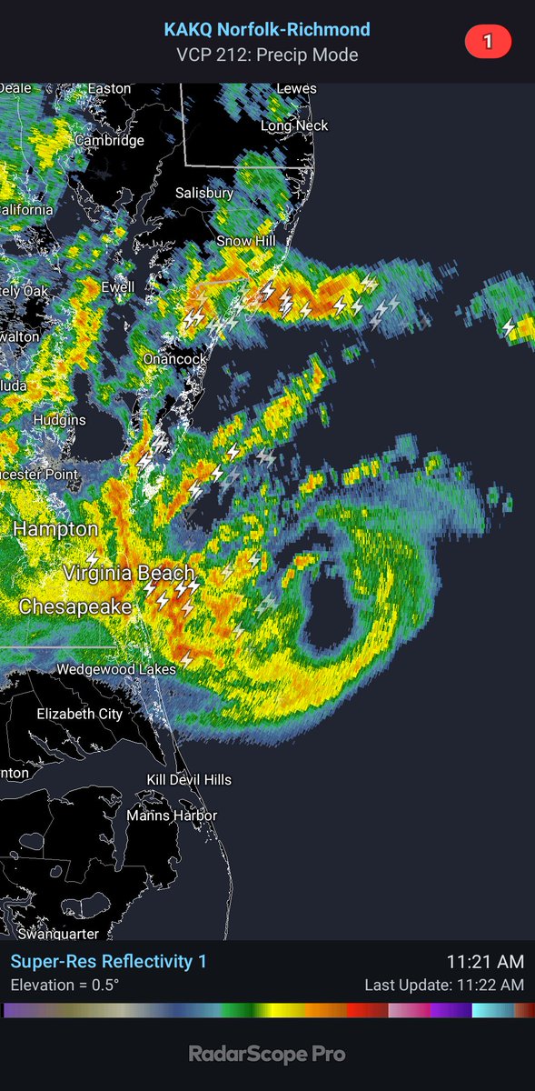
After a period of intense RI last night #Erin has cleared a pinhole eye only seen in the most extreme storms. It will continue to strengthen rapidly until choked off by the secondary eyewall, which is becoming apparent on radar, but is not as organized as the primary eyewall yet.
#Erin has undergone some structural changes overnight that poise it to begin strengthening quicker. A convective blob displaced to the SE side of the LLC was replaced by a small but concentrated band of storms around the LLC/MLC, aligning the storm and forming a true core.
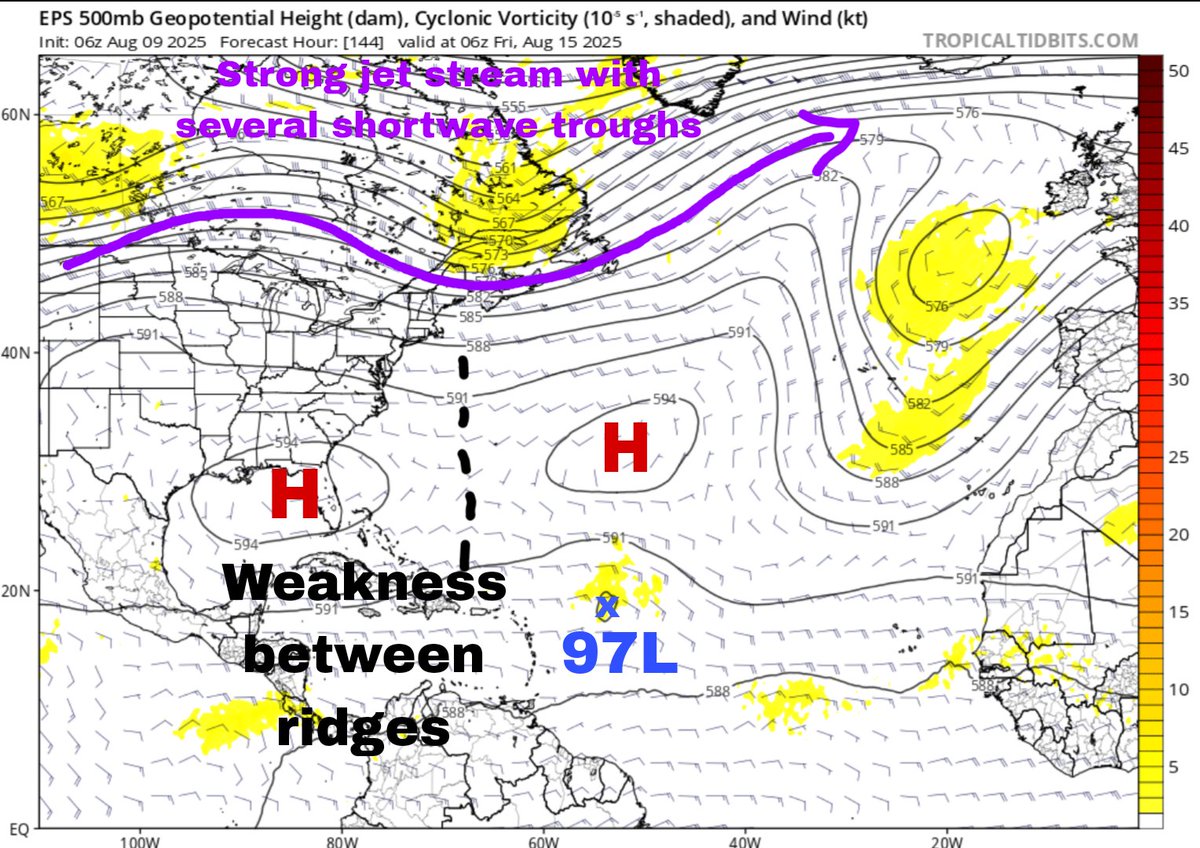
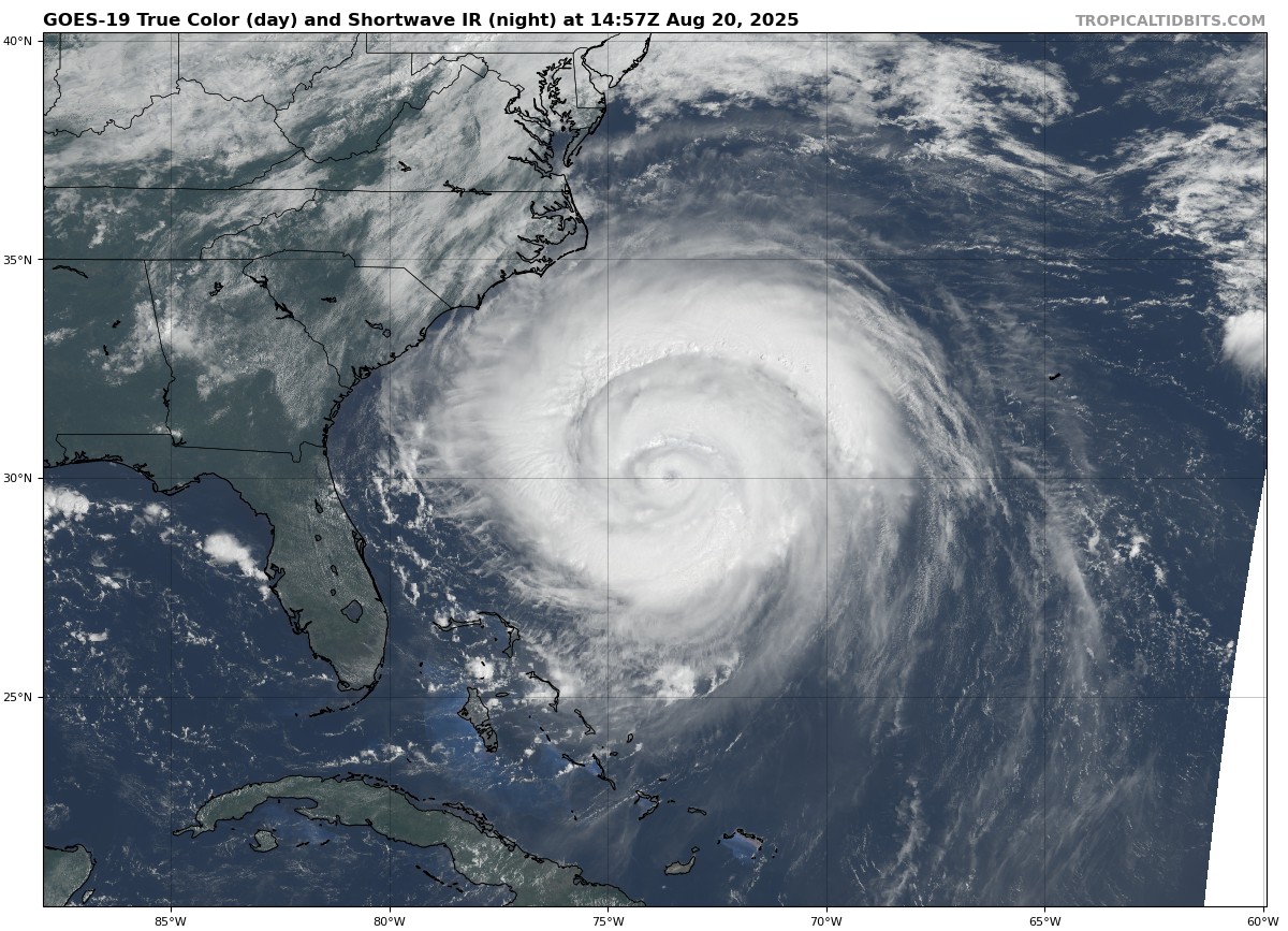
Models are starting to bump #Erin closer to the east coast as the 50/50 low weakens, allowing for the Bermuda high to try and bridge the gap with the CONUS ridge. Landfall threat is still highest for Bermuda but folks along the Outer Banks might need to watch this one.
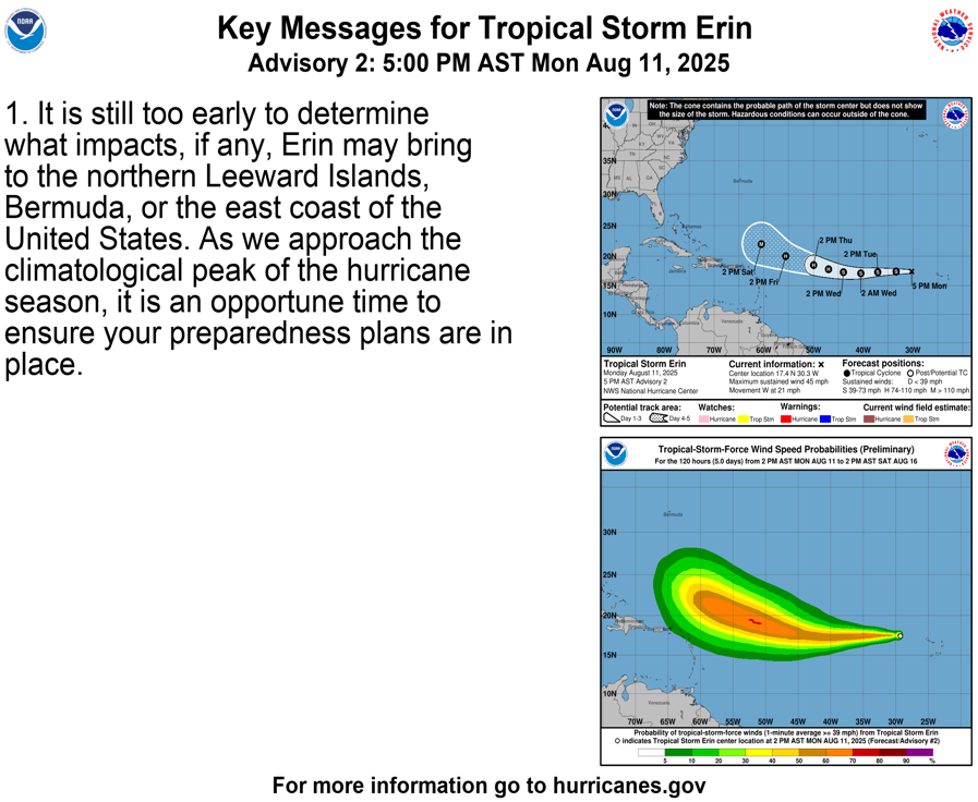
5pm EDT 8/11: Tropical Storm #Erin is forecast to gradually intensify as it moves westward across the tropical Atlantic. Please read the key message below, and see hurricanes.gov for more details.
NHC will initiate advisories on Tropical Storm Erin, located in the Eastern Tropical Atlantic, just west of the Cabo Verde Islands, at 1100 AM EDT (1500 UTC).
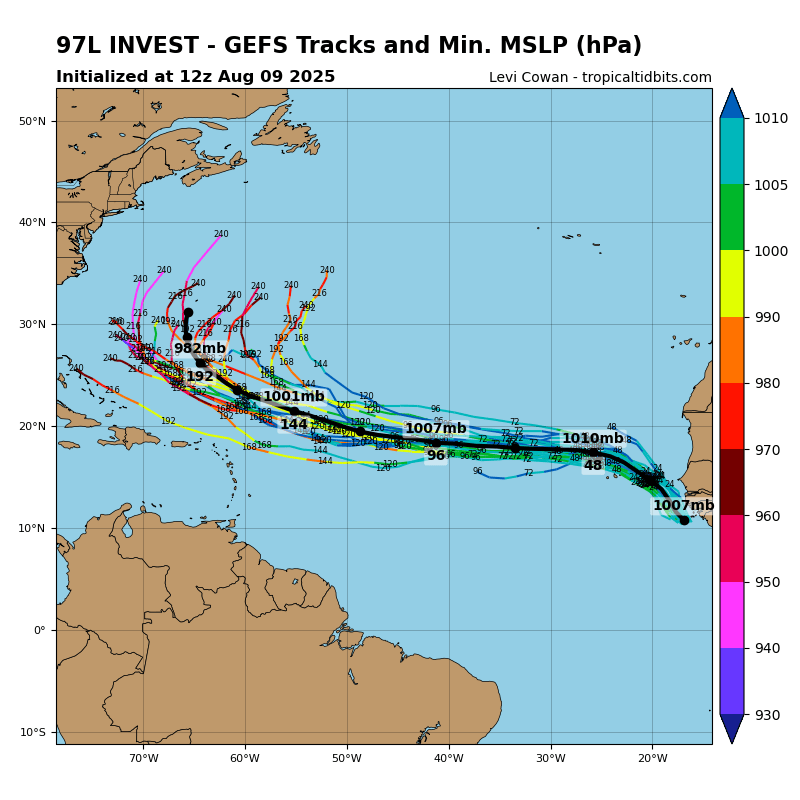
IMO, the most likely solution atp for #97L is a recurve. Ensembles show a weakness between subtropical ridges and an active jet stream with many chances to grab 97L. The best chance for it to sneak further west is if it struggles to organize and is blown west by sfc trade winds.