Sabitlenmiş Tweet

Wesley Barr BSc, BGIS storymaps.arcgis.com/stories/84a063… #StoryMaps via @ArcGISStoryMaps #portfolio #GIS
English
Wesley Barr
35 posts
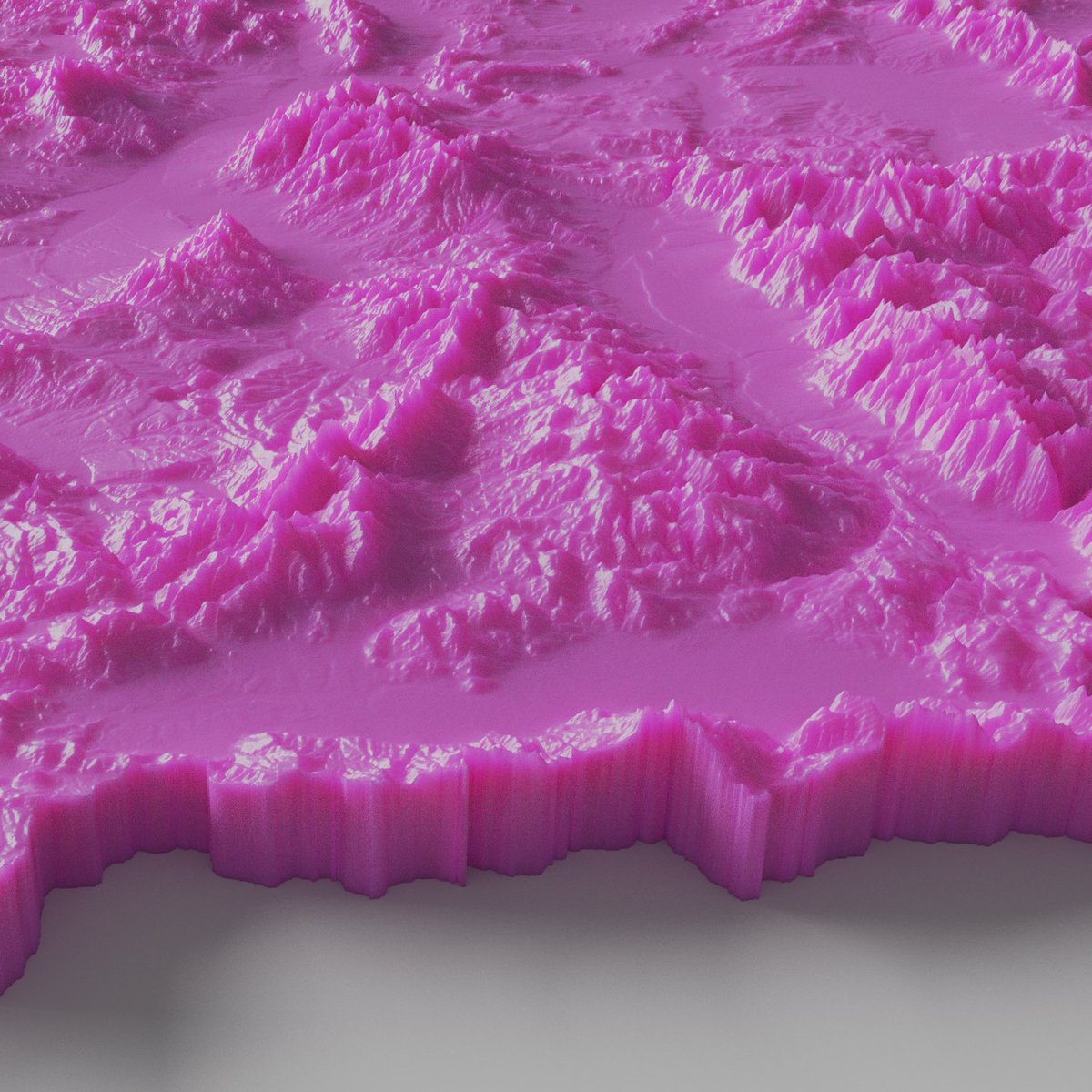
NEW: This week's climate graphic looks at the winter snow storm that blanketed the north-east of the US earlier this week. Have always wanted to use #blender for creating the snow Read @CamillaHodgson's report ft.com/content/9496fc… #gistribe #dataviz