Sabitlenmiş Tweet
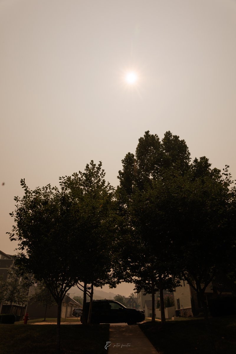
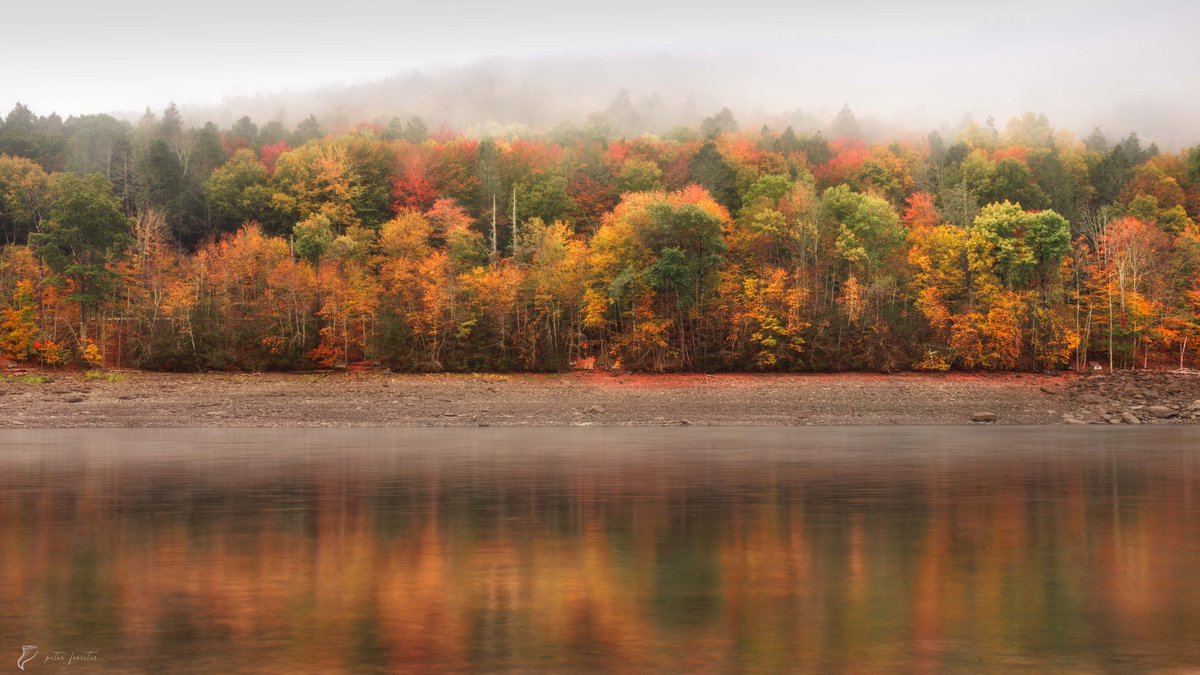
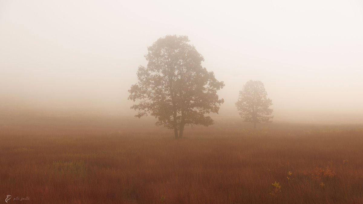
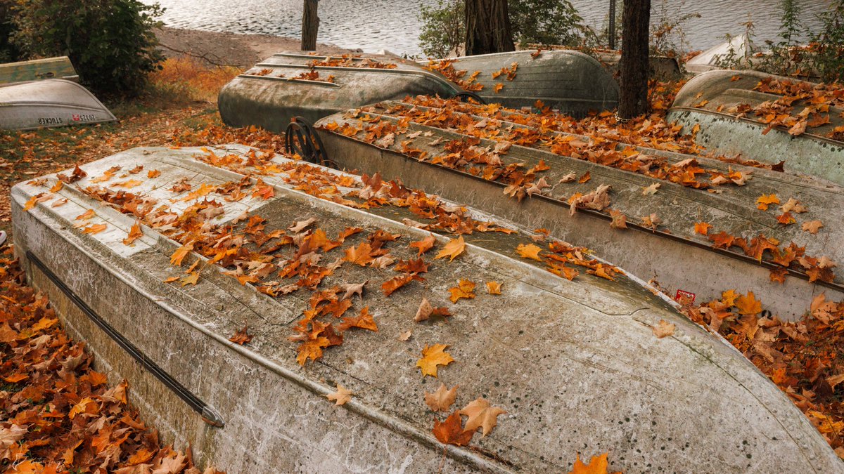
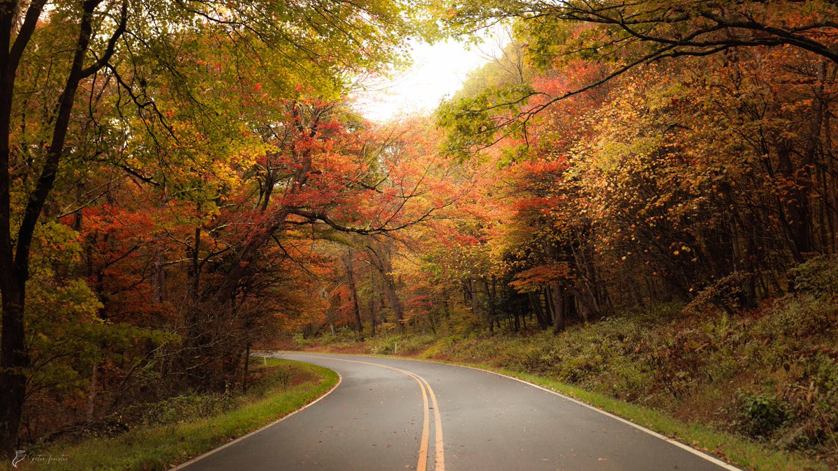
Autumn so far in Appalachia 🍂🍂
📍Shenandoah National Park and Catskill Mountain Park, October 2025
English
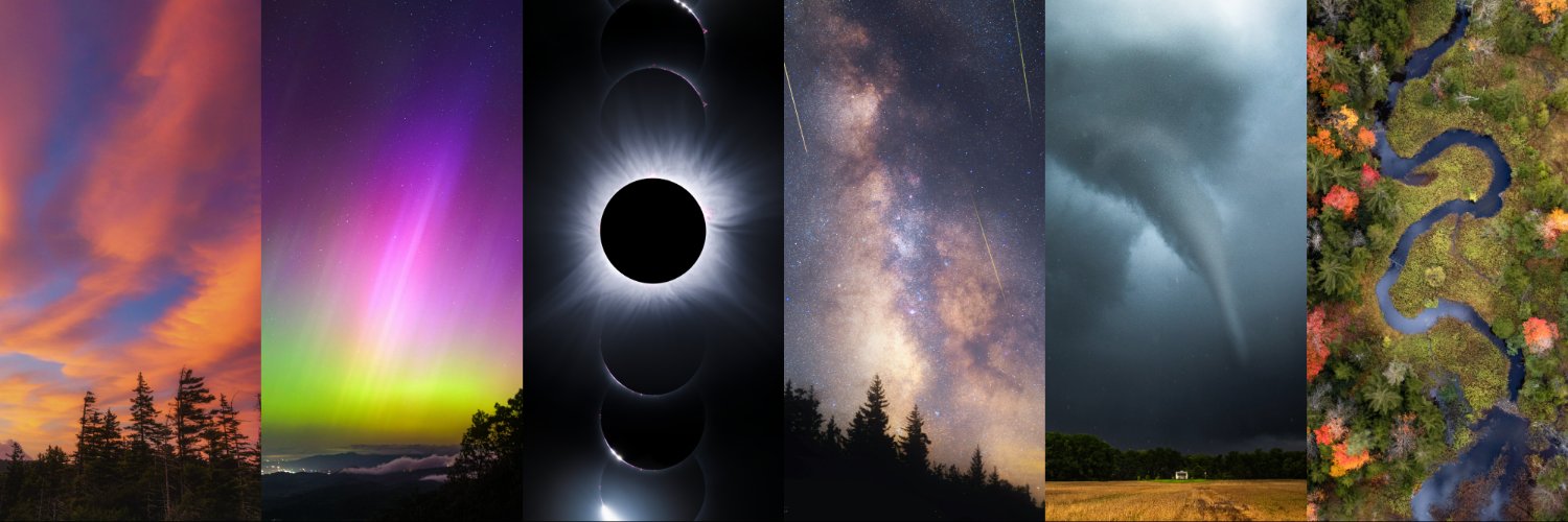
Peter Forister 🍁🍂🍁
21.6K posts
@forecaster25
Storm Chaser // Nature Photographer // Geographer // @ExploreFall Media Manager // Charlottesville, VA