GMRT retweetledi

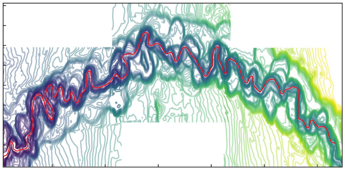
I recently started working on shape analysis of submarine meanders. #GeoMapApp is such a great tool to extract channel morphology. My Python algorithm to detect centreline is working well so far🤞
English
GMRT
19 posts


@gmrt_bathy
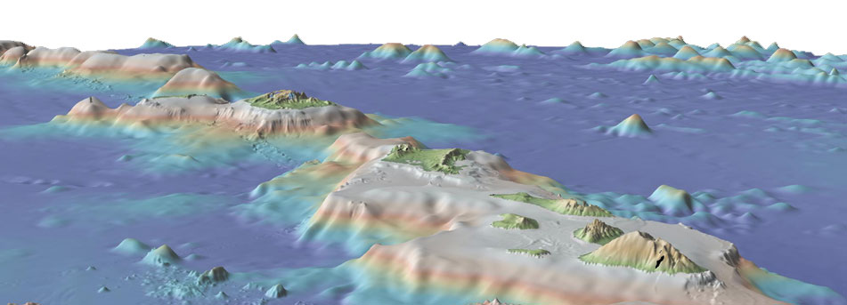
Global Multi-Resolution Topography (GMRT) is a data synthesis includes high quality high-resolution global bathymetry and other elevation data. Curated at LDEO.


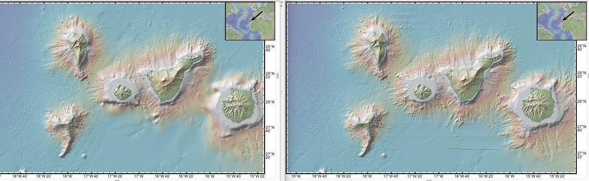
Most awesome map swipe EVER IMHO is by @drthevic: Swipe between the 1959 Tharp and Heezen map and the latest version of the @iedadata Global Multi-Resolution Topography (GMRT) Synthesis. Scroll down at bit.ly/2X3ITSf