
A new USGS assessment estimates that the southern Appalachian region of the eastern U.S. contains 1.43 million metric tons of undiscovered, economically recoverable lithium. That's enough lithium to replace more than 200 years of imports!
Lithium is essential for batteries that power electric vehicles, energy storage systems, and everyday electronics like cellphones and laptops.
The region, particularly North Carolina, has a history of lithium production, and this assessment shows it still contains significant lithium resources that could help support future U.S. demand.
Read more about what this geologic assessment means for U.S. supply: ow.ly/QRRB50Zet5O
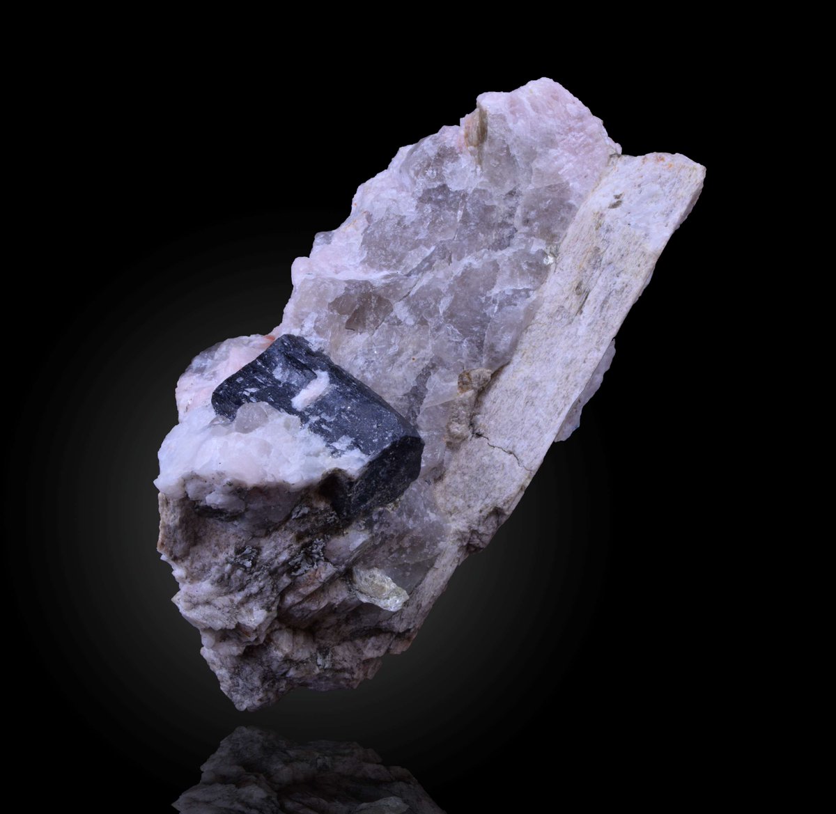
📷: Lithium in pegmatite, with tantalum (black)

English