Sabitlenmiş Tweet
Khule
5.1K posts

Khule
@greg_chap
Exploring AI, RWA, Web3 & DeFi 🚀 Breaking down tech + finance for curious minds. Sharing insights, trends & tools to help you thrive
Web3 Katılım Nisan 2011
2.8K Takip Edilen1.4K Takipçiler
Khule retweetledi

@greg_chap @dimitratech agricultural tech has always been in the shadows for a long time
good thing $DMTR - @dimitratech is stepping in to make it relevant again
x.com/i/status/20550…
Moriarty@Moriarty_winn
Dimitra puts six things on-chain for every farm that joins the network. Six categories of data, recorded at the source, captured as they happen, and viewable to anyone with a verified reason to look. To name all six: 1. Farm boundaries. The shape of the land. The corners. The perimeter It’s walked once with a phone, but verified by satellite and Locked on-chain forever. 2. Planting events. What was planted. When. On which plot. Sometimes by whom. Every cocoa seedling, every coffee bush, every row of soy is logged the day it goes in the ground. 3. Harvest volumes. How much came off the land. When. From which plot. 4. Transfers. When crops moved. Farm to cooperative. Cooperative to exporter. Exporter to ship. Every handoff timestamped. Every party signed in. Think FedEx tracking, but for the food that ends up in your kitchen. 5. Deforestation status. Was the land deforested after December 31, 2020? (The EUDR cutoff) Satellite imagery answers that question with timestamps a regulator can verify. Clean farms get the green flag. Compromised farms get caught at the border, not after the shipment moves. 6. Input usage. Fertilizer. Pesticides. Water. What was applied. How much. On which date. To which plot. The buyer paying a premium for clean cocoa gets to see why it costs more. All these categories are captured at the source and recorded as they happen. It’s a working record that buyers can audit, banks can underwrite, regulators can enforce, and farmers can prove ownership of. A coffee exporter in Ethiopia can demonstrate to EU customs that the beans were grown on land that’s been forested for generations. A soy producer in Brazil can document, plot by plot, that no Amazon rainforest was cleared to make room for this year’s harvest. That’s the backbone of an entire reform of how agriculture proves what it grows. The layer @dimitratech built.
English
Khule retweetledi
@greg_chap @dimitratech when it comes to coffee, $DMTR is making sure all gaps are bridged from processing to compliance
missing out on @dimitratech is a grave mistake rn
x.com/i/status/20550…
Moriarty@Moriarty_winn
Dimitra puts six things on-chain for every farm that joins the network. Six categories of data, recorded at the source, captured as they happen, and viewable to anyone with a verified reason to look. To name all six: 1. Farm boundaries. The shape of the land. The corners. The perimeter It’s walked once with a phone, but verified by satellite and Locked on-chain forever. 2. Planting events. What was planted. When. On which plot. Sometimes by whom. Every cocoa seedling, every coffee bush, every row of soy is logged the day it goes in the ground. 3. Harvest volumes. How much came off the land. When. From which plot. 4. Transfers. When crops moved. Farm to cooperative. Cooperative to exporter. Exporter to ship. Every handoff timestamped. Every party signed in. Think FedEx tracking, but for the food that ends up in your kitchen. 5. Deforestation status. Was the land deforested after December 31, 2020? (The EUDR cutoff) Satellite imagery answers that question with timestamps a regulator can verify. Clean farms get the green flag. Compromised farms get caught at the border, not after the shipment moves. 6. Input usage. Fertilizer. Pesticides. Water. What was applied. How much. On which date. To which plot. The buyer paying a premium for clean cocoa gets to see why it costs more. All these categories are captured at the source and recorded as they happen. It’s a working record that buyers can audit, banks can underwrite, regulators can enforce, and farmers can prove ownership of. A coffee exporter in Ethiopia can demonstrate to EU customs that the beans were grown on land that’s been forested for generations. A soy producer in Brazil can document, plot by plot, that no Amazon rainforest was cleared to make room for this year’s harvest. That’s the backbone of an entire reform of how agriculture proves what it grows. The layer @dimitratech built.
English
Khule retweetledi
@greg_chap @dimitratech agric technology only keeps getting better with each day that passes
$DMTR - @dimitratech is always ahead of the curve partnering with the government for compliance related issues
x.com/i/status/20550…
Moriarty@Moriarty_winn
Dimitra puts six things on-chain for every farm that joins the network. Six categories of data, recorded at the source, captured as they happen, and viewable to anyone with a verified reason to look. To name all six: 1. Farm boundaries. The shape of the land. The corners. The perimeter It’s walked once with a phone, but verified by satellite and Locked on-chain forever. 2. Planting events. What was planted. When. On which plot. Sometimes by whom. Every cocoa seedling, every coffee bush, every row of soy is logged the day it goes in the ground. 3. Harvest volumes. How much came off the land. When. From which plot. 4. Transfers. When crops moved. Farm to cooperative. Cooperative to exporter. Exporter to ship. Every handoff timestamped. Every party signed in. Think FedEx tracking, but for the food that ends up in your kitchen. 5. Deforestation status. Was the land deforested after December 31, 2020? (The EUDR cutoff) Satellite imagery answers that question with timestamps a regulator can verify. Clean farms get the green flag. Compromised farms get caught at the border, not after the shipment moves. 6. Input usage. Fertilizer. Pesticides. Water. What was applied. How much. On which date. To which plot. The buyer paying a premium for clean cocoa gets to see why it costs more. All these categories are captured at the source and recorded as they happen. It’s a working record that buyers can audit, banks can underwrite, regulators can enforce, and farmers can prove ownership of. A coffee exporter in Ethiopia can demonstrate to EU customs that the beans were grown on land that’s been forested for generations. A soy producer in Brazil can document, plot by plot, that no Amazon rainforest was cleared to make room for this year’s harvest. That’s the backbone of an entire reform of how agriculture proves what it grows. The layer @dimitratech built.
English
𝐖𝐡𝐲 𝐄𝐔𝐃𝐑 𝐌𝐚𝐤𝐞𝐬 𝐁𝐥𝐨𝐜𝐤𝐜𝐡𝐚𝐢𝐧 𝐓𝐫𝐚𝐜𝐞𝐚𝐛𝐢𝐥𝐢𝐭𝐲 𝐍𝐨𝐧-𝐍𝐞𝐠𝐨𝐭𝐢𝐚𝐛𝐥𝐞 𝐟𝐨𝐫 𝐂𝐨𝐜𝐨𝐚
@dimitratech $DMTR
𝐓𝐡𝐞 𝐫𝐞𝐠𝐮𝐥𝐚𝐭𝐨𝐫𝐲 𝐬𝐡𝐢𝐟𝐭
The EU Deforestation Regulation requires all cocoa entering the EU to be deforestation-free and fully traceable to the plot where it was grown. The EU imports ∼16% of global deforestation embodied in trade, and agriculture drives 73-95% of tree cover loss in top export countries.
The stakes are high for Africa: Sub-Saharan Africa exports $40.2B/year in EUDR-affected commodities. If farmers can't prove compliance, they risk losing access to the EU market, which takes ∼62% of Ghana's cocoa.
𝐖𝐡𝐞𝐫𝐞 𝐭𝐫𝐚𝐜𝐞𝐚𝐛𝐢𝐥𝐢𝐭𝐲 𝐬𝐭𝐚𝐧𝐝𝐬 𝐭𝐨𝐝𝐚𝐲
The gap is massive. In Côte d'Ivoire, only 48% of cocoa exports were traceable to cooperatives in 2024. Across West Africa, just ∼35% of cocoa is directly sourced, making full traceability nearly impossible without digital tools.
Ivory Coast has issued digital IDs to ∼900,000 of 1M farmers and traced 40% of beans in 2024-25, but admits it won't hit 100% without scaled tech.
𝐖𝐡𝐚𝐭 𝐃𝐢𝐦𝐢𝐭𝐫𝐚 𝐢𝐬 𝐚𝐜𝐭𝐮𝐚𝐥𝐥𝐲 𝐛𝐮𝐢𝐥𝐝𝐢𝐧𝐠
Dimitra's platform combines satellite monitoring, AI, and blockchain to create audit-ready proof for EUDR:
1. 𝐈𝐧𝐝𝐨𝐧𝐞𝐬𝐢𝐚 𝐄𝐔𝐃𝐑 𝐨𝐧𝐛𝐨𝐚𝐫𝐝𝐢𝐧𝐠: Partnering with PT Surveyor Indonesia to onboard up to 3M smallholder coffee and cocoa farmers in high-risk areas like Kerinci, Sumatra and Central Sulawesi. The focus is on regions with poor internet and no formal land titles, where compliance is hardest.
2. 𝐒𝐚𝐭𝐞𝐥𝐥𝐢𝐭𝐞 + 𝐀𝐈 𝐯𝐞𝐫𝐢𝐟𝐢𝐜𝐚𝐭𝐢𝐨𝐧: Dimitra maps farm geofences and compares tree cover against the EUDR's 2020 baseline. Predictive algorithms flag trees under 5m that could grow into regulated forest, ensuring farmers don't get caught out later.
3. 𝐁𝐥𝐨𝐜𝐤𝐜𝐡𝐚𝐢𝐧 𝐜𝐡𝐚𝐢𝐧-𝐨𝐟-𝐜𝐮𝐬𝐭𝐨𝐝𝐲: Every harvest is linked to a registered plot via GPS. Data is written to an immutable ledger, creating Due Diligence Statements compatible with the EU Information System.
4. 𝐂ô𝐭𝐞 𝐝'𝐈𝐯𝐨𝐢𝐫𝐞 𝐫𝐨𝐥𝐥𝐨𝐮𝐭: Launched Feb 2026 with CICOM SA to build EU-ready traceability at scale, covering digital profiling, plot mapping, and batch-level tracking from farm to export.
𝐖𝐡𝐲 𝐢𝐭 𝐦𝐚𝐭𝐭𝐞𝐫𝐬 𝐟𝐨𝐫 𝐢𝐧𝐯𝐞𝐬𝐭𝐨𝐫𝐬 𝐚𝐧𝐝 𝐛𝐮𝐲𝐞𝐫𝐬
- 𝐂𝐨𝐦𝐩𝐥𝐢𝐚𝐧𝐜𝐞-𝐫𝐞𝐚𝐝𝐲 𝐢𝐧𝐟𝐫𝐚𝐬𝐭𝐫𝐮𝐜𝐭𝐮𝐫𝐞: Dimitra sells software to cooperatives, governments, and NGOs, with boots-on-ground training to ensure data quality.
- 𝐌𝐚𝐫𝐤𝐞𝐭 𝐚𝐜𝐜𝐞𝐬𝐬: Farmers who can prove deforestation-free origin access premium EU markets. Buyers get audit-ready supply chains.
- 𝐒𝐜𝐚𝐥𝐚𝐛𝐢𝐥𝐢𝐭𝐲: The Dimitra Protocol standardizes data rails for AI services across millions of smallholders, turning compliance from a cost into a network effect.
𝐓𝐡𝐞 𝐛𝐢𝐠𝐠𝐞𝐫 𝐩𝐢𝐜𝐭𝐮𝐫𝐞
The EUDR is estimated to prevent 250,000 ha of deforestation annually by 2030. Blockchain traceability doesn't just tick a regulatory box. It creates a data layer that enables fairer pricing, faster financing, and climate reporting for smallholders.

English
Khule retweetledi

It was a quiet week in Jakarta, but with loud implications.
Jon Trask, CEO and founder of @dimitratech, shared an upbeat field update from Jakarta.
In the short video, he recaps a strong week of high-level meetings, including a key session with Indonesia’s Coordinating Ministry for Agriculture and Food—Deputy Minister.
They advanced a pilot project with partner PTSI focused on traceability and compliance to tackle the challenges in global agricultural supply chains.
The team signed another contract with PTSI, held productive stakeholder sessions across Indonesia’s Agricultural sector, and built groundwork for on-the-ground impact.
“More announcements are coming soon,” he notes.
I believe this is steady execution.
Indonesia is one of the world’s largest agricultural producers (palm oil, rice, cocoa, coffee, spices), and they face pressure around sustainability, deforestation, smallholder inclusion, export compliance (e.g., EU regulations), and yield optimization amid climate variability.
Dimitra’s approach, layering AI-driven insights, satellite analytics, blockchain for verifiable traceability, and practical tools for farmers and cooperatives, aligns with these needs.
I’m optimistic about initiatives like this because they tackle high-stakes problems at the intersection of technology, economics, and human development.
Smallholder farmers who produce a huge share of food in developing nations often lack access to precision tools, market transparency, or financing tied to verifiable performance.
Governments and buyers demand better compliance on sustainability and origin.
Traditional systems struggle with fragmentation, fraud risks in supply chains, and slow data flows.
Dimitra’s stack addresses this holistically, with:
>>AI + satellite data
>>Blockchain/protocol layer
>>Token utility, and
>>Focus on outcomes
Progress in Indonesia shows institutional interest.
Partnerships with ministries and local players like PTSI are how real adoption scales beyond pilots to national or regional infrastructure.
Indonesia’s size and strategic importance in commodities make this a high-leverage deployment.
Jon’s update feels like momentum from real contracts, ministerial alignment, and a pipeline of announcements.
For $DMTR holders and the broader AgTech space, this reinforces Dimitra as a leader in applying frontier tech to one of humanity’s oldest industries.
I’m excited to see the follow-through: expanded pilots turning into scaled programs, measurable improvements in farmer outcomes in Indonesia, and how the protocol integrates more deeply with global supply chains.
In a world in need of both food security and verifiable sustainability, projects that bridge AI/blockchain with agriculture deserve attention and support.
Solid week in Jakarta, team.
English

Are you a small account
Just say = Hey 👋 💐
Lets boost you gain 1000 followers 🙋♀️🔔
English
@dimitratech is breaking barriers in agriculture by turning farm data into a real asset.
Its connected farmer platform combines AI, blockchain, satellite tools & mobile access to help smallholders digitize farms, improve traceability & meet export compliance requirements like EUDR-related due diligence. #Dimitra also records deforestation reports on blockchain, making them immutable & tamper-proof.
That matters because in global trade, verified data can mean market access, premium buyers, and lower financing friction. Platforms like Dimitra #Connectedfarmer, Dimitra #ConnectedCoffee are building the infrastructure farmers need to compete in compliance-driven markets. 🌱
For investors, the question is no longer whether agriculture will digitize — it is who owns the data layer and who captures the value. $DMTR #AgTech #Traceability #FoodSecurity
Fitri Annisa@FitriAn22130716
Everyone talks about food security. But few talk about data security in agriculture. Who owns farm data will shape the future of global trade. Platforms like @DimitraTech are already in this space. 🌱 #DMTRTeam $DMTR
English
Love this — huge congrats to the team! @dimitratech & @dimitrajon 🌾🇮🇩 Great to hear the PTSI momentum is turning into concrete steps for traceability and compliance on the ground. Can’t wait for the next announcements — excited to see impact across Indonesia’s farms. $DMTR #Indonesia #AgTech #Traceability
English
Khule retweetledi
Wrapping up a strong week in Jakarta. 🇮🇩
Beyond the PTSI agreement, the team had a productive run of meetings with partners and stakeholders across Indonesia's agricultural sector, lining up the next steps for traceability and compliance work on the ground.
More announcements coming soon.
#Indonesia #AgTech #Traceability $DMTR #Dimitra
English
Khule retweetledi

$DMTR l @dimitratech
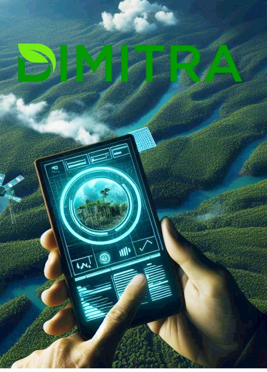
$DMTR is a usage-driven utility token powering the Dimitra Protocol, a real-world AgTech platform that combines AI, satellite imagery, blockchain, and data science for smallholder farmers.
It delivers crop 🌾 monitoring, yield forecasting, traceability, #EUDR (EU 🇪🇺 Deforestation Regulation) compliance, carbon credits, and #ESG reporting.
$DMTR token’s value comes from real usage on the Dimitra platform 👨💻
The more farmers and exporters use its AI and satellite tools for crop monitoring, yield forecasts, and #EUDR compliance, the more $DMTR gets consumed through sign-ups, reports, token burns, and staking.
The perfect timing?
EU 🇪🇺 #EUDR rules kick in fully in late 2026–2027, forcing millions of smallholders to prove their crops are deforestation-free. At the same time, the AgTech sector is growing fast.
This gives $DMTR a rare edge: real regulatory tailwinds plus measurable on-chain demand ✅
English
Khule retweetledi

What if your entire agribusiness operation could be managed from one intelligent dashboard?
With Dimitra Technology, businesses gain:
✔️ customizable dashboards
✔️ permission management
✔️ real-time field insights
✔️ data-driven decision making
Control the data. Optimize the future.
#PrecisionAgriculture #AgricultureTechnology #Dimitra #BusinessIntelligence #AgTechSolutions
English
Khule retweetledi

🤝 Most partnerships in crypto are just logos on a website. $DMTR ’s partnerships are being deployed in real agricultural economies.
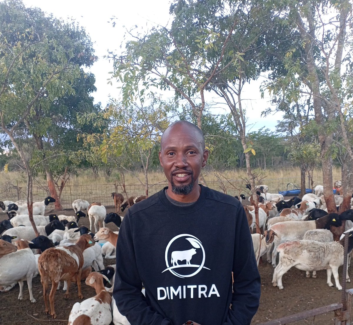
@dimitratech has built partnerships across governments, cooperatives, exporters, and agricultural organizations in more than 40 countries. The focus is not hype — it’s implementation.
🌍 In Kenya, Dimitra partnered with major coffee cooperative networks to support ##EUDR compliance, ESG systems, and carbon initiatives. These programs are designed to help farmers maintain access to international markets while improving traceability.
In Peru, Dimitra worked on one of the first EUDR-compliant coffee export initiatives using AI, blockchain, and satellite verification. This created a fully traceable path from farm to export. In Cameroon, Dimitra partnered on efforts to digitize coffee supply chains and onboard farmers into verified agricultural systems. The goal is to improve compliance, efficiency, and access to premium buyers.
📊 Dimitra is also working with agricultural agencies in countries like Brazil, India, and Nepal. These collaborations focus on scaling digital farm infrastructure and improving operational visibility. Beyond agriculture, Dimitra is expanding into carbon and ESG markets through environmental projects tied to verified land data and monitoring systems.
Every new partnership adds farmers, supply chains, transactions, and real-world utility to the ecosystem powered by DMTR.
🚀 The strategy is clear. Build partnerships that generate infrastructure, adoption, and long-term economic activity — not just headlines.
English
𝗘𝗺𝗽𝗼𝘄𝗲𝗿𝗶𝗻𝗴 𝗙𝗮𝗿𝗺𝗲𝗿𝘀 𝘄𝗶𝘁𝗵 𝗩𝗲𝗿𝗶𝗳𝗶𝗲𝗱 𝗗𝗶𝗴𝗶𝘁𝗮𝗹 𝗜𝗱𝗲𝗻𝘁𝗶𝘁𝗶𝗲𝘀
At @dimitratech ( $DMTR), we’re using 𝗯𝗹𝗼𝗰𝗸𝗰𝗵𝗮𝗶𝗻 𝘁𝗲𝗰𝗵𝗻𝗼𝗹𝗼𝗴𝘆 to provide farmers with 𝘀𝗲𝗰𝘂𝗿𝗲, 𝘁𝗮𝗺𝗽𝗲𝗿-𝗽𝗿𝗼𝗼𝗳 𝗱𝗶𝗴𝗶𝘁𝗮𝗹 𝗶𝗱𝗲𝗻𝘁𝗶𝘁𝗶𝗲𝘀—identities they fully control. 💠🧑🌾
With a verified digital identity, farmers can:
𝗔𝗰𝗰𝗲𝘀𝘀 𝗳𝗶𝗻𝗮𝗻𝗰𝗶𝗮𝗹 𝘀𝗲𝗿𝘃𝗶𝗰𝗲𝘀, such as loans or insurance, without relying on intermediaries
𝗦𝗲𝗹𝗹 𝗽𝗿𝗼𝗱𝘂𝗰𝗲 𝘁𝗼 𝘃𝗲𝗿𝗶𝗳𝗶𝗲𝗱 𝗯𝘂𝘆𝗲𝗿𝘀 and participate in global markets 🌐
𝗕𝘂𝗶𝗹𝗱 𝗮 𝗰𝗿𝗲𝗱𝗶𝗯𝗹𝗲 𝗼𝗻𝗹𝗶𝗻𝗲 𝗽𝗿𝗲𝘀𝗲𝗻𝗰𝗲 that opens doors to partnerships and investment
By combining 𝘀𝗲𝗰𝘂𝗿𝗶𝘁𝘆, 𝘁𝗿𝗮𝗻𝘀𝗽𝗮𝗿𝗲𝗻𝗰𝘆, 𝗮𝗻𝗱 𝗽𝗿𝗶𝘃𝗮𝗰𝘆, Dimitra ensures farmers can participate in the digital economy confidently, unlocking 𝗿𝗲𝗮𝗹 𝗲𝗰𝗼𝗻𝗼𝗺𝗶𝗰 𝗼𝗽𝗽𝗼𝗿𝘁𝘂𝗻𝗶𝘁𝗶𝗲𝘀 for smallholder communities.
#DecentralizedIdentity #BlockchainForGood #AgTech #FinancialInclusion #DigitalTransformation #SmallholderEmpowerment
English
Khule retweetledi

High-integrity carbon markets come down to transparency, reliable MRV, and traceability.
Most markets struggle with exactly that.
That's the gap @dimitratech is working on. They just signed on as a sponsor of the Peru Carbon Forum 2026.
Their approach to the verification problem:
▪️ Satellite monitoring for land and farm traceability
▪️ AI-powered analysis at plot level
▪️ Digital MRV instead of manual reporting
▪️ Blockchain-enabled transparency across the full chain
Dimitra's ESG Compass already works with ABRAFRUTAS members, helping fruit producers prove compliance and reach markets they'd otherwise be locked out of.
One of the more grounded use cases for crypto and AI I've come across. Better infrastructure for something that already exists.
English
English
Khule retweetledi
Getting started with ESG does not have to feel overwhelming.
In Episode 3 of our ESG Video Series, we walk through how Dimitra ESG Compass takes you from a free assessment to a structured report you can share with buyers and compliance authorities.
Start with a free ESG check-up on our website.
dimitra.io/esg/
#AgTech #ESG #CarbonMarkets #Carbon
English
Khule retweetledi

Some Updated $DMTR stats...
✳️ 7M+ farmers contracted! 🧑🌾
✳️ In 45+ countries, 18 languages
✳️ Partnered with $OCEAN & $OM
✳️ AI token for farmers productivity
✳️ Team of 125+ people around the world 🌍
✳️ New gov contracts ✔️
✳️ Upcoming Dimitra AI Protocols ⚡️
English
Khule retweetledi
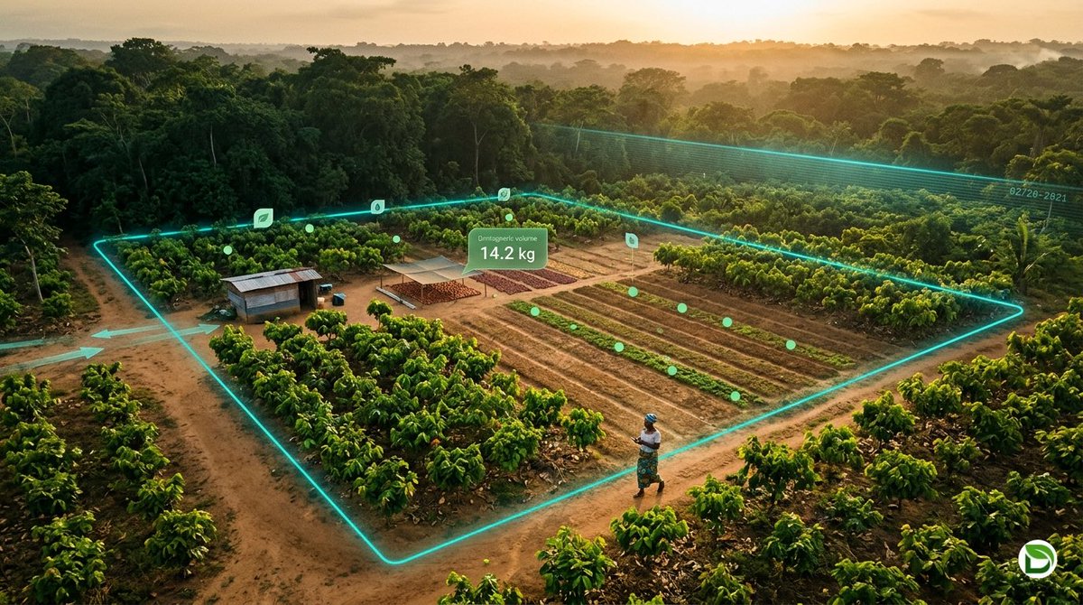
Dimitra puts six things on-chain for every farm that joins the network.
Six categories of data, recorded at the source, captured as they happen, and viewable to anyone with a verified reason to look.
To name all six:
1. Farm boundaries.
The shape of the land. The corners. The perimeter
It’s walked once with a phone, but verified by satellite and Locked on-chain forever.
2. Planting events.
What was planted. When. On which plot. Sometimes by whom.
Every cocoa seedling, every coffee bush, every row of soy is logged the day it goes in the ground.
3. Harvest volumes.
How much came off the land. When. From which plot.
4. Transfers.
When crops moved. Farm to cooperative. Cooperative to exporter. Exporter to ship.
Every handoff timestamped. Every party signed in.
Think FedEx tracking, but for the food that ends up in your kitchen.
5. Deforestation status.
Was the land deforested after December 31, 2020? (The EUDR cutoff)
Satellite imagery answers that question with timestamps a regulator can verify.
Clean farms get the green flag. Compromised farms get caught at the border, not after the shipment moves.
6. Input usage.
Fertilizer. Pesticides. Water.
What was applied. How much. On which date. To which plot.
The buyer paying a premium for clean cocoa gets to see why it costs more.
All these categories are captured at the source and recorded as they happen.
It’s a working record that buyers can audit, banks can underwrite, regulators can enforce, and farmers can prove ownership of.
A coffee exporter in Ethiopia can demonstrate to EU customs that the beans were grown on land that’s been forested for generations.
A soy producer in Brazil can document, plot by plot, that no Amazon rainforest was cleared to make room for this year’s harvest.
That’s the backbone of an entire reform of how agriculture proves what it grows. The layer @dimitratech built.
English
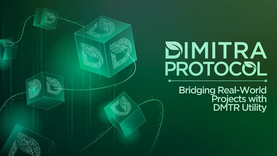
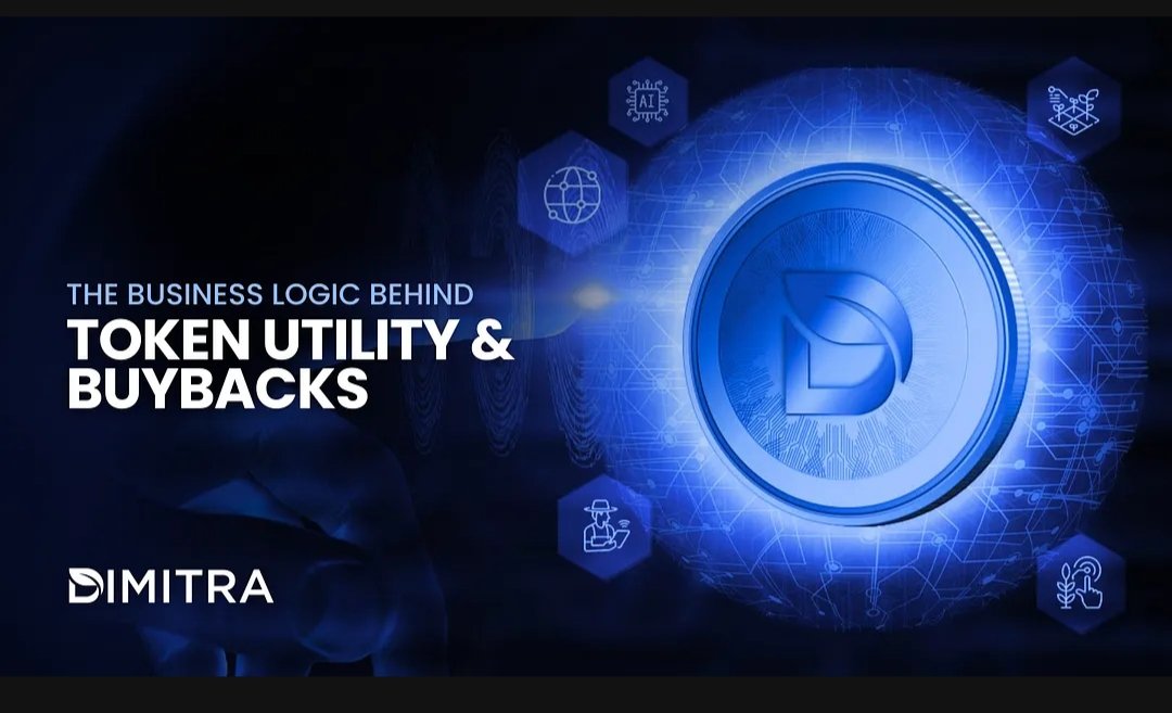
🌍 How $DMTR is Solving the $2.5 Trillion Agricultural Compliance Crisis
𝗧𝗵𝗲 𝗰𝗹𝗼𝗰𝗸 𝗶𝘀 𝘁𝗶𝗰𝗸𝗶𝗻𝗴. 𝗕𝘆 𝗗𝗲𝗰𝗲𝗺𝗯𝗲𝗿 𝟯𝟬, 𝟮𝟬𝟮𝟲, 𝘁𝗵𝗲 𝗘𝗨 𝗗𝗲𝗳𝗼𝗿𝗲𝘀𝘁𝗮𝘁𝗶𝗼𝗻 𝗥𝗲𝗴𝘂𝗹𝗮𝘁𝗶𝗼𝗻 (𝗘𝗨𝗗𝗥) 𝘄𝗶𝗹𝗹 𝗯𝗲 𝗶𝗻 𝗳𝘂𝗹𝗹 𝗳𝗼𝗿𝗰𝗲. For global exporters of coffee, cocoa, and soy, the "burden of proof" has shifted: if you can’t prove your product didn't come from deforested land, you’re locked out of the European market.
This isn't just a logistics problem—it’s a data integrity problem. And it’s exactly where Dimitra ( $DMTR) is bridging the gap between Web3 tech and real-world impact.
🔄 The "Invisible" Buyback: How the Economy Works
𝗛𝗼𝘄 𝗱𝗼 𝘆𝗼𝘂 𝗴𝗲𝘁 𝗿𝗲𝗮𝗹-𝘄𝗼𝗿𝗹𝗱 𝗰𝗼𝗺𝗽𝗮𝗻𝗶𝗲𝘀 𝘁𝗼 𝘂𝘀𝗲 𝗮 𝘁𝗼𝗸𝗲𝗻?
Dimitra’s answer is a Circular Utility Loop that removes all friction for the end-user:
Fiat-First Entry: A government or coffee cooperative pays for compliance services in their local currency (fiat). They don't need a crypto wallet; they just need a compliance certificate.
Treasury Execution: Dimitra’s treasury allocates a portion of this revenue to acquire $DMTR from the market. This isn't a speculative play—it’s fuel for the engine.
On-Chain Validation: These tokens power the smart contracts that run AI satellite analysis, verify GPS coordinates, and mint immutable compliance certificates.
🛡️ Why Blockchain? (It’s Not Just a Database)
Critics often ask why a standard database wouldn't work. For EUDR, the stakes are too high for "trust-me" systems.
Immutability: Once a farmer logs a harvest's GPS data on the Dimitra app, it’s cryptographically hashed. It cannot be backdated, deleted, or altered by a third party.
Trustless Audits: EU regulators don't have to trust a local spreadsheet; they can verify the proof directly on the ledger.
Decentralized Incentives: $DMTR isn't just burned; it’s used to reward the farmers and data providers who maintain the "ground truth" of the network.
📈 Real Impact in 2026
This isn't theoretical. Dimitra is currently scaling:
National Traceability: Partnering with nations like Uganda and Ethiopia to secure coffee exports for millions of smallholder farmers.
Global Reach: From carbon projects in Peru to cocoa in Côte d'Ivoire, the $DMTR utility grows with every hectare mapped.
The Bottom Line: As regulations tighten, $DMTR utility scales. We are moving past the era of "speculative tokens" and into the era of compliance-backed assets.
#AgTech #EUDR #Blockchain #Sustainability #DMTR #Web3 #SupplyChain
English
Khule retweetledi

If you're looking to expand your knowledge in agriculture and sustainability, register for free UN courses on sustainable agriculture, food security, climate-smart agriculture, nutrition, fisheries, forestry, and rural development.
👇👇 opportunitiesfeed.com/2026/05/09/fao…
English